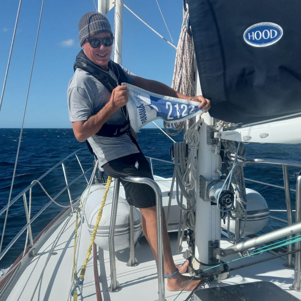
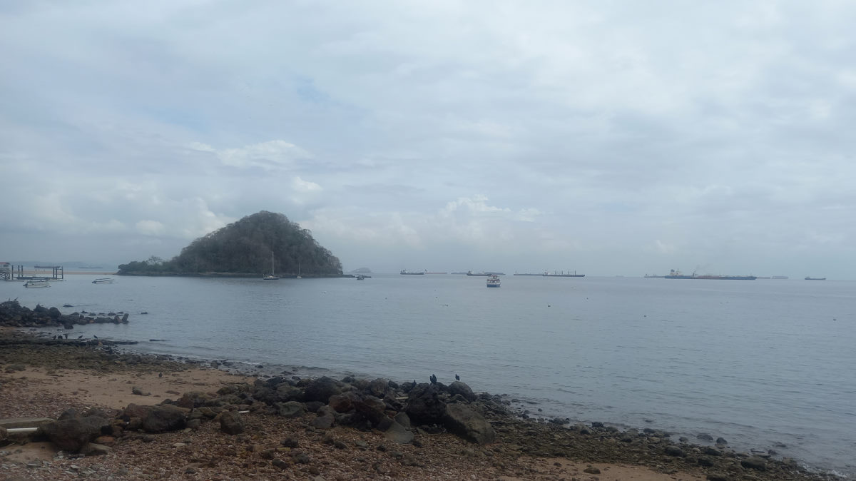
Bahía Santa Elena to Playa Iguanita (Windy day!)
| DATE: | 21 February, 2022 |
| DEPARTURE: | Bahía Santa Elena |
| DESTINATION: | Playa Iguanita |
| DESTINATION LAT/LONG: | 10°37.550N 85°37.9105W |
| TRIP: | 44.8 |
| ENGINE HOURS (at Destination): | 868.19 |
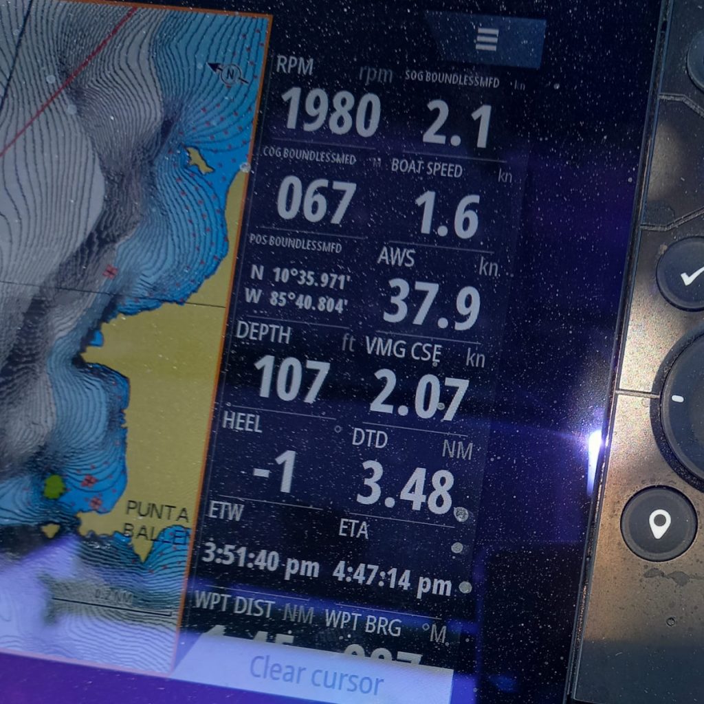
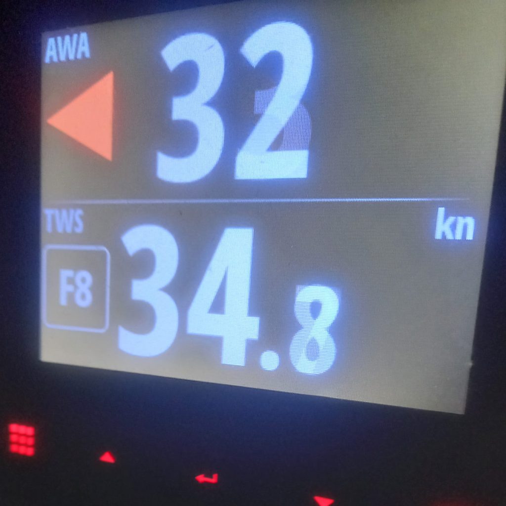
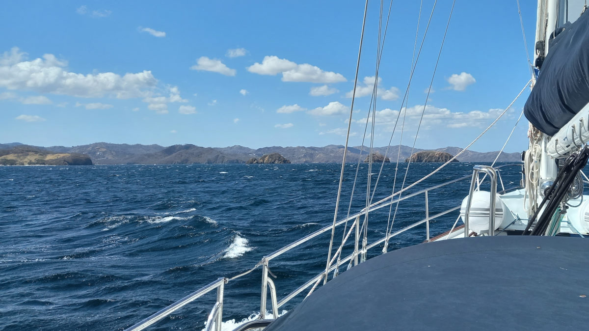
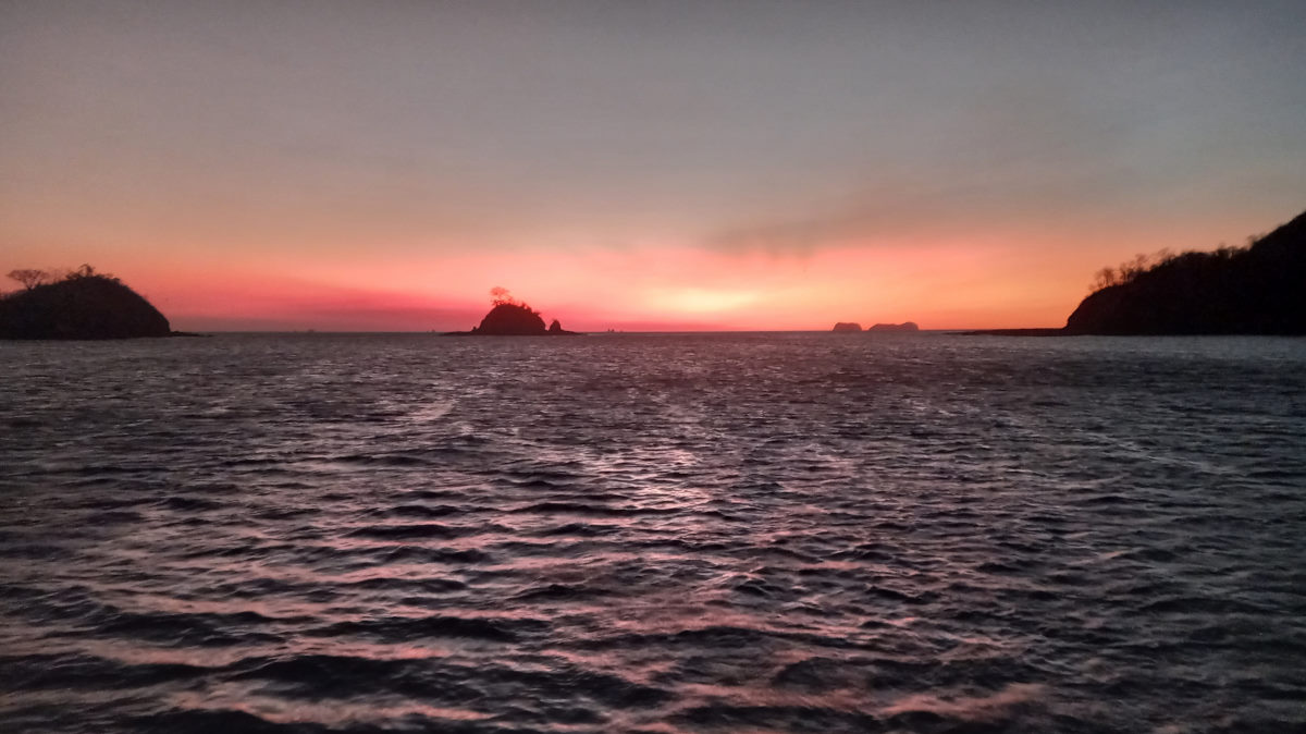
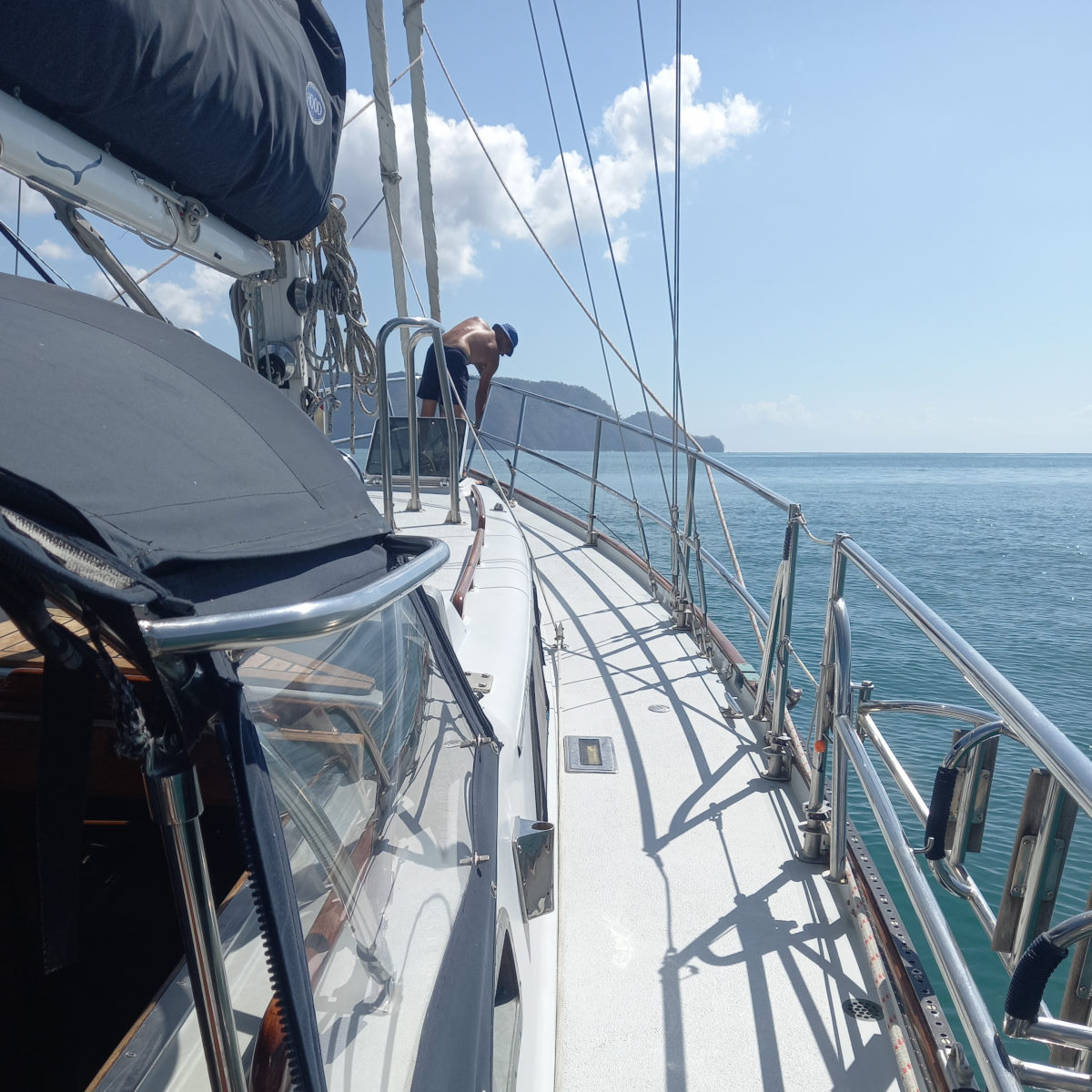
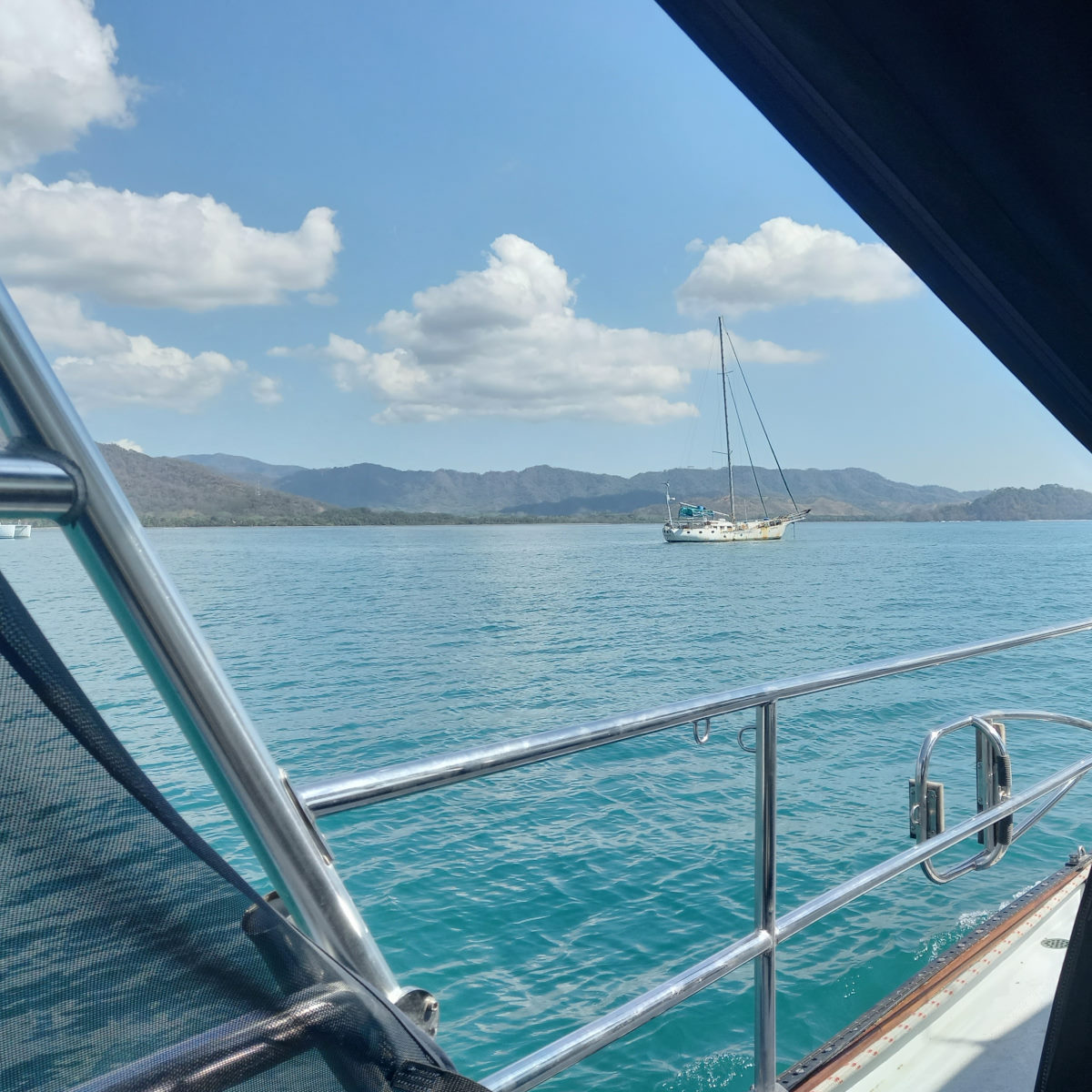
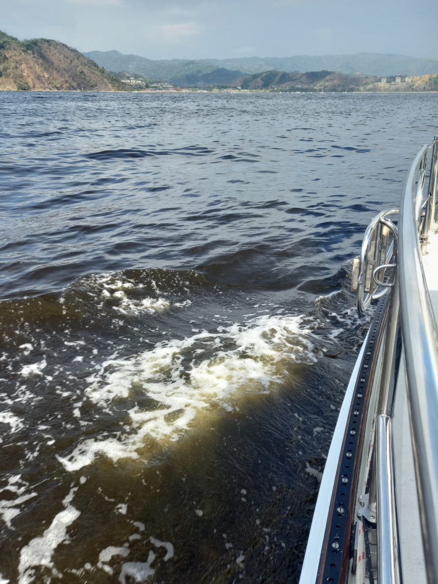
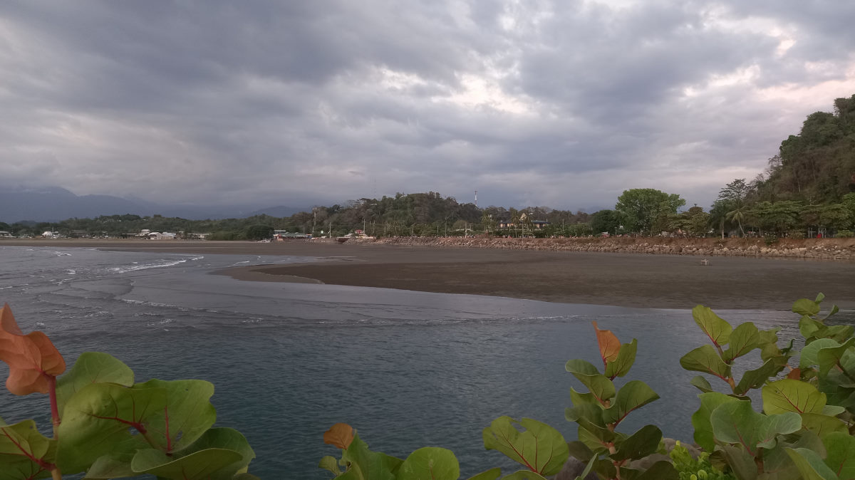
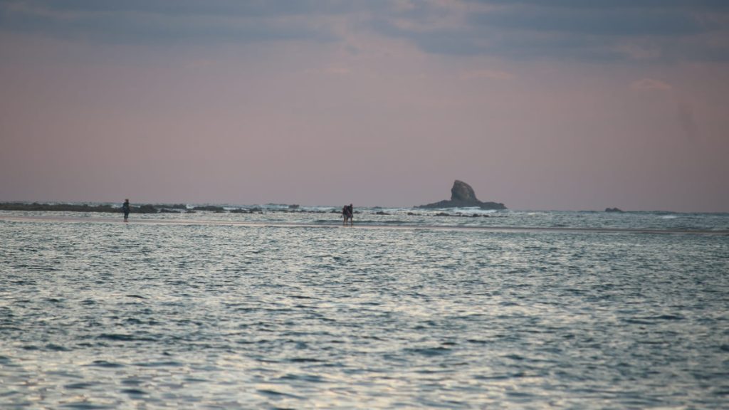
Bahía Elena had been a comfortable place to spend the last two days, but the constant strong puffs were a good indicator of what we could expect when leaving the protection of the bay. We left our double reef in the main and sailed out into the Papagayo winds, taking a welcome left-hand turn with the wind pretty much behind us, pushing us down to Punta Blanca at a rapid pace. Turning the point, we expected to get protection again, from the land mass, which while the wind was indeed reduced, left us with variable gusts for the next section of the trip on the north side of the Murciélagos. Trying to make the gap between Isla Pelada and the Murciélagos was a challenge with gusts from various directions but often too low of an angle to sail comfortable, so we put the engine on for five minutes to get us through and clear of the final small island at the east end of the Murciélagos group.
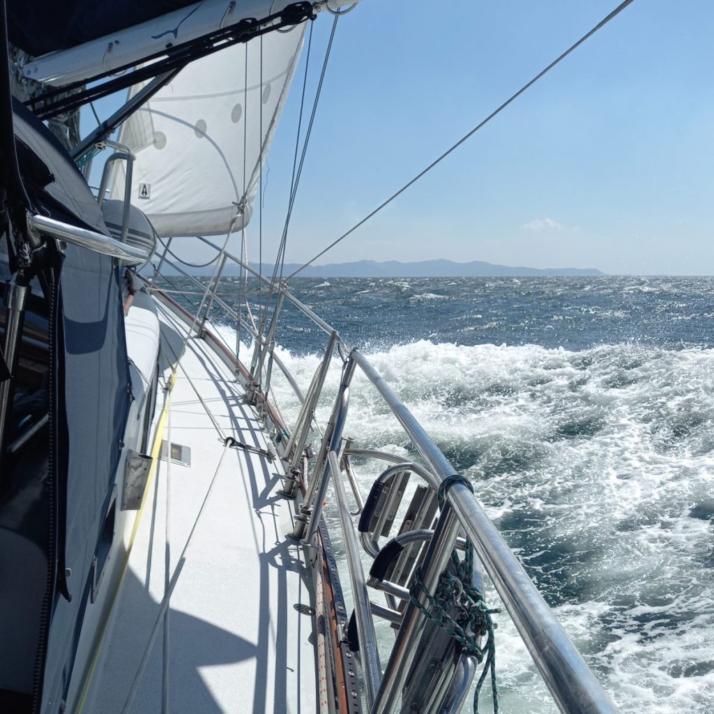
As we cleared the point of land that left us to cross Bahía Potrero Grande it was clear we were again going to be well blasted crossing this relatively open piece of water, so we chose to follow the coast for the start to minimize the fetch. Bohemia elected to go straight across! We had a super fun and very sporty sail across the bay. We saw 42 knots of wind, and Bohemia saw a maximum wind speed of 48 from their instruments. With a double reefed main and the staysail, Boundless was very comfortable, and it was fun to experience the boat in these conditions and comforting to go below where the world seems eerily quiet and sane after leaving the noise and chaos around us in the cockpit.
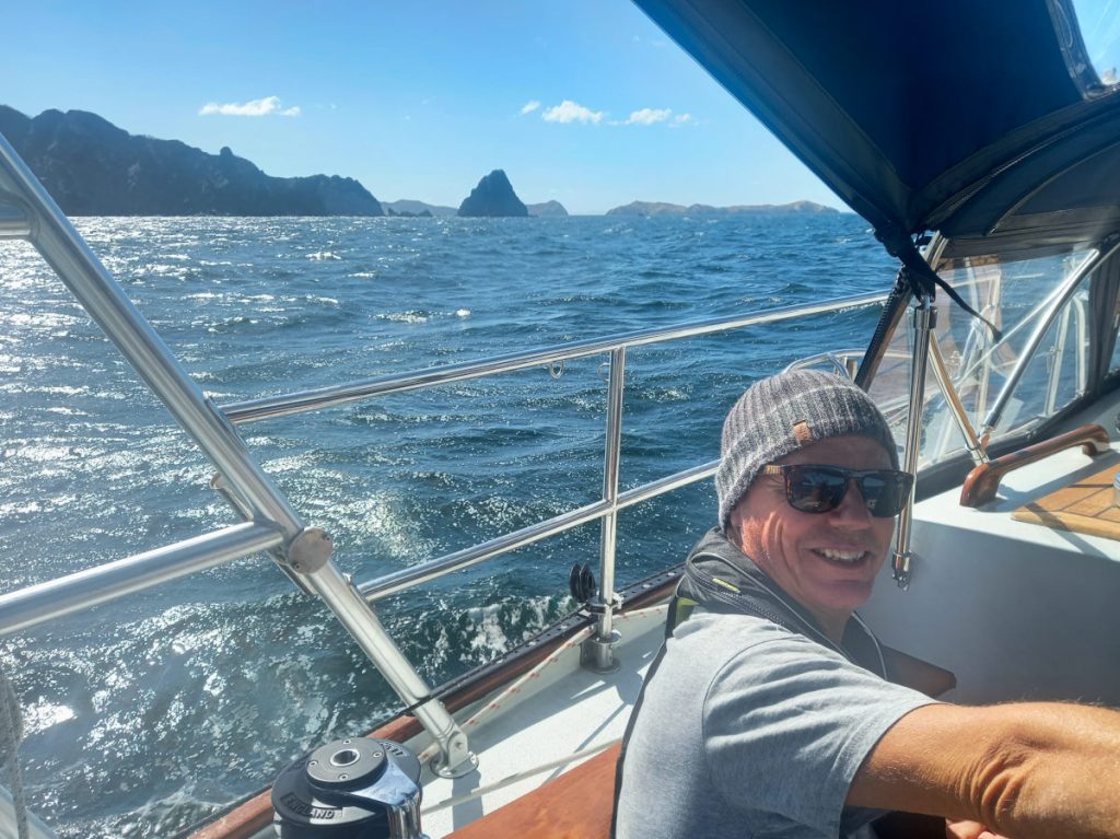
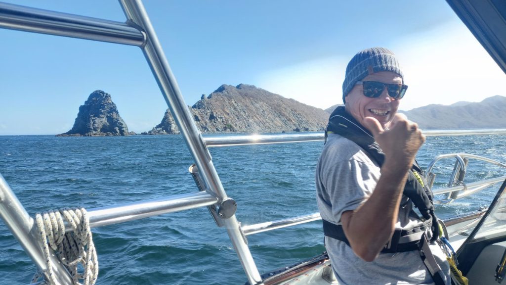
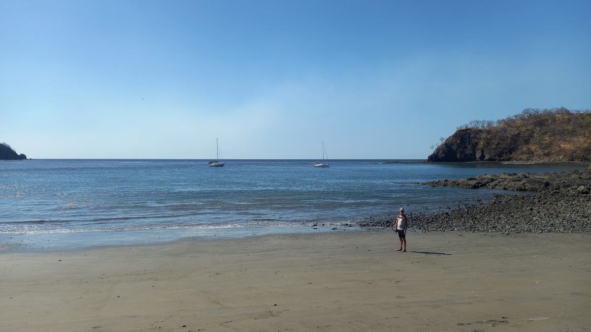
Approaching Islas Viradores, we felt we were almost at the Marina, and, for some reason, which makes no sense in retrospect, we expected the conditions to improve when we rounded the prominent and ominous island. We were wrong! Turning the corner, it was evident the wind was howling in the 30’s and with the entire fetch of Bahía Culebra (all of 3.5 miles) directly upwind of us, it was a challenging couple of hours under motor, heading into some angry chop and making slow progress for half the distance, at only 2 to 3 knots (sometimes 1.5), eking out easterly progress across the bay, to the relative protection of the far-side shore. Hand steering, it was tricky to keep the boat heading into the wind sufficiently while not letting the bow ‘blow off’ with the relatively low speed, while still maintaining a course over to the east.
Once at the east side of Culebra, we still had the wind, but the waves were substantially reduced, and we were making over 4 knots and good progress toward the head of the Bay. We had a quick radio call with VAGABUNDO DOS who informed us that the anchorage at the very head of the bay at Playa Iguanita, while totally exposed to the wind, had little to no fetch and with good holding was a comfortable place to stop. Anchor down, with lots of scope, we felt like we had had an authentic Papagayo experience (to say the least). We called the Marina to confirm our arrival for early the following morning and spent the night hoping we’d get the usual morning respite and would not have to dock the boat in 30 knots.
Playa Iguanita to Marina Papagayo
| DATE: | 22 February 2022 |
| DEPARTURE: | Playa Iguanita |
| DESTINATION: | Marina Papagayo |
| TRIP: | 2.1 |
| ENGINE HOURS (at Destination): | 869.1 |
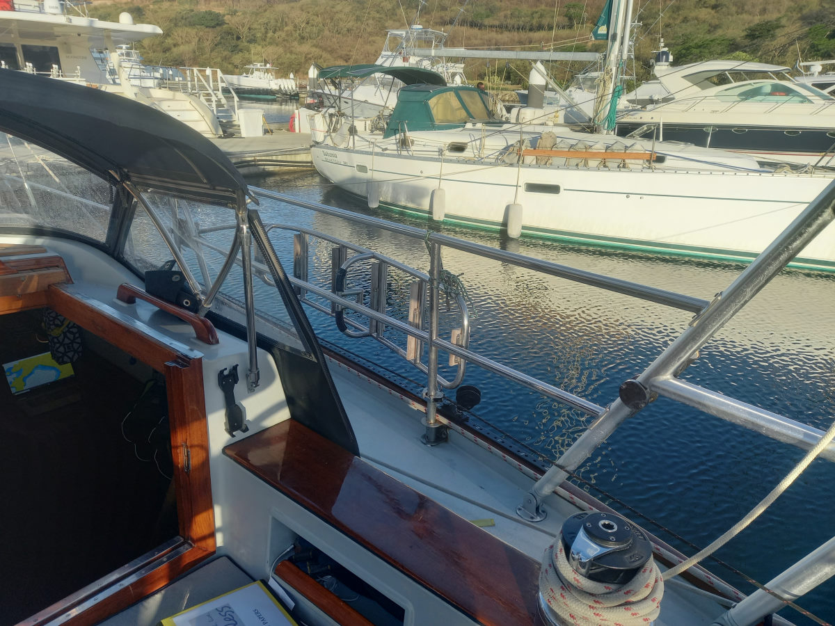
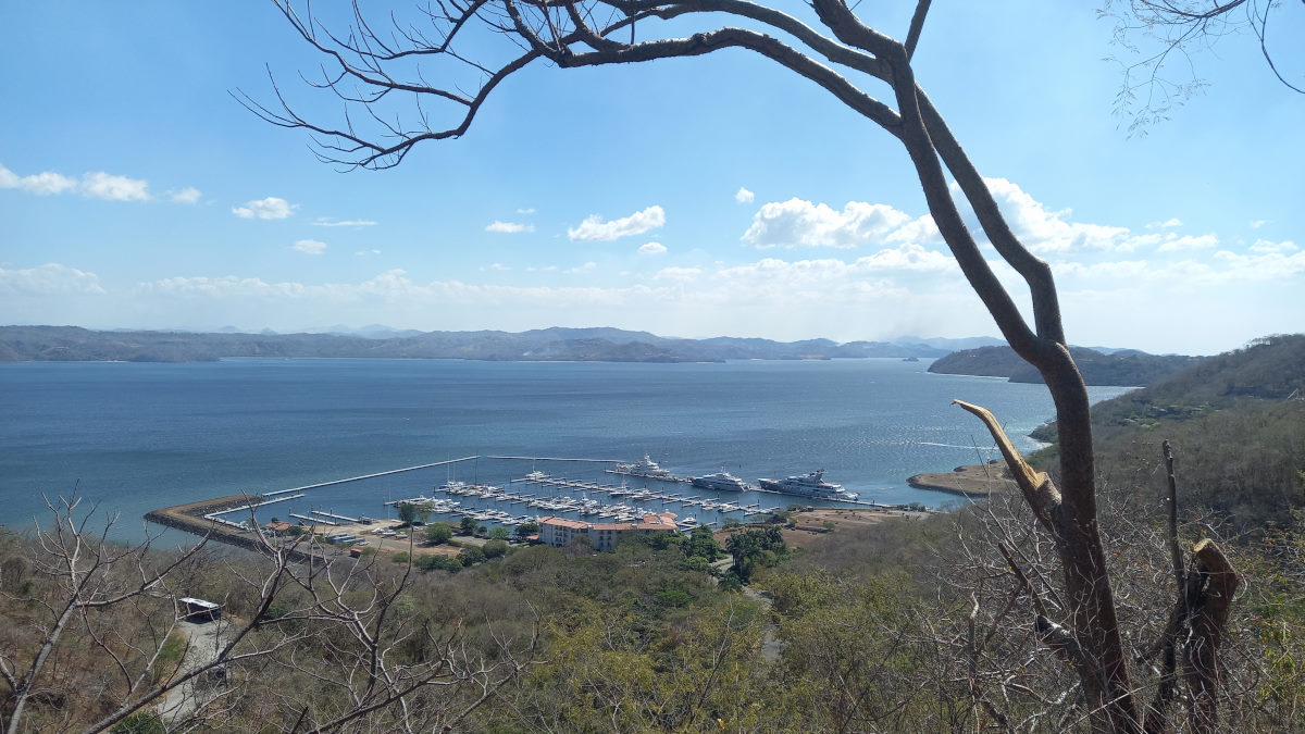
With the wind howling overnight – Colin saw 35 knots while sleeping (kind of) in the cockpit, we got up at 5am so that we could arrive at the Marina as soon as it opened at 6am and make the best of the few morning hours of relative calm. We were in good company … Bohemia arrived first, and Vagabundo Dos also left Iguanita to finally get into the Marina (they had abandoned plans to move in the previous day due to the wind} and there was also a mega yacht also looking to enter. We stood off for about 20 minutes outside the marina while they sorted out slips for us all.
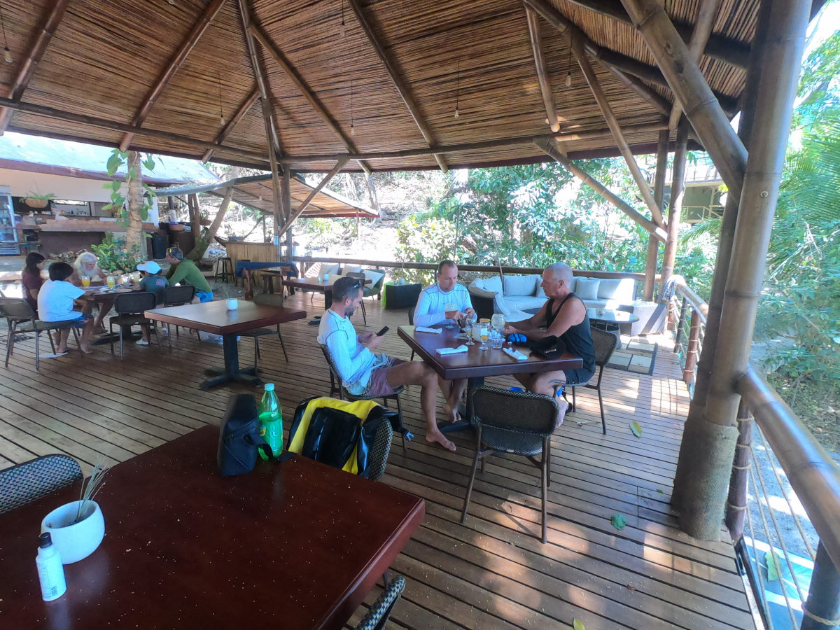
Finally tied up, we had our quarantine flag raised and under strict instructions not to leave the boat. Our agent (José) arrived around 8:30 and we met immigration officials up at the tables by the small marina store. Tom, I, and Grant from Vagabundo Dos had to take a trip with José to the Liberia Airport, about 40 minutes away to process our 90-day cruising permits to complete the process. We each paid $350 to the agent for the entire process. On the return to the marina José stopped at the grocery store and we bought a few basics. All done, we were checked into Costa Rica.
Taking advantage of the Panama Posse “stay for two nights and get one free” special, we indeed stayed three days, did laundry, cleaned the boat, and stretched our legs. Colin and I took a long walk one afternoon through the neighboring resort, got sort of lost, climbing steep roads up and down on our way back, and saw our first monkey up in a tree.
Marina Papagayo is ‘home base’ for Dietmar of the Panama Posse, and it was interesting to chat with him, and he arranged an impromptu Posse get-together for the few boats there.
Marina Papagayo to Coco Beach
| DATE: | 25 February, 2022 |
| DEPARTURE: | Marina Papagayo |
| DESTINATION: | Coco Beach |
| DESTINATION LAT/LONG: | 10°33.725 85°41.848W |
| TRIP: | 7.2nm |
| ENGINE HOURS (at Destination): | 870.15 |
We got up early and did a few last things before checking out of the marina, paying for both the Marina, and the fuel that we had got super early the previous morning before the wind started howling again. The idea was to get a start before this morning’s onslaught, but we left it a little late and when we got out of the Marina, we were immediately in 20+ knots. With only the jib out were made a fast sail down through Bahía de Culebra, that had taken us about three hours a few days earlier. Life is so much better downwind!
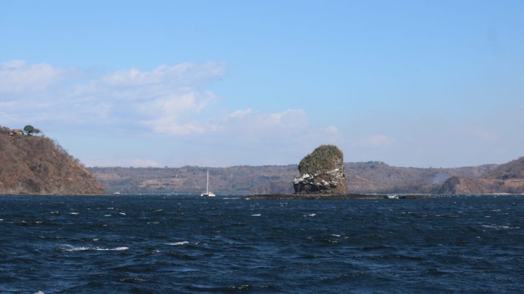
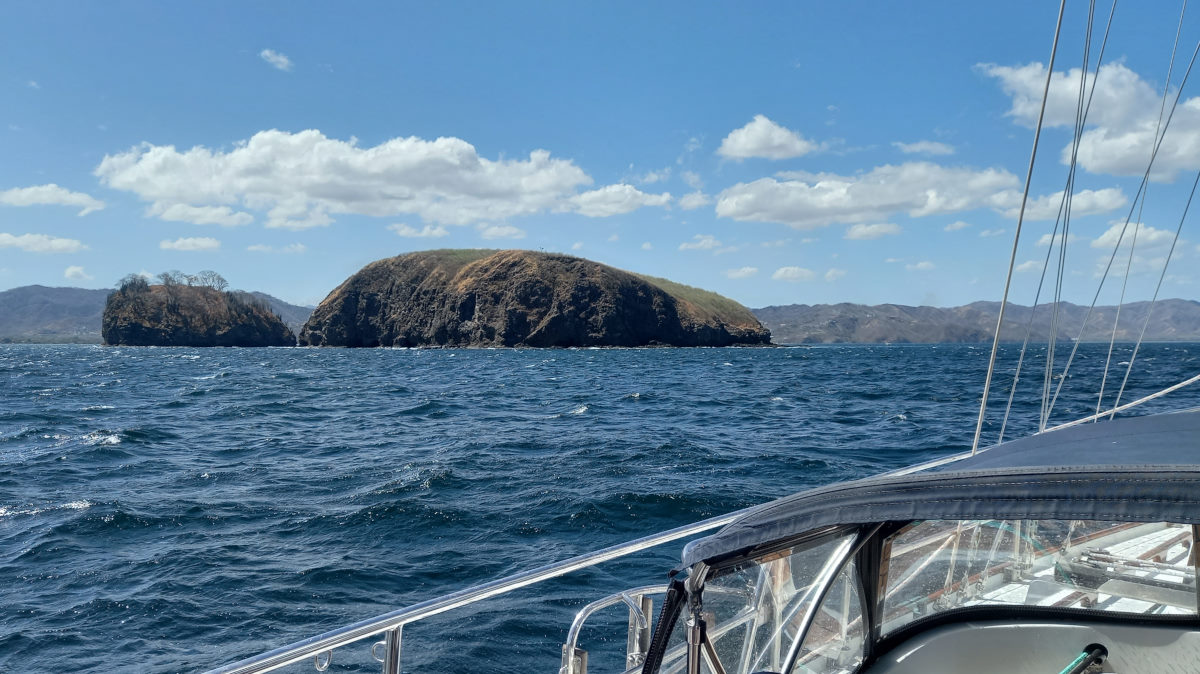
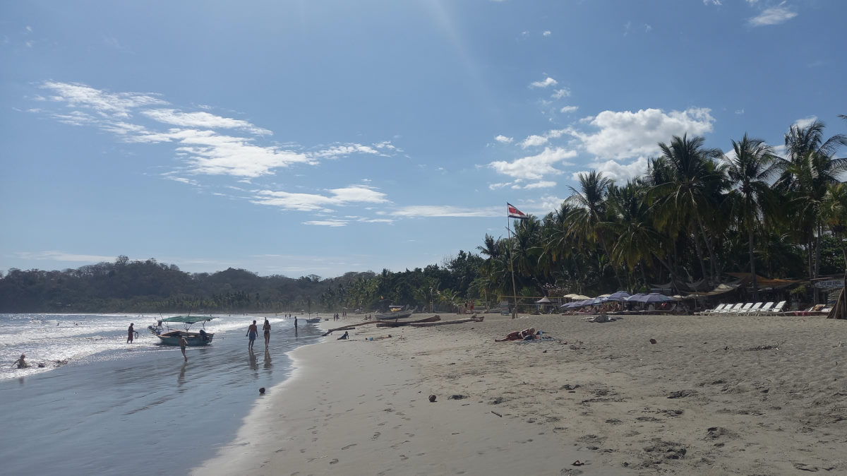
We rounded the striking Islas Pelonas, apparently a good spot for diving based on the boats hanging off the surrounding reef and entered the bay to see a large number of buoys and boats filling most of the area off the beach. Looking for an area to anchor we found space in only 35 feet of water and settled in that spot, with Bohemia taking a couple of drive-bys to find a comfortable location for themselves.
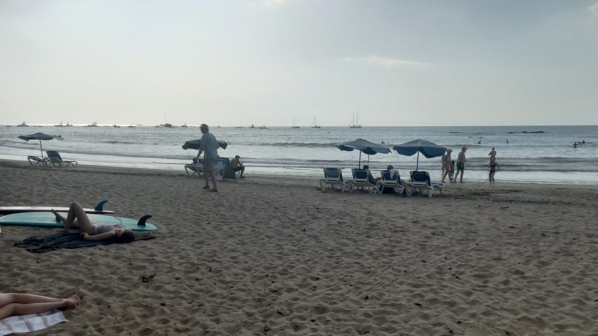
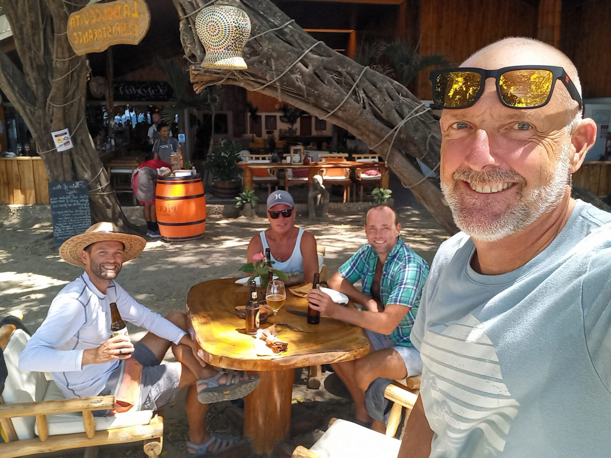
We tried in vain to find a water taxi, as the swell looked like a challenge, but the three numbers provided in the cruising resources all were of no help. Tom then launch Bohemia’s diminutive dinghy and found a local who guided us (taking tom and Peter in his Panga) to the best landing spot with Colin and I in our dinghy in pursuit. Locking the dinghy to a tree and giving a couple of bucks to the local massage ladies to keep an eye on it, we were free to check out the small town of Coco. Coco’s was quite a shock. Our first anchorage in populated Costa Rica and going ashore we found a surf town (Peter said it looked like Whistler without snow) full of relaxed and healthy young gringo tourists, with a number from Europe, based on the languages heard. Quite different to our experiences to date. Nevertheless, we took advantage of the beachside restaurant, paying $100 for the four of us for lunch. Ouch! Welcome to Costa Rica!
Coco to Guacamaya
| DATE: | 26 February, 2022 |
| DEPARTURE: | Coco Beach |
| DESTINATION: | Bahía Cuacamaya |
| DESTINATION LAT/LONG: | 10°31.259N 85°47.464W |
| TRIP: | 8.0nm |
| ENGINE HOURS (at Destination): | 871.1hrs |
We left Playa Cocos with just a short leg ahead of us, thinking it would be a consistent downwind sail. Initially the wind was good, and not having used the windvane much lately we set it up. However, the wind was super-fluky and changed direction, and our track looks the helmsman was drunk. Nevertheless, it was pleasant sailing that only got stronger after we rounded Punta Gorda.
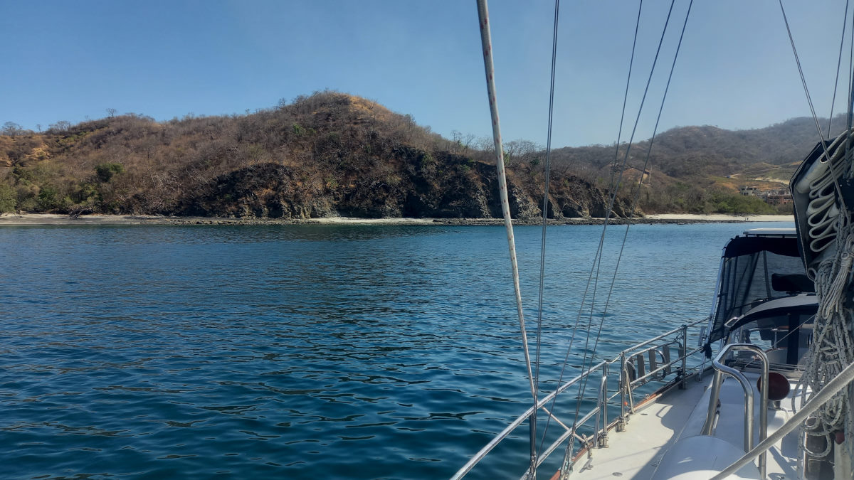
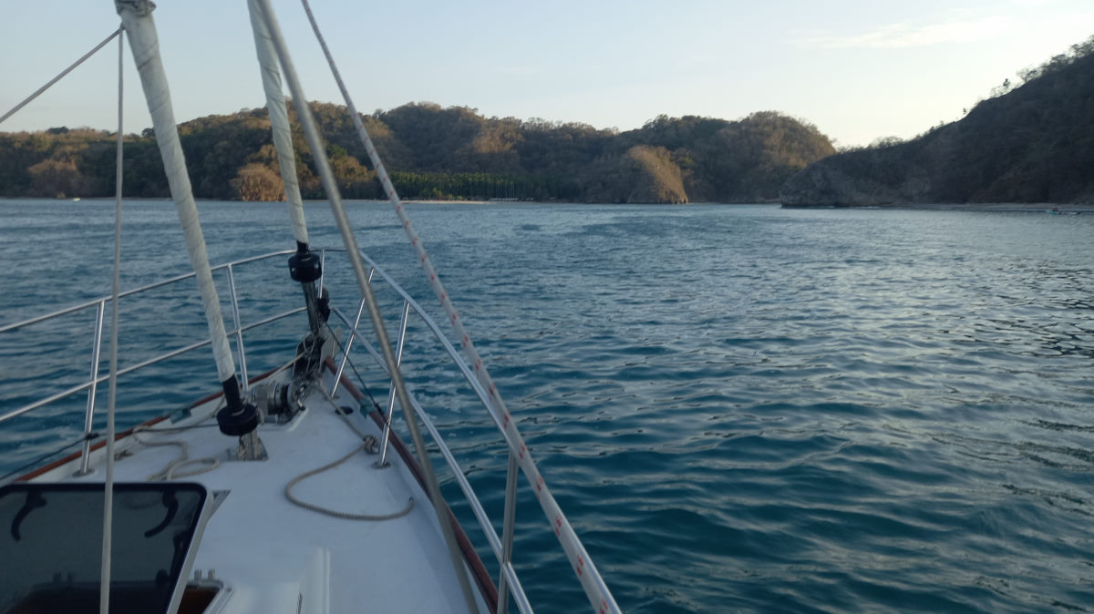
Entering Cuacamaya looked to be a bit tricky, especially as there appeared to be a discrepancy between the Navionics charts on the Zeus and the charts on Open CPN. There appeared on the charts to be a reef to the east that we needed to avoid, but as a number of tour boats came in later in the day, they were either unaware of the reef (unlikely), or we had been overcautious.
The Bay is very picturesque. There is one ‘settlement’ ashore consisting of a main house and what appears to be a couple of smart looking cabins or second homes. Tom and Peter on BOHEMIA went ashore and were stopped by a well-equipped security guard (wearing a bullet-proof vest no less) and were informed it was not a boutique resort, as we had previously thought, but a house belonging to a family. We took a couple of nice walks on the beach and into the woods. It’s definitely a very tranquil spot, except for the two hours in the afternoon when the catamarans arrive full of gringos on vacation.
Guacamaya to Pan de Azucar
| DATE: | 28 February, 2022 |
| DEPARTURE: | Bahía Guacamaya |
| DESTINATION: | Playa Pan de Azucar |
| DESTINATION LAT/LONG: | °N °W |
| TRIP: | 6.2 |
| ENGINE HOURS (at Destination): | 872.0 |
We pulled up anchor and started to follow our entry track out of the reef area of the bay, but as the chart showed we should be getting into deeper water, I was seeing shallower readings on the display. A quick reverse to stop the boat and looking over the side we could see rock under the boat (position 10 31.2653N 85 47.6746) about 5 feet under the keel, not where it was supposed to be. A quick course change and we were clear. Interestingly enough, we had seen a large mega-yacht (100+ feet) attempting to anchor in this area the day before, and after a bunch of maneuvering, it just gave up and left the area.
With that behind us, we set sail and with only a few miles to go, enjoyed a relaxing, mostly downwind sail, following the ‘safe water’ marks inside of Islas Brumel and into the large open Potrero Bay. Pan de Azucar, or more specifically Dantita Beach (smaller and to the north) and Danta Beach (larger and to the east) is a super pretty location. We took a pleasant trip to the beach at Dantita and planned to go to shore at Danta the following day, but after a night with much smoke blowing in from wild fires on shore, we opted to move on. The wild fires have been an interesting phenomenon here in Costa Rica, with differing reports as to whether they are intentional, or accidental. Regardless, they are many, and certainly out of control.
Pan de Azucar to Tamarindo (Chased away by smoke!)
| DATE: | 1st March, 2022 |
| DEPARTURE: | Playa Pan de Azucar |
| DESTINATION: | Tamarindo |
| DESTINATION LAT/LONG: | 10° 18.131N 85° 50.854W |
| TRIP: | 14.6nm |
| ENGINE HOURS (at Destination): | 873.2 |
Enjoying the prospect of another short hop, to Tamarindo (AKA Tamagringo), we left pretty Pan de Azucar and enjoyed a pleasant sail. Thinking we were finally leaving the Papagayo’s we left with full main for the first time in a while. The course today took us around Cabo Vela which is meant to be the lower edge of the Papagayos, but unfortunately the wind doesn’t always know that.
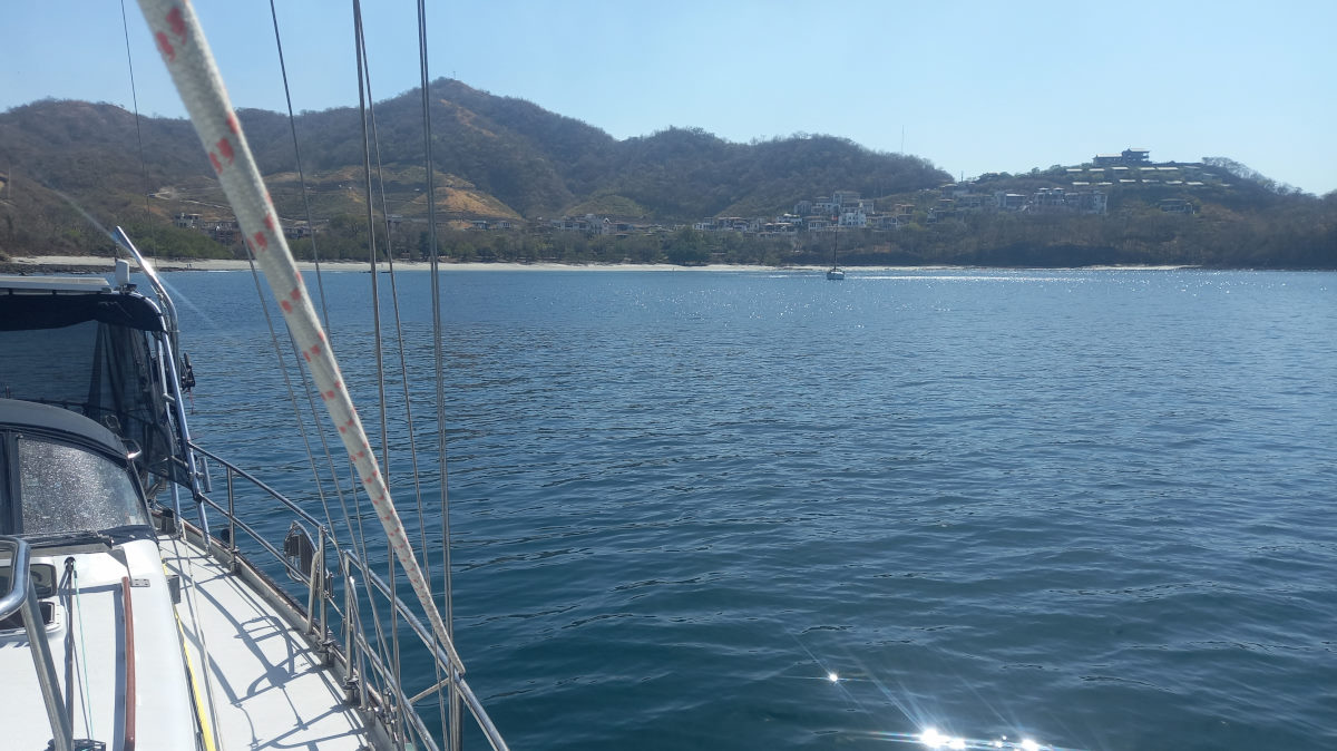
Entering Tamarindo, we found a spot on the edge of a mooring field between a big ‘pirate ship’ tour boat and a number of day-trip catamarans.
We dropped the dinghy and took a trip ashore, locking the dinghy to a tree. Interestingly enough, reports indicate we are more likely to get the dinghy stolen in relatively wealthy Costa Rica that in Mexico. A lunch later, we returned to the boats as the wind was increasing.
The intention was to go ashore again the following day and see more of this pretty (felt like California) surf town, but the wind in the night increased, and so did the swell and the surf, and going to shore looked like a wet challenge we were not excited to endure. We therefore spent the day on the boat, watching for a while as the ‘pirate ship’ next to us tied itself to a couple of moorings and one by one, dragged them to a new location, and then tied up to the two together.
This ‘Pirate’ boat provided further entertainment when it returned with a tour at sunset to then lose its engine and, as it appeared to be blowing down towards a reef, get rescued by the panga. All this watched from Bohemia as we enjoyed dinner on board, ready to make a departure from there early in the morning.
Tamarindo to Samara
| DATE: | 3 March, 2022 |
| DEPARTURE: | Bahía Tamarindo |
| DESTINATION: | Bahía Samara |
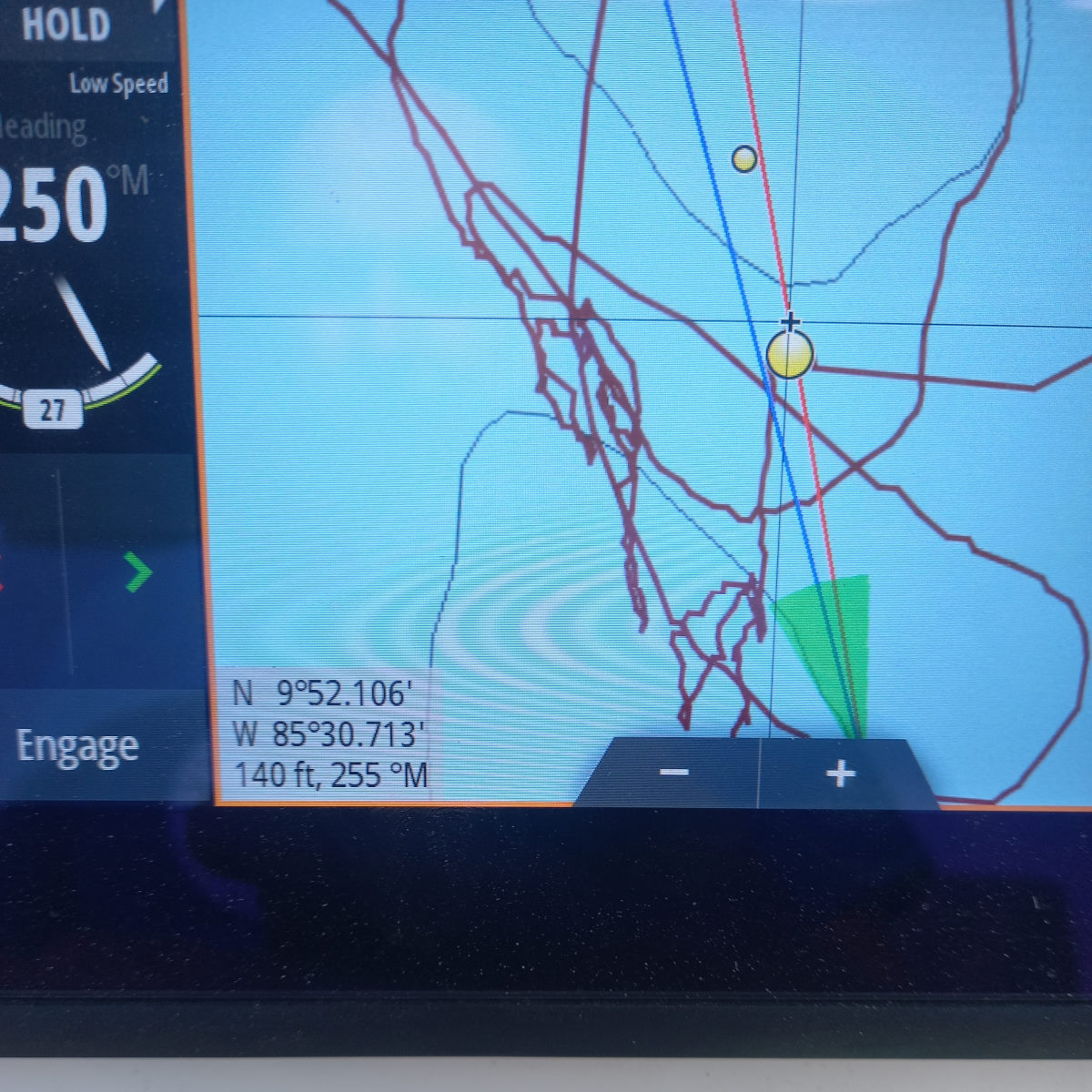
| DESTINATION LAT/LONG: | 09° 52.106N 85° 30.713W |
| TRIP: | 45.2 |
| ENGINE HOURS (at Destination): | 875.44 |
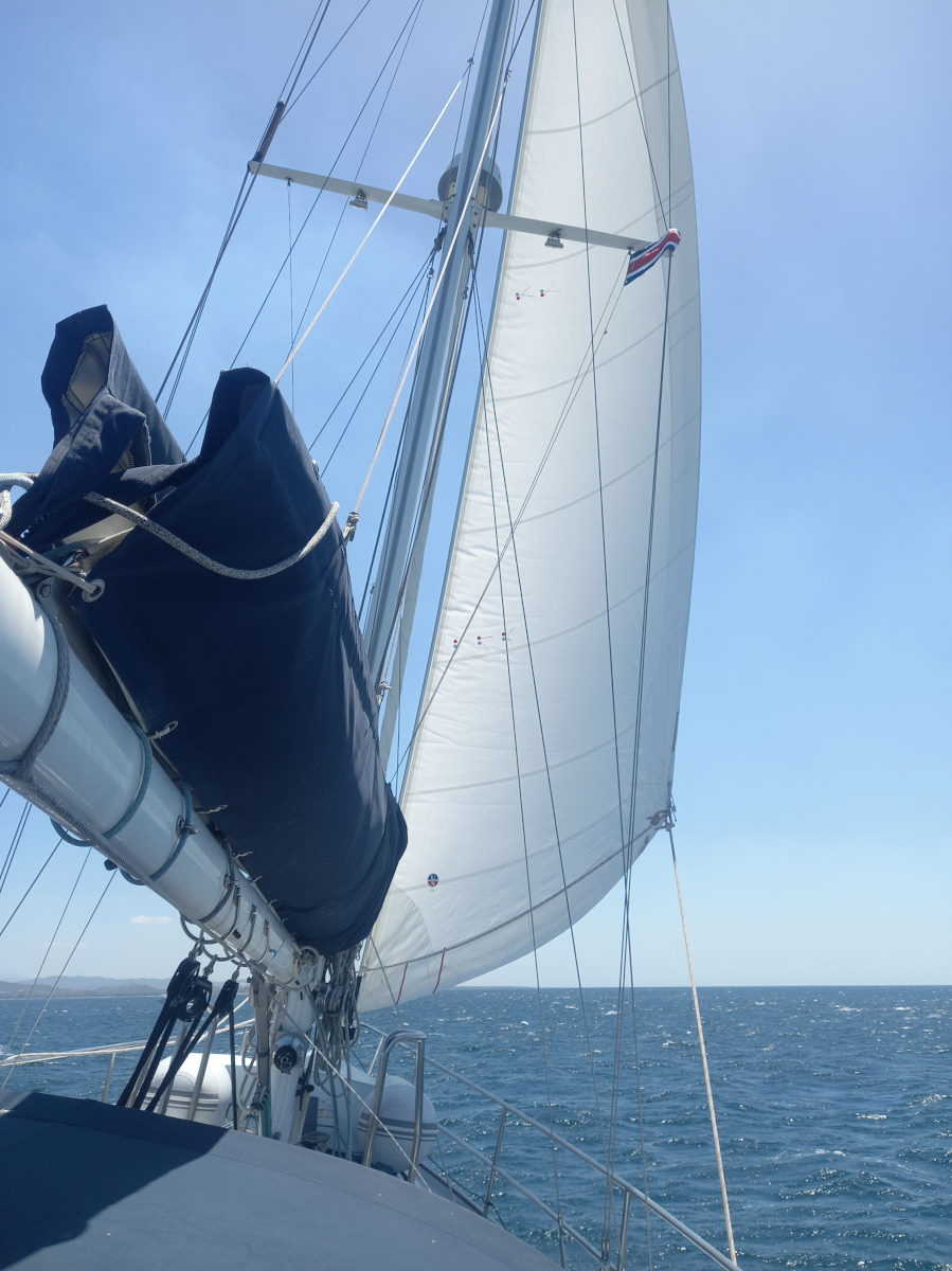
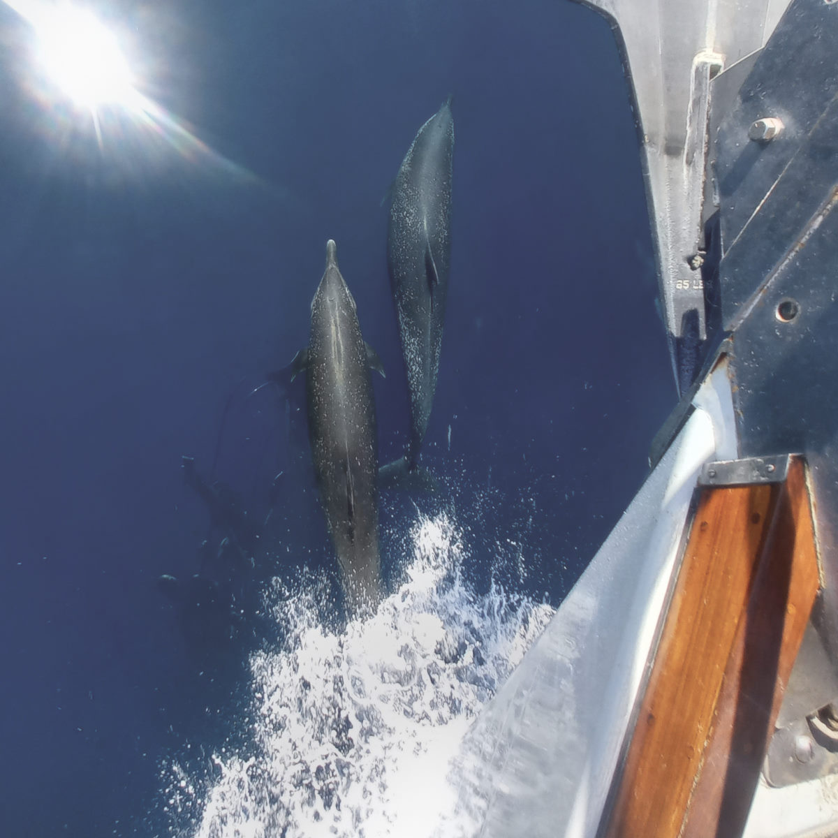
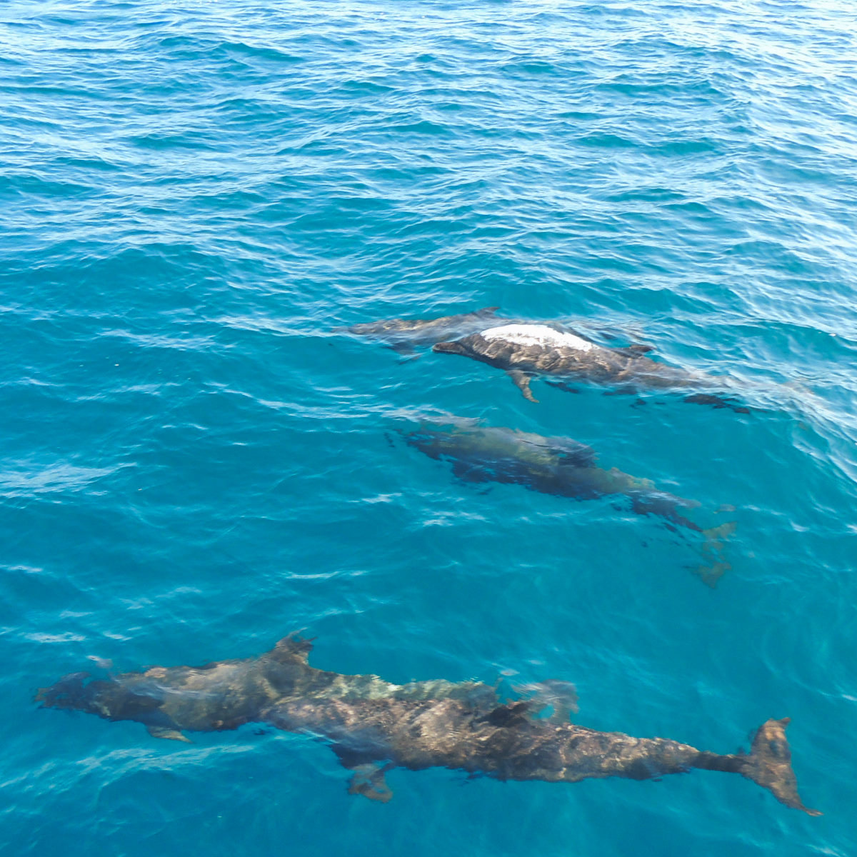
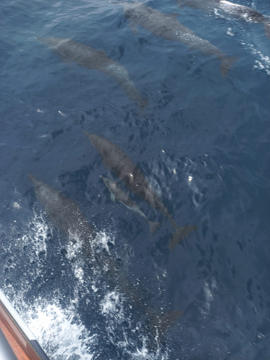
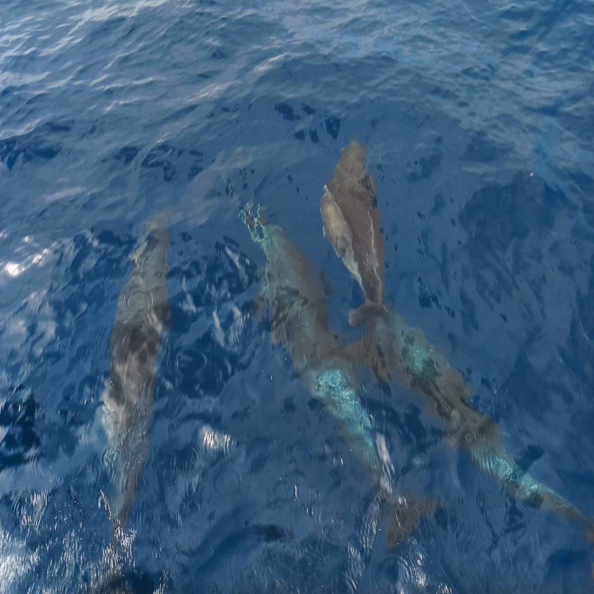
Good sailing – nice wind leaving Tamarindo that built to 22 sustained and gusts higher. Colin had washed down the dodger windows and some of the stainless as we left and, of course, that was all in vain. The wind got lighter in the afternoon, and the sailing was good. Lots of dolphins all days and some of them of the sportier variety.
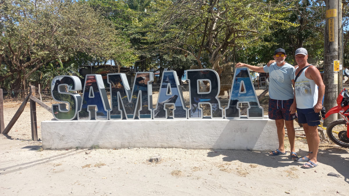
The entrance to Samara looks a little tricky, but we tracked a Catamaran that entered before us, and with Bohemia going ahead, the entrance between a rocky island and a substantial reef was pretty easy. The Catamaran had anchored in the center of the Bay, and Vagabundo Dos also being there along with a number of smaller fishing boats made finding an anchor spot a little tricky. The whole anchoring area is around 20′ deep, and the reef off to one side is threatening, so a few passes were made and one -re-anchor before we were settled.
Unfortunately, despite our conviction that we were now officially out of the Papagayo winds, it got gusty (to 30) in the night, and Colin slept in the cockpit, for a while watching his anchor alarm, that reef did not sound that far away!
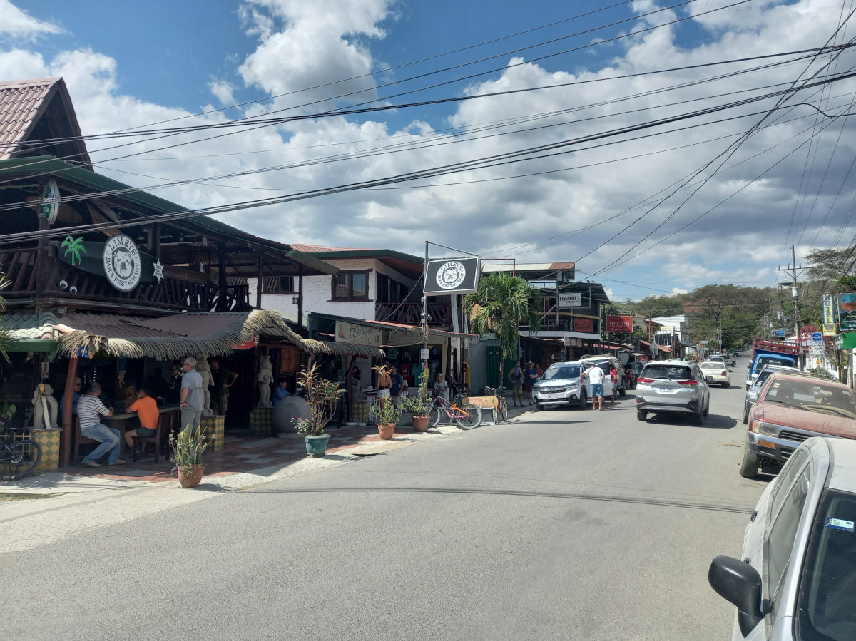
The next day we took the dinghy to shore and walked with Tom and Peter along the beach to the ‘town end’. This is a very pleasant surf town, full of younger gringo types from all over. We had a nice lunch in a beachside restaurant (seared tuna in sesame seeds … we are not in Mexico any more) while watching the wind whip up again. We returned to the boats rolling around and jumped in to clean the boat speed log and check the prop.
With the rolling continuing, we received the now customary ‘let’s leave in the morning’ message from Bohemia.

Samara to Playa Tambor
| DATE: | 5 March, 2022 |
| DEPARTURE: | Bahía Samara |
| DESTINATION: | Bahía Ballena, Playa Tambor |
| DESTINATION LAT/LONG: | 09° 43.052N 085° 00.616W |
| TRIP: | 50.3 |
| ENGINE HOURS (at Destination): | 881.14 |
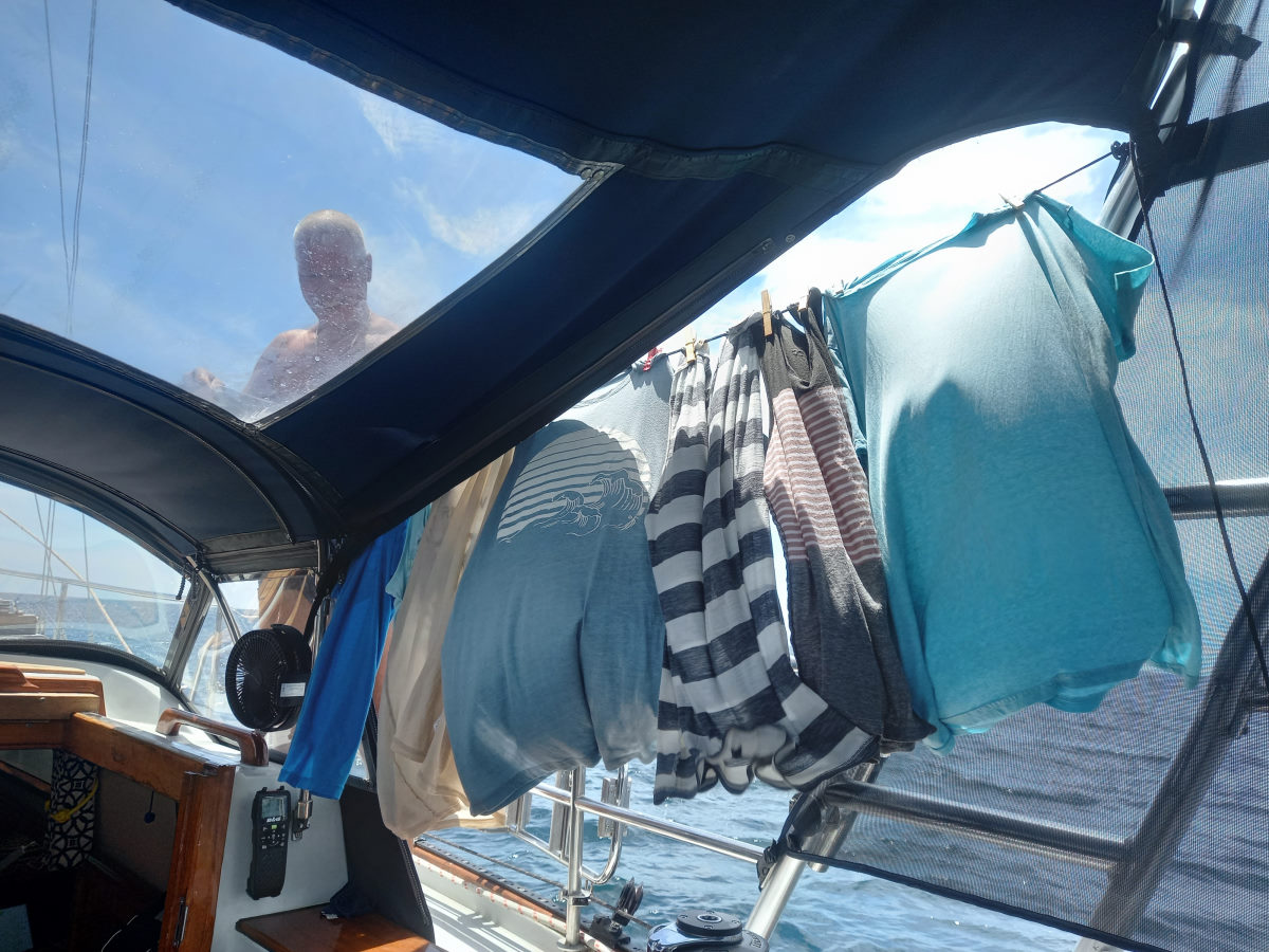
This leg started out promising with a gentle breeze enough to sail in, but then it died, and came back ‘on the nose for the section towards Cabo Blanco. Colin made water as we motored and also did a load of laundry, hanging it out on a line blowing in the rising breeze. Visited by a pair of dolphins we could see how crystal clear the water was.
We rounded the impressive Cabo Blanco, opting to go out around the island, as opposed to the inside route as the binoculars showed breaking surf almost entirely across the gap. Bearing away around the island the engine was off and we had a very pleasant downwind sail towards Ballena, switching for the last section to wing-on-wing, with the jib poled out.
Ballena (Playa Tambor) is a huge bay with an rustic fishing village off the south end, and we chose to anchor there given the fairly substantial southerly swell, and the forecast for fairly light wind overnight.
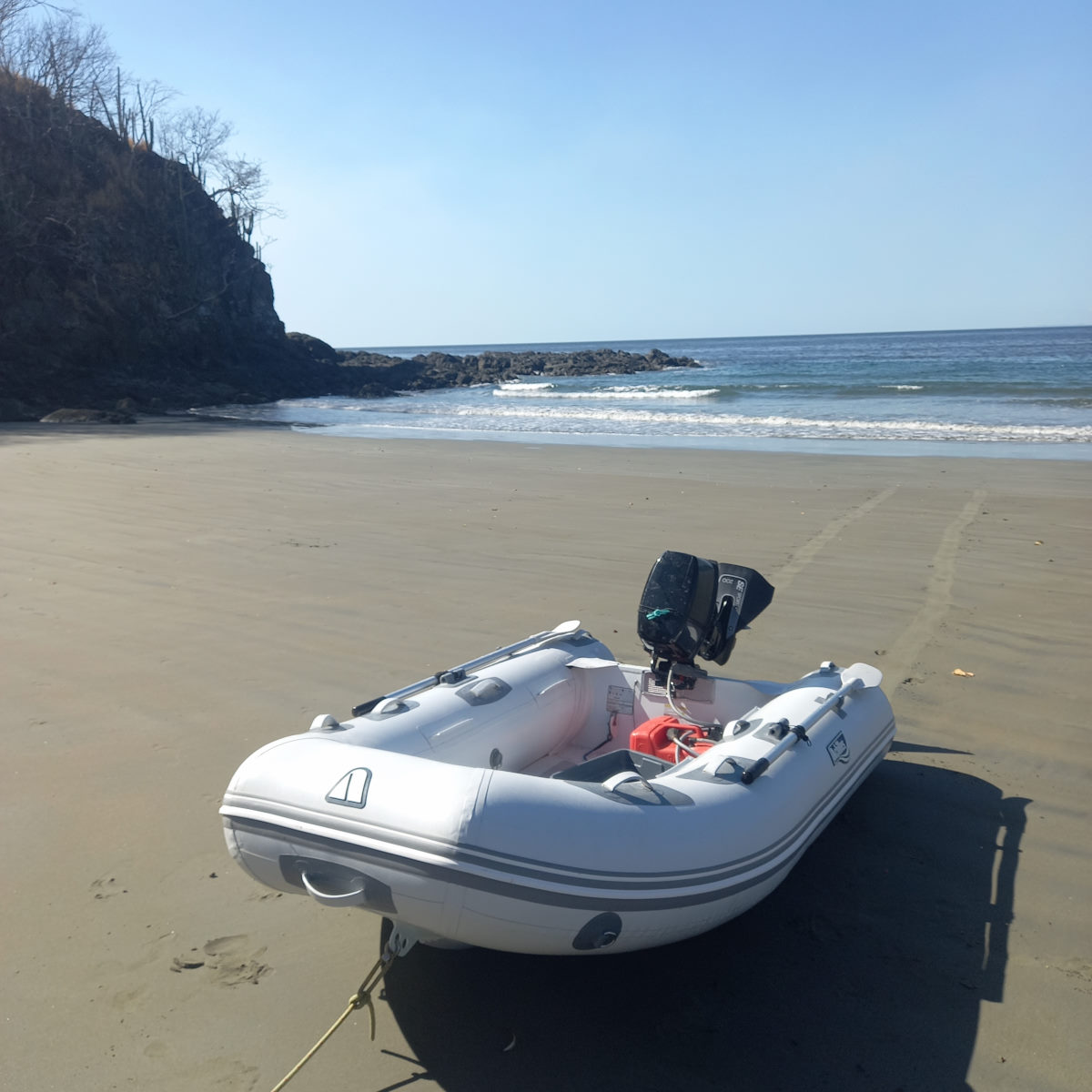
We had planned to leave Ballena the previous day but took a trip to check out the estuary at the north end of the Bay in the morning. Bohemia were looking to answer the eternal question as to whether their woefully inadequate mini-dinghy with an 8 hp motor on the back would go faster that a regular RIB with an 8hp motor (i.e. us). The race was on but given there were two of us in each dinghy, Bohemia couldn’t actually get on a plane, and the race was over before it was started.
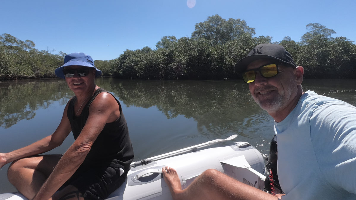
We negotiated the entrance to the estuary bar, and made a note not to stay too long, with only a couple of feet depth in places, and a healthy outflow of water. We got into the wider and deeper mangrove area, and Bohemia flew their drone, and we left before we were forced to walk out. Leaving the estuary, we went to investigate the pristine white sand beach close by, and we stumbled upon a ‘glamping’ setup in the trees behind the beach, complete with restaurant. Playa de Vivos was quite spectacular with seven camping platforms in various stages of ‘glamp, and we spent time sharing the restaurant with the resort owner (a veritable Robinson Crusoe type) who was teaching some kids who had arrived by panga. Definitely a few stories there … one can only imagine! By the time we had enjoyed a lunch and the beach some more, it was an easy decision to delay the departure for Tortugas until the morning.
Playa Tambor (Ballena) to Isla Tortuga
| DATE: | 9 March, 2022 |
| DEPARTURE: | Bahía Ballena |
| DESTINATION: | Isla Tortuga |
| DESTINATION LAT/LONG: | 09° 46.812N 84° 53.770W |
| TRIP: | 10.4 |
| ENGINE HOURS (at Destination): | 883.5 |
Bohemia raised their anchor early and left to make water away from the red tide in the anchorage. As we went to raise the anchor, large swells started rolling in, lifting the bow and then dumping us into the troughs. The depth meter was working to keep up and one wave alone went from 21 feet to 25.4 feet. We motored out and with light wind, and the water maker going, we motored free of Ballena and north towards Islas Tortugas, enjoying the big rolling seas. The water making, however was abruptly stopped as we entered a wave of red tide.
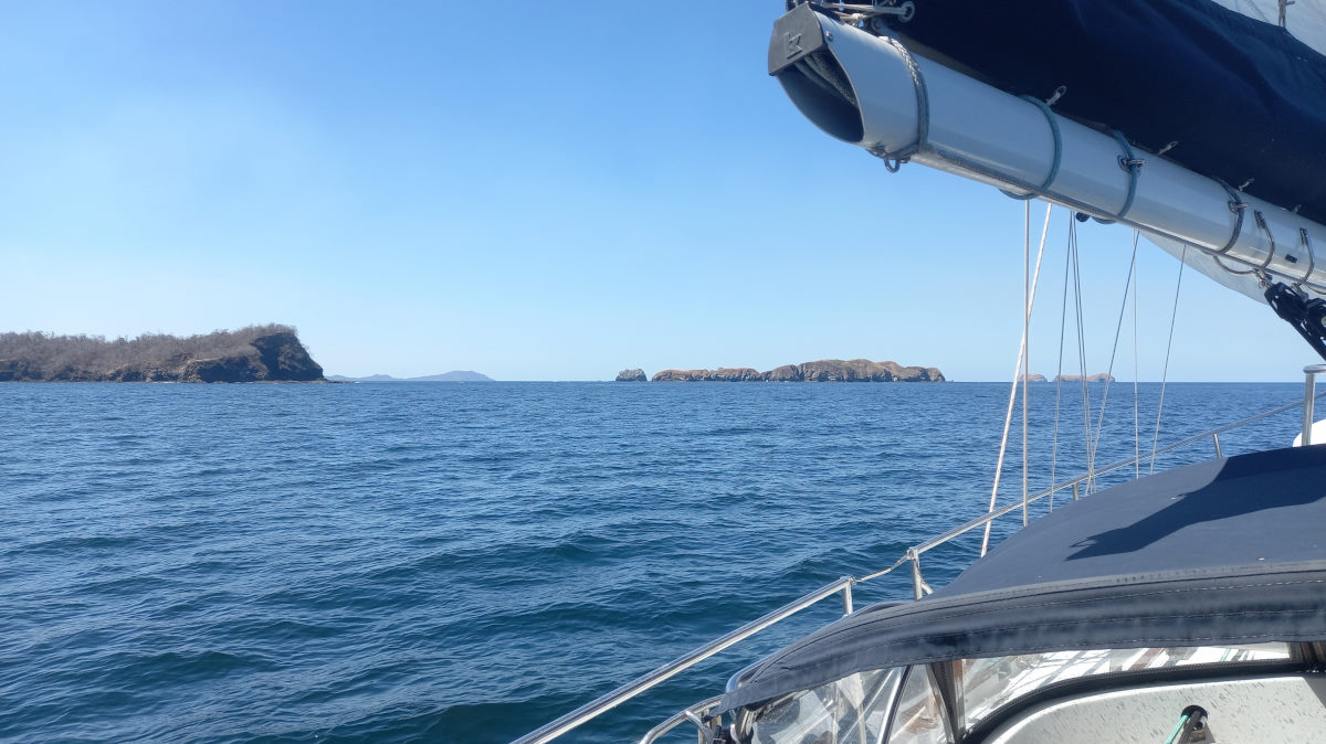
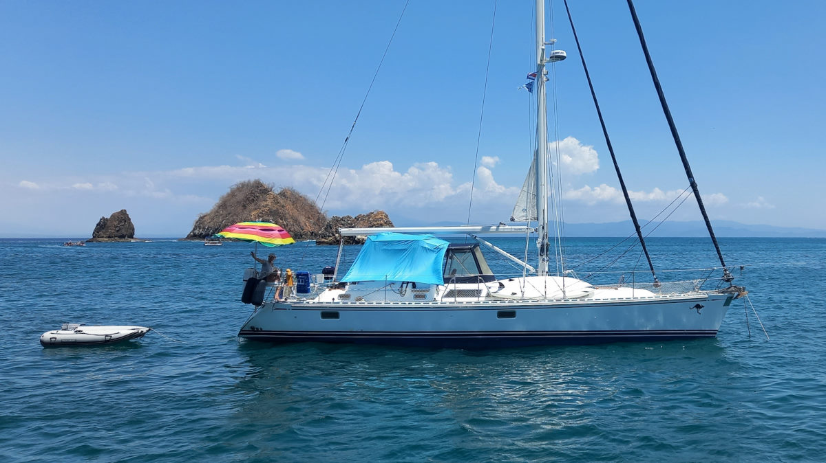
Approaching Tortugas, the scenery is dramatic, and highlighted by the big swell creating crashing ways on the Island rocky shore, and quite a spectacle of the shallow gap between the two islands. We entered the anchoring area from the east side of Isla Alcatraz and found a spot., bearing in mind the tides are beginning to be a significant issue with a range of over 7 feet.
All settled and with Bohemia having arrived we went to investigate the busy but beautiful white sand beach backed by palms on Isla Tortinga, and after a couple of attempts at getting to the beach in the dinghy but being surprised by swell and waves (some breaking) we tied the dinghy to a buoy and swam ashore. We arrived just in time for a Coco Loco, and to watch the tourist exodus.
Back in the dinghy, we recognized the sailboat entering the bay as MATILDA (Matt & Fiona) and went to say hello. A Good dinner (A good Chinese for which Peter gets the award in our recent Asian food series).
A rolly night!
Tortuga to Herradura
| DATE: | 10 March, 2022 |
| DEPARTURE: | Isla Tortuga |
| DESTINATION: | Bahía Herradura |
| DESTINATION LAT/LONG: | 09° 38.387N 084° 39.508W |
| TRIP: | 17.7 |
| ENGINE HOURS (at Destination): | 884.27 |
We had a lazy, rolly morning, swimming a bit, and then changing out the tiny (and quickly eroding) node at the end of the prop. I also cleaned out the through-hull fittings, realizing that some were quite occluded. (Note: The head worked better after this, we thought it might need a joker valve service).
Finally, we said goodbye to Peter and Tom, our buddy boat since Huatulco, and a drive-by goodbye to Matilda, and after getting clear of the anchor area, put the sails up in a pleasant 9 knots of wind, and sailed nicely clear of the impressive spires at the east end of the Islas Tortugas. Out in the Golfo we enjoyed the freshening breeze and huge rolling swells giving us a great sail across to Herradura, spoiled only by the red tide, thick in places and completely clear in others, often with a distinct line marking the change.
The engine went on only when we were well inside Herradura – this is how sailing is supposed to be – and we motored over to the southern side of the bay, away from the entrance to the Los Sueños Marina, home to (exclusively) sport fishing boats – no sailboats welcome – and anchored in 30 feet in some of the calmest conditions we have seen for a long time. Shortly after a ‘safe-passage-beer’, Vagabundo Dos (Grant and Donna) joined us at anchor, and then we found ourselves surrounded by no less than 25 paddleboards and kayaks on a sunset cruise.
Herradura looks very pretty, and as this stop was intended just as a stop-over on our way to Quepos, we had no intention of going ashore, but it appears to have some interesting shore-side activity including a few restaurants (according to one of the paddleboarders El Pelicano is a good one). We’ll have to come back.
Herradura to Quepos
| DATE: | 11 March, 2022 |
| DEPARTURE: | Bahía Herradura |
| DESTINATION: | Marina Pez Vela, Quepos |
| DESTINATION LAT/LONG: | 09° 25.680N 84° 10.141W |
| TRIP: | 36.3 |
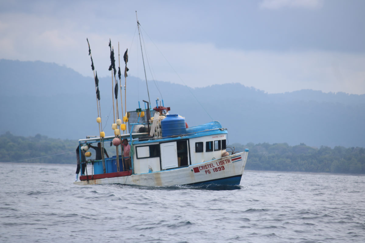
After the calmest, least rolly night we had experienced in a month or so, we headed out of the bay taking the southern route around the major rock hazard and followed a Costa Rican fishing boat into deep water before taking a left hand turn down the coast. The fishing boats in Costa Rica have quite a different look to those Mexico and the countries in between, and most are partly covered with an inside ‘cabin’ despite being effectively the same ‘panga’ base boat. Although they are colored unlike the Mexican ubiquitous blue, they are not as elaborately decorated as those we saw in Honduras.
With light wind well ahead of the beam we motored to Punta Judas where we could bear off and sail a course towards Quepos. After maneuvering around more fishing boats and avoiding some long lines, we started to anticipate getting to the Marina. It is strange how, after not being in a marina for a while, we’ll start to get everything ready about 4 miles away, whereas when we were based in a marina, putting out lines and fenders is something done in the last five minutes before the dock.
We were met at the marina entrance by dock hands in a dinghy and guided to the out assigned spot, but a last-minute switch meant backing into the slip. Marina Paz Vela in principally a sport fishing boat destination and as one of just 6 sailboats in the marina, and the only one that looked remotely like a liveaboard cruiser, we definitely felt a bit ‘different’. A quick tidy up and off to explore Quepos and find some dinner.
While in Quepos
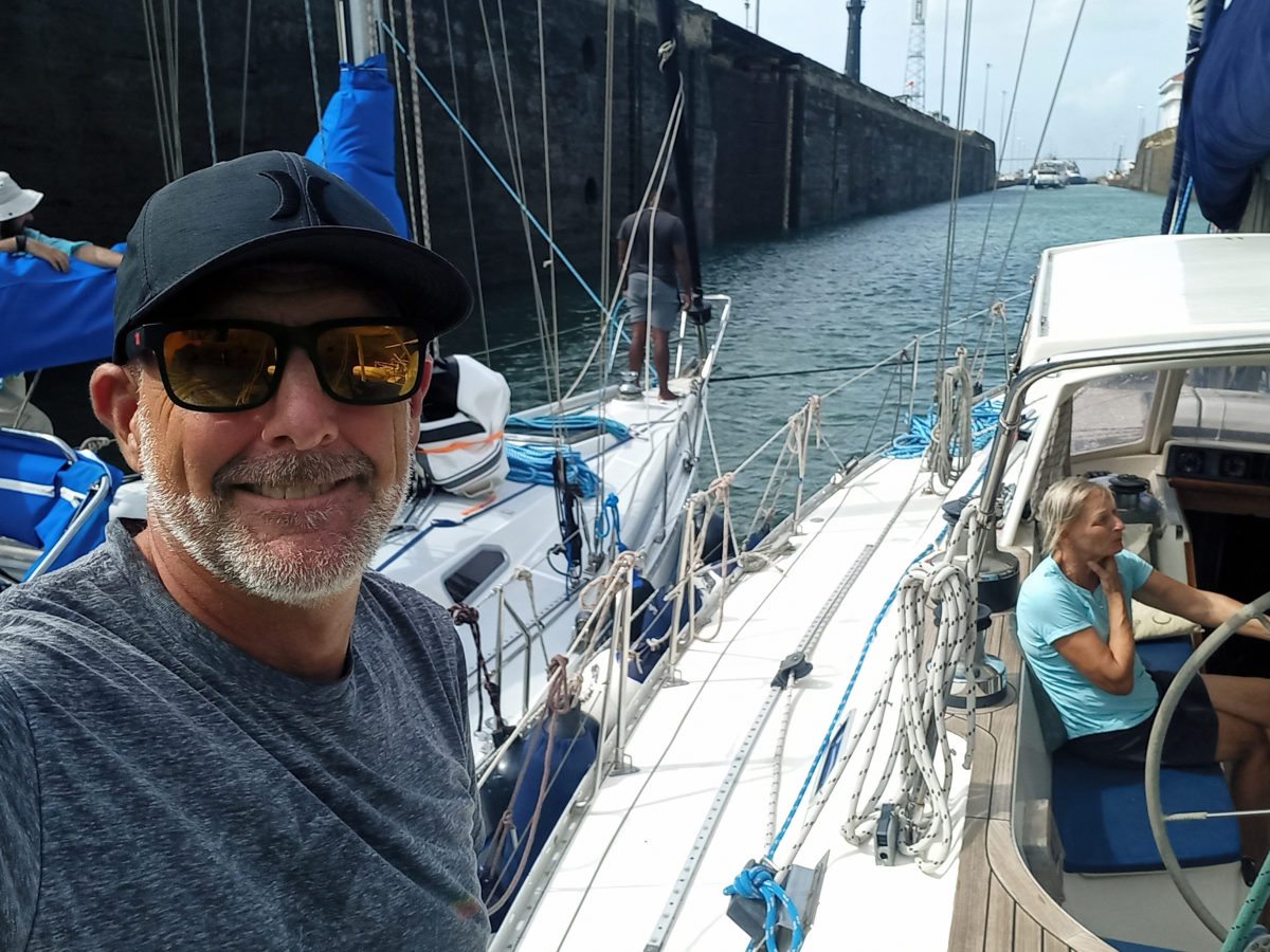
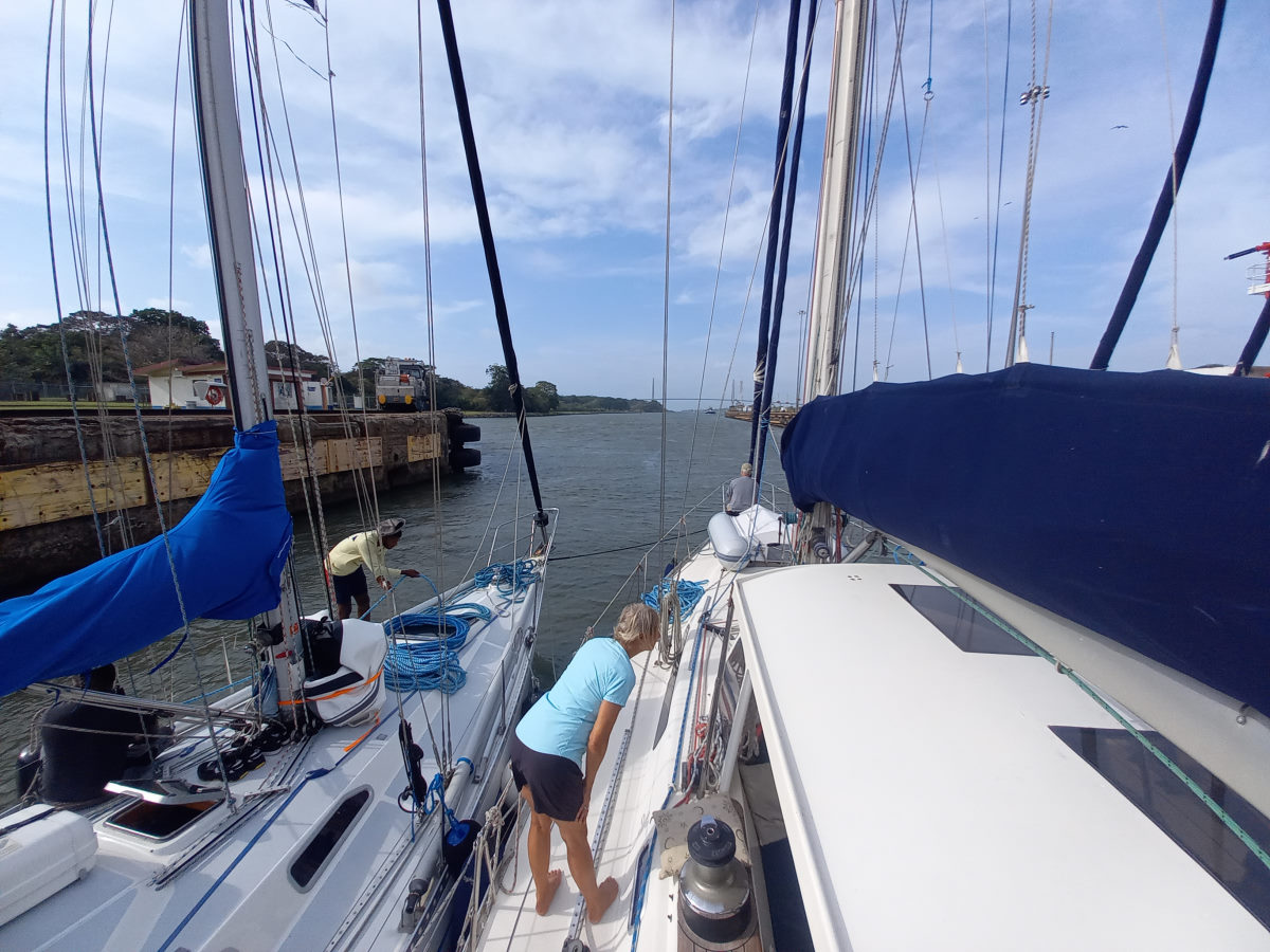
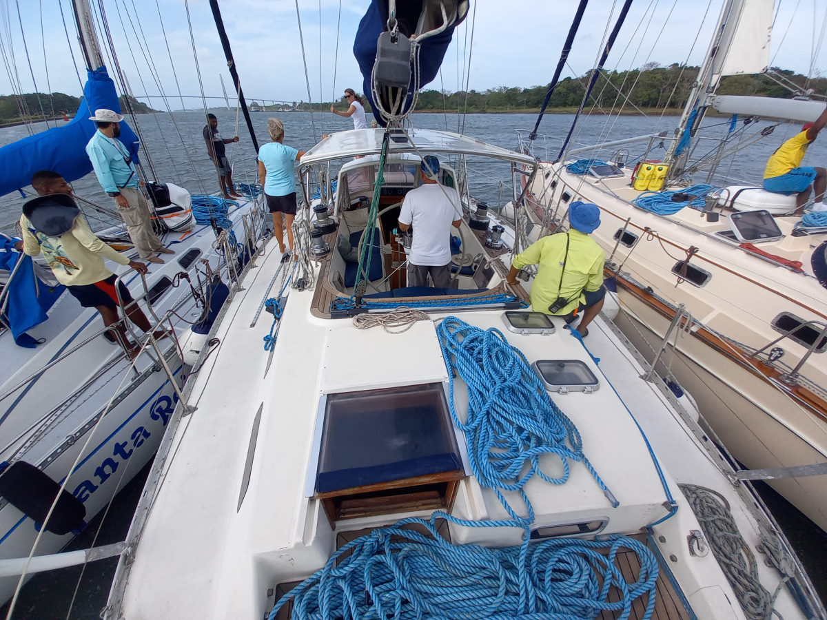
Canal transit on CONVERSATIONS
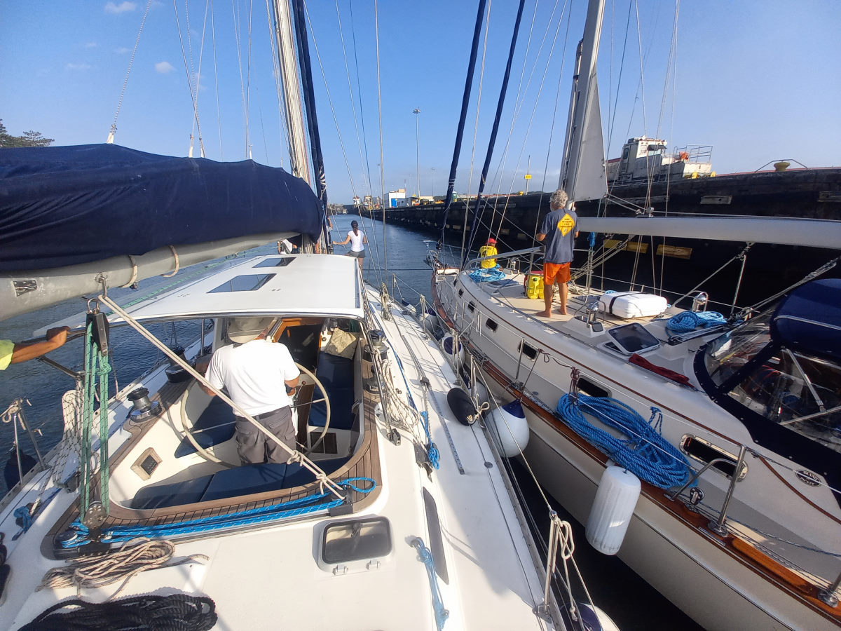
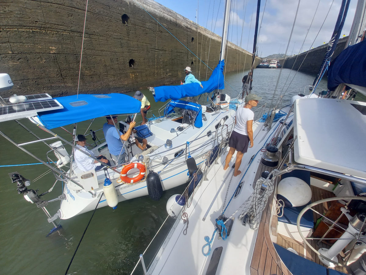
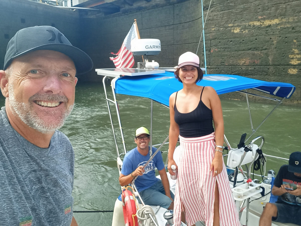
We were to stay in Marina Pez Vela for over two weeks. The stay here in Quepos had been very convenient as it had allowed us to get away from the boat, Colin to make a trip to California, and me to go to Panama to help Cress and Irene on CONVERSATIONS through the Canal. This was a great ‘dry run’ for our own canal transit later this year.

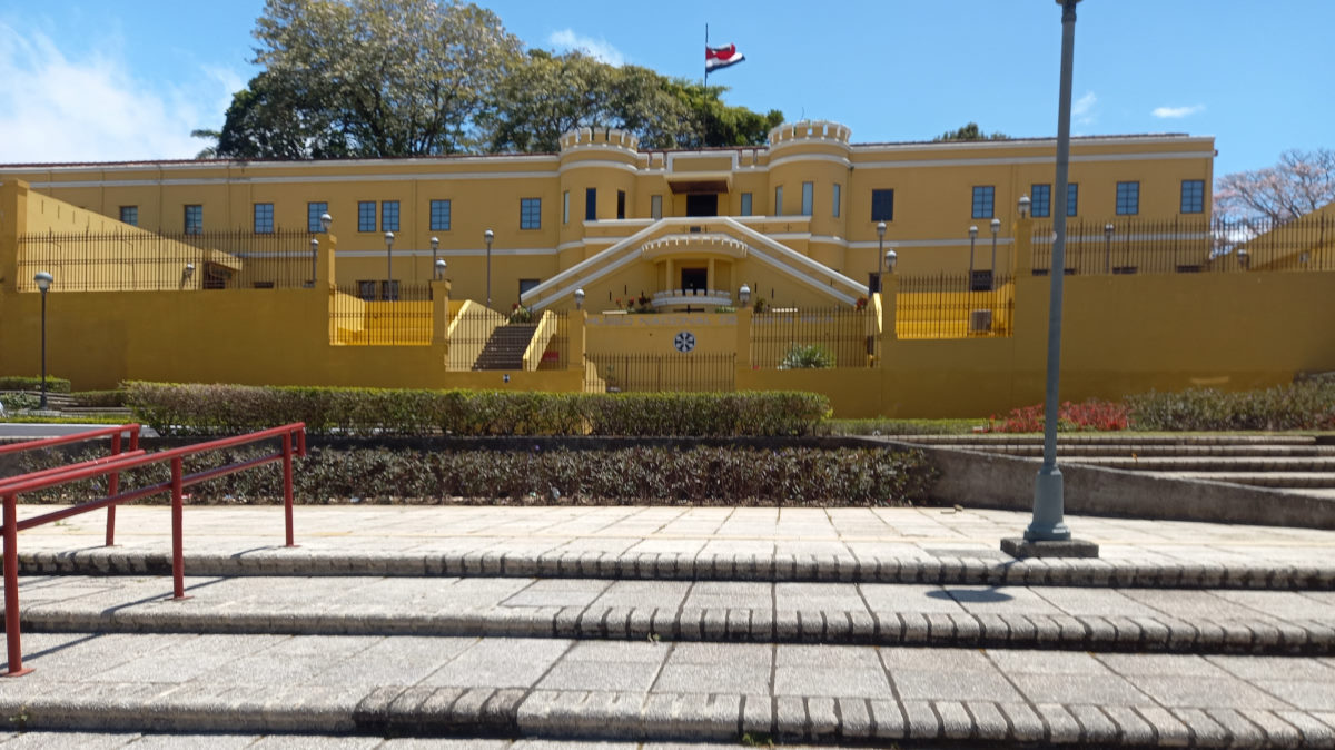
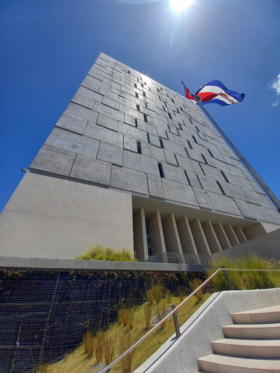
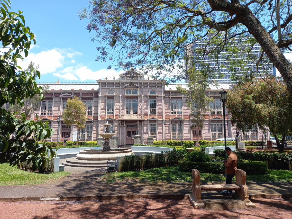
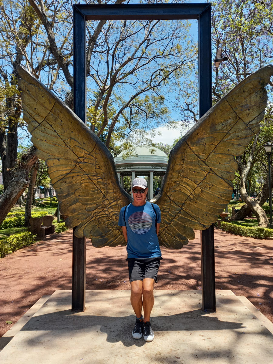
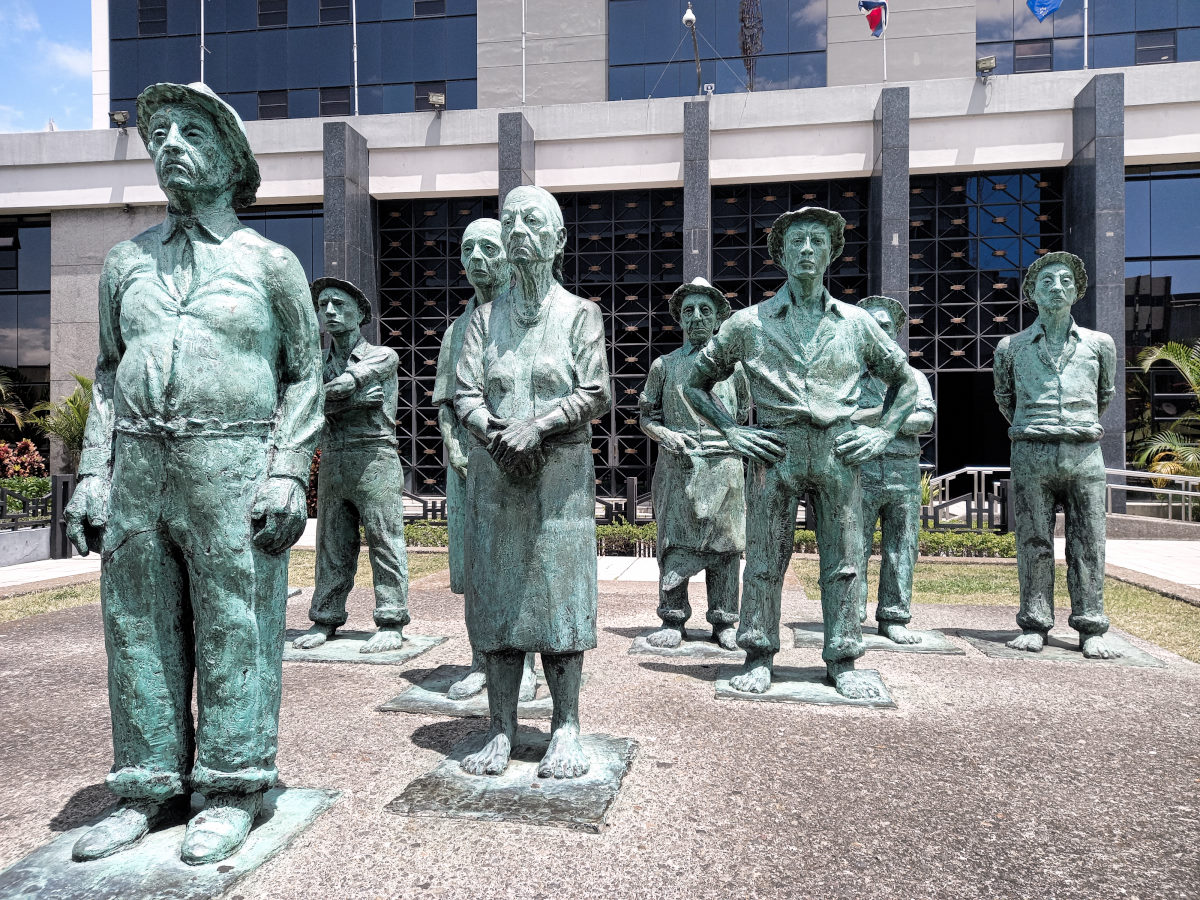
San José
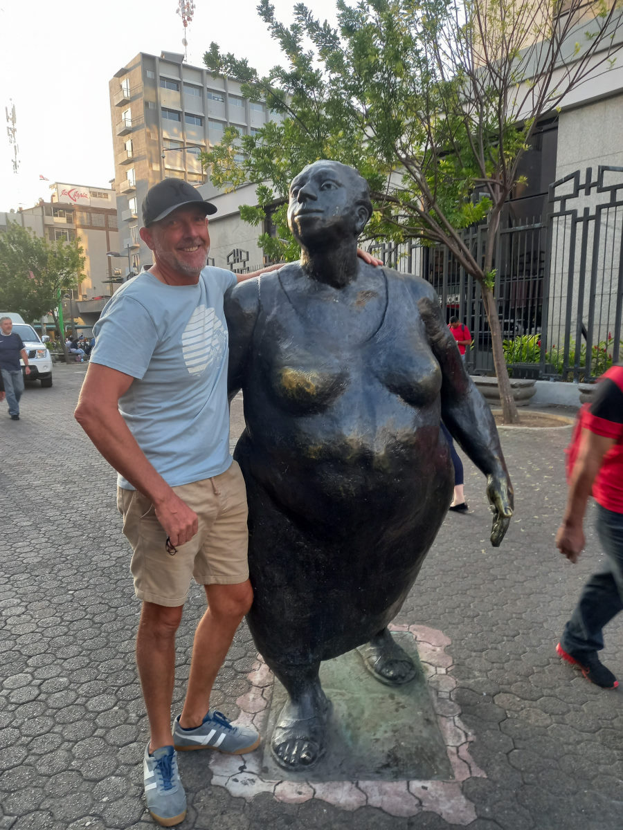
Returning from our respective destinations, Colin and I met in the San Jose Airport, and left for a couple of days exploration in the city of San José. During our time in Costa Rica, we had been struggling to identify the true culture of the country, which we had attributed partly to the fact that we had been visiting tourist focused areas. Although we had heard that San José was not a large city in comparison to other capitals, we thought a visit would provide us with a better insight into the history and culture. We did spend a morning at the Museo Nacional, and this gave a good insight into the country’s history, and an understanding of the values on the socialist principles and respect for the enormously rich environment, however we struggled to find heritage architecture, traditional food, or an obvious national identity.
Manuel Antonio Parque
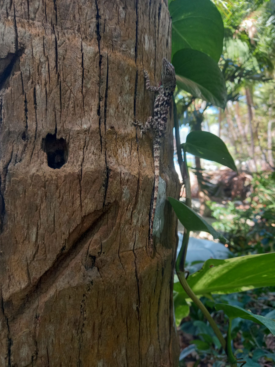
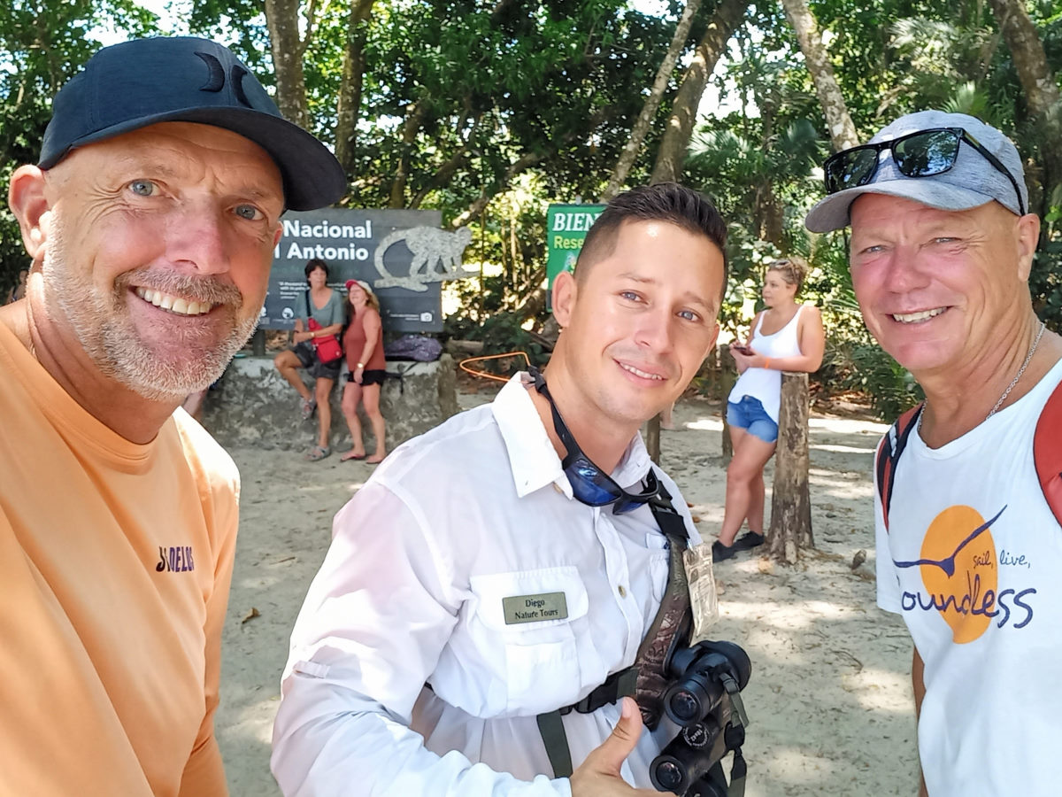
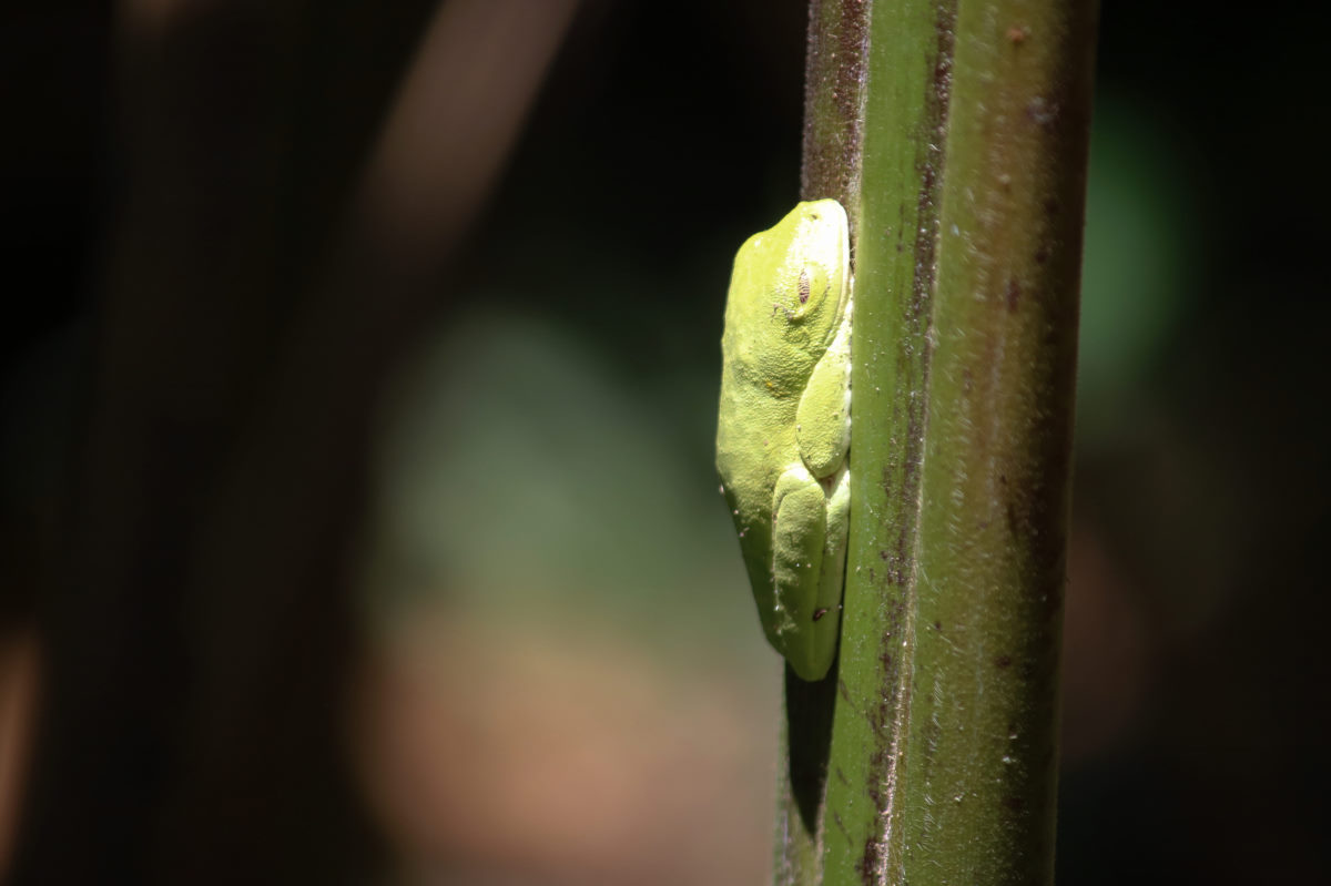
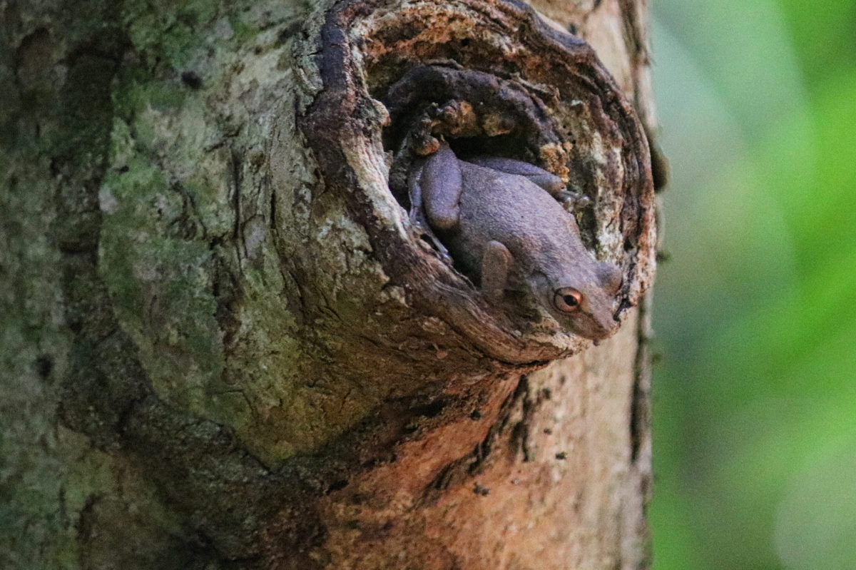
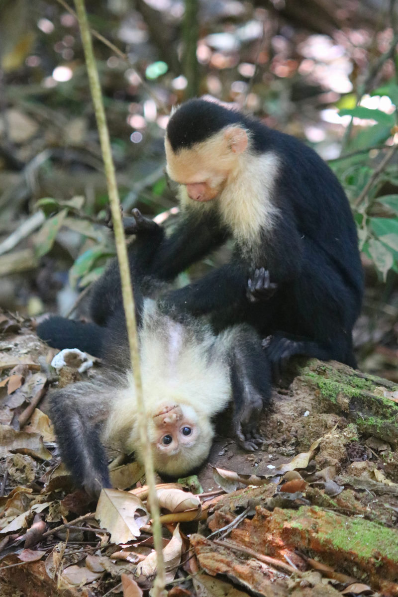
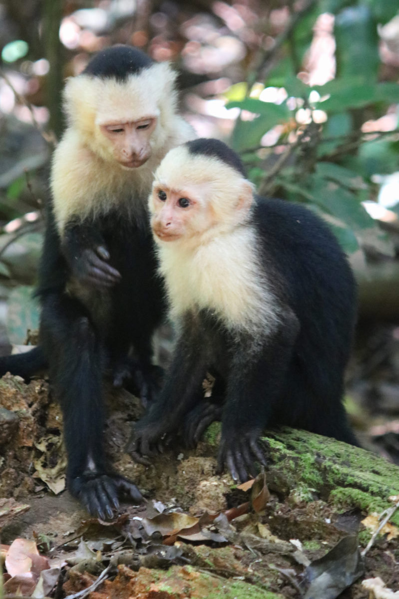
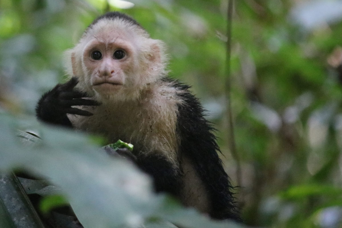
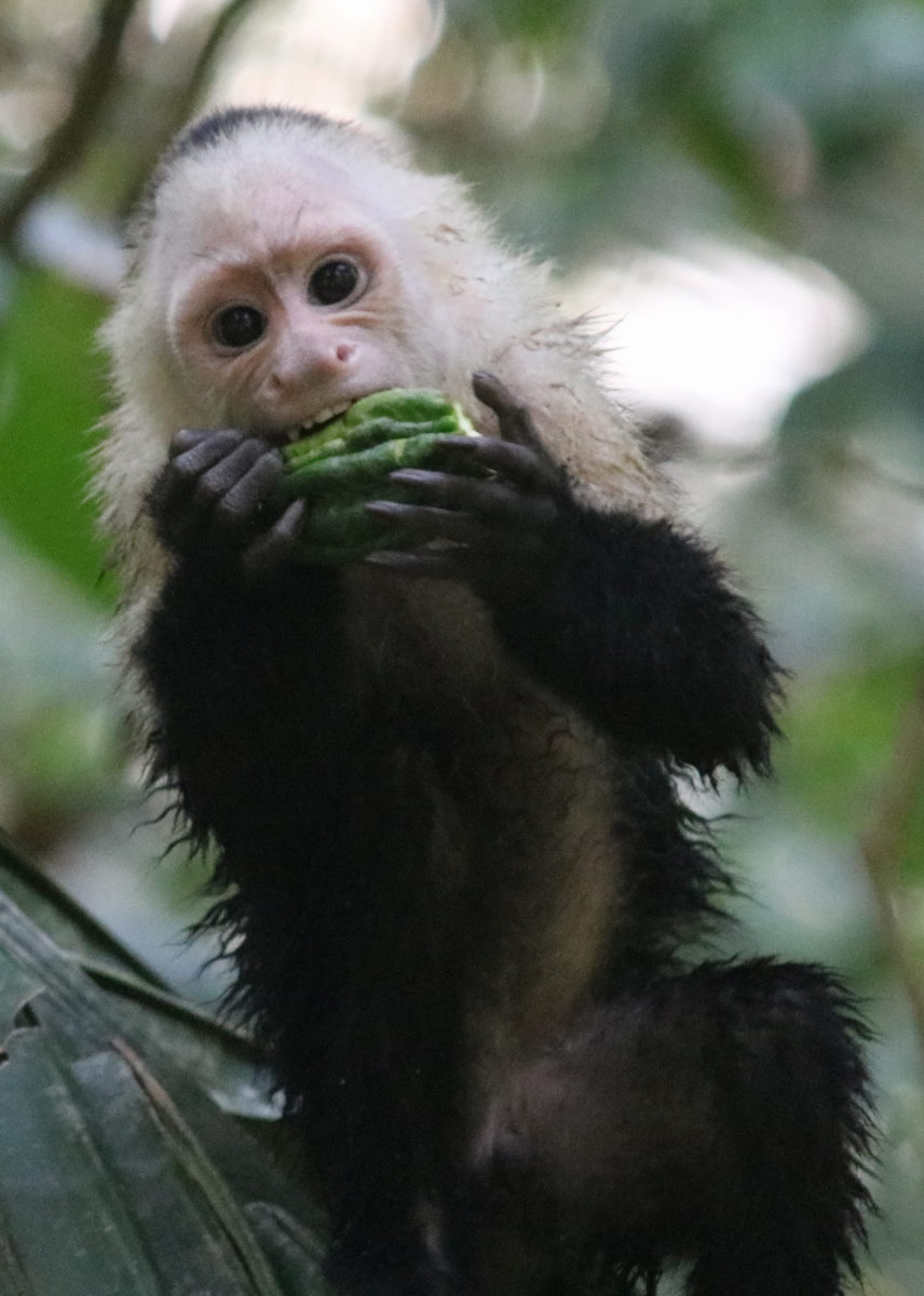
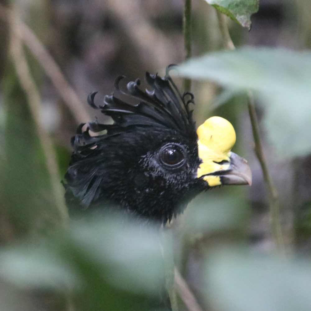
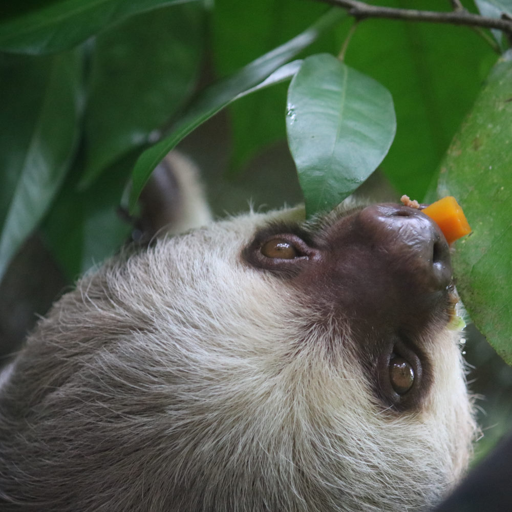
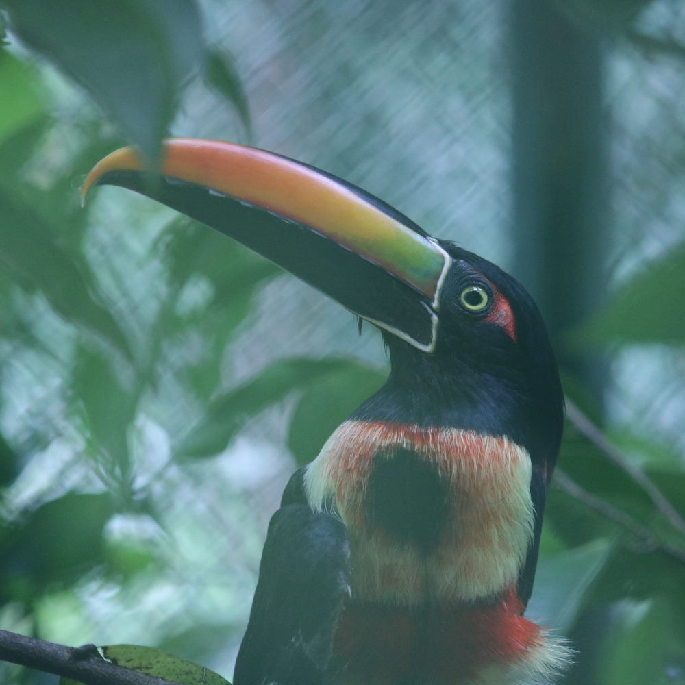
On returning to Quepos, we took a day to visit the Manuel Antonio Parque Nacional, and had prearranged a tour with Diego (of Diego Nature Tours) which turned out to be a great idea. We really would have seen nothing other than capuchin monkeys if we had not had Diego to show us the various hidden treasures including two and three toed sloths, tree frogs, howler monkeys and birds.
Quepos to Uvita
| DATE: | 27 March, 2022 |
| DEPARTURE: | Marina Pez Vela, Quepos |
| DESTINATION: | Playa Uvita, Parque Nacional Marino Ballena |
| DESTINATION LAT/LONG: | 09° 08.901N 83° 45.246W |
| TRIP: | 37nm |
| ENGINE HOURS (at Destination): | 896.07 |
We left the marina in Quepos early with the intention of getting to Drake Bay, however, shortly into the trip, with what little wind on the nose and a consistent 1.5 to 2 knots opposing current, we changed our intended destination to Punta Uvita. At one point, not quite trusting the new Speed/depth/temperature transponder that Colin had bought back from the U.S. and was just installed, we did a full 180 degrees under motor and sure enough, the SOG went from 5knots to almost 8; the current was real! Although the wind did clock around and got to about 10 knots, the current persisted and we motor- sailed to maintain enough speed to comfortably reach Uvita well in time for the early sunset at 5:45pm.
Our trip distance ‘over ground’ was 37 miles, but due to the opposing current were had to travel 49 miles through the water. Really?
Entering Uvita is a little disconcerting as it requires entry through a gap, albeit a wide gap, between two large reefs and being exposed to the full swell, there is a lot of crashing surf, behind which the anchorage sits. We made it in safely but after dark experienced our first (likely of many) tropical rain storms accompanied by much thunder and lightning. Being the only boat in the broad anchorage, this left us feeling exposed, and got us disconnecting the mast head unit, putting devices in the oven, and turning off all remaining electronics. Fortunately, it was over by 9pm or so, and we were left to a relatively peaceful night in fairly rolly conditions.

Playa Uvita to Drakes Bay
| DATE: | 28 March, 2022 |
| DEPARTURE: | Playa Uvita, Parque Nacional Marino Ballena |
| DESTINATION: | Drakes Bay (Bahía Drake0 |
| DESTINATION LAT/LONG: | 08° 41.826N 83° 39.883W |
| TRIP: | 28.3 |
| ENGINE HOURS (at Destination): | 901.13 |
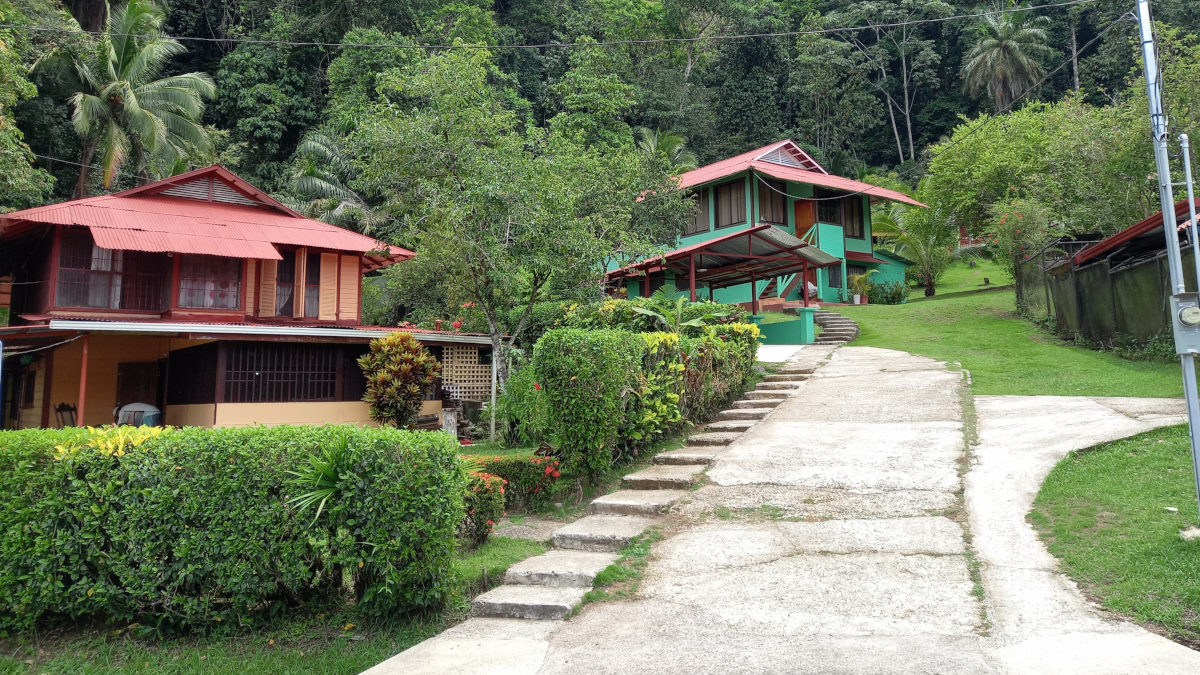
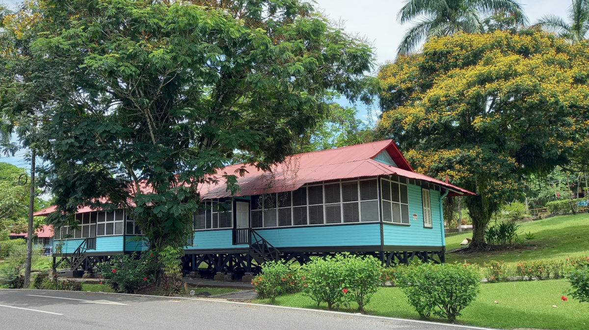
With the moderate roll continuing at Uvita and the promise of Drake Bay (highly recommended by BOHEMIA and MATILDA), we were out early for what turned out to be a notably uneventful motor over to Drakes Bay. Anchor set, we resigned to going into the town the next day. We spent the following morning in Drakes Bay, which is quite delightful. Rugged unpaved roads that are clearly subject to tremendous quantities of rain during the season, well stocked grocery stores and a few good restaurants. It is clearly an eco-tourist destination, and every house seemed to be some flavor of lodging. We took a welcome long walk on the entire beach and took in the amazing variety of trees, flowers and fruit (two very bountiful mango trees) and a number of impressive red parrots that seemed to be ‘dueling’ in the trees.

Drakes to Jimenez; Stuck in the mud!
| DATE: | 30 March, 2022 |
| DEPARTURE: | Drakes Bay |
| DESTINATION: | Jimenez |
| DESTINATION LAT/LONG: | 08° 42.6946N 83° 18.3925W (in the mud) 08° 32.24N 83° 18.07W (on the buoy) |
| TRIP: | 59.5nm (67.2 DSTWTR) |
| ENGINE HOURS (at Destination): | 912.32 |
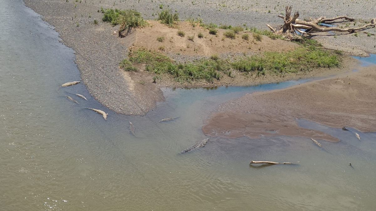
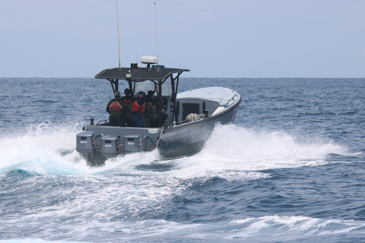
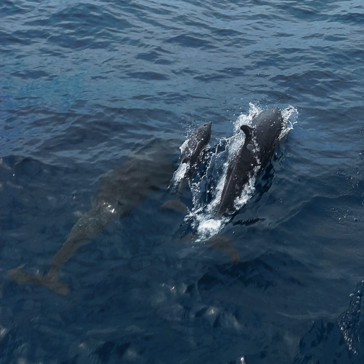
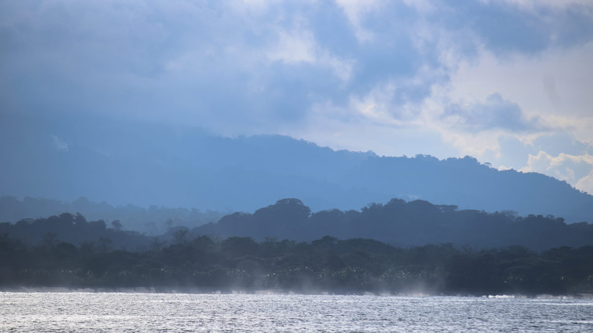
We left Drakes Bay at 6:30 am knowing we had a good distance to go to our intended destination at Jimenez in the Golfo Dulce. With the promise of a bit of wind soon after leaving we put up the sails, but it was short lived. We repeated this process a couple of times throughout the trip with the same result. This coast, at this time of year has very little wind, period! The passage therefore was eleven hours of motoring, most of it into opposing current down the outside of the Osa Peninsula, and when we turned the corner into Golfo Dulce we had a strong ebb current. Result: we did cover the 59.5 miles to Jimenez, while travelling 67.2 miles through the water. The only highlights on the way, other than the spectacular coastal scenery and dramatic clouds, was a fairly close interaction with a Costa Rican fishing vessel, a few dolphin encounters, one with a very small baby who was keeping up the challenging pace set by its mother, and a drive-by from the Costaguardia.
We got to Jimenez right at sunset and were anxious to get anchored before the light faded. We had read that the bay is made particularly challenging because it is extremely deep with a steep sided narrow shelf with any good spots filled with moorings. We went to the location as recommended in the Sarana Cruising guide, and close to the mark of SV Prism, but what appeared to be a new anchor ball was pretty much in that spot and doing a drive through, we could not see a comfortable depth/swing room combination. With light fading I drove the boat over to an area that looked to have potential on the chart. As we approach anchor depth, I was doing the usual circle to ascertain a comfortable depth for swinging but came to a halt in the mud. The depth had gone from 40 feet to five feet in just a few boat lengths and rushing to get the job done with some light, we were going too fast. Now firmly stuck, and not able to motor forward or back, we lowered the dinghy, but the 8hp motor, trying both pulling the boat, then tipping the boat with the halyard to lean it over, was doing nothing significant. The tide was going out at about 1.5 foot per hour, and we had now spent 30 minutes with no result. Colin recalled seeing a family fishing from their sport boat on that ‘new’ mooring and I dinghied over to ask for a tow. They were quick to respond and attempted to pull us out forward and back with no luck. We were resigned to waiting out the low tide. Giving our new friend some dollars, he offered we could use his mooring once free.
At this point it was about 6:45pm and with one hour until low tide we could see we only had about a foot or so more to go, so with the fear of the boat possible lying on its side in the mud out of our minds, we got ready to wait it out.
Colin did depth readings with the handheld meter around the boat, and it looked like we would end up in about three feet of water, and with the keel possibly well set into the muddy bottom, we’d be pretty ‘high and dry’.
Planning our escape, we set up the stern anchor arrangement as a kedge with the dinghy. The rode ran off the bow, with the anchor about 150 ft directly off our beam, in about 30 ft of water, and from the dinghy it was clear the usual waterline was sitting a about 9 inches proud of the water. The boat was sitting straight up, so the concern now was if (when) it would tip over on its side, and, how much?
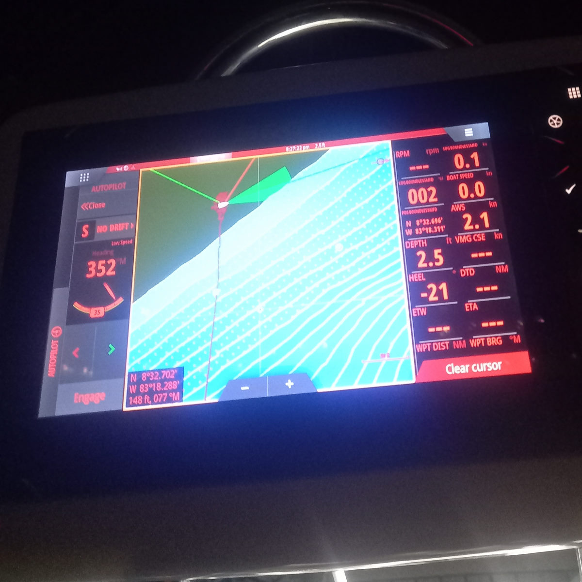
I check the heel angle on the chart plotter, and we were sitting at -1 degree, fifteen minutes or so later we were at pretty much the lowest point of the tide, and the angle changed from -2 and then to -3 degrees. We seemed to be holding however, until a boat arrived in the bay, creating enough wash to wobble us, and the boat, quite dramatically, settled into its new position at -22 degrees, just about the heel angle of a very sporty sail.
With the boat now leaning over at an acceptable angle, and the tide at its lowest point, I felt the stress lift; things would only get better from here. Sure enough, fifteen minutes later I reported a 21 degree heal then another 10 minutes 20 degrees, and from there the angle improved exponentially until we were pretty much upright and just waiting to float.
The kedge setup worked perfectly and as we started to feel the boat move around in its trough Colin took in the slack, and soon we could see the boat turning slightly while pressure was applied to the kedge rode. Patience … patience …!
With the boat feeling like it was moving more freely, a pull on the rode revealed we were moving out into open water.
We motored over to the mooring ball and got secured before 11pm, settling for a stiff drink in place of sorting out the mess on the foredeck which we left for the morning.
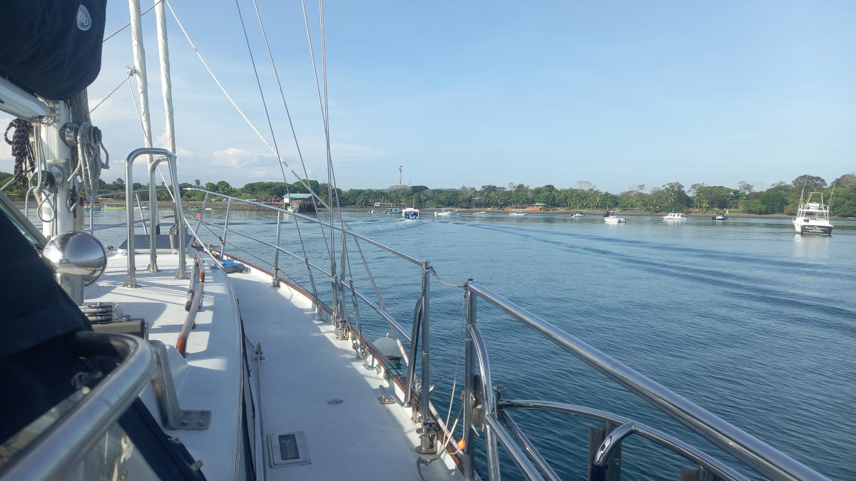
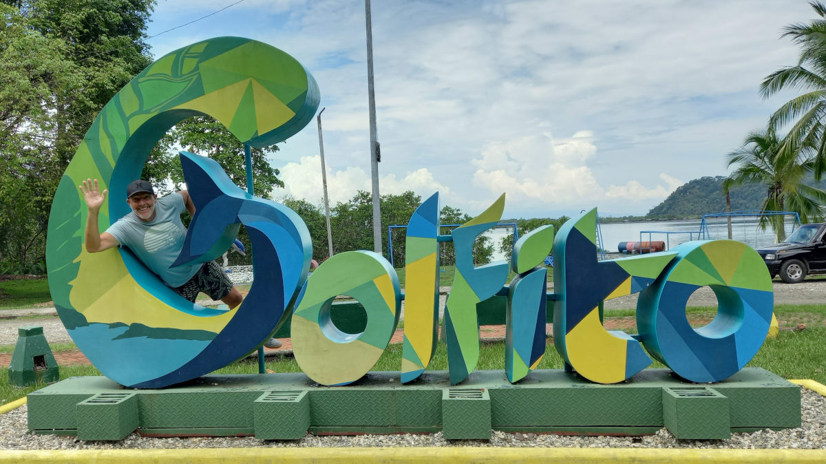
Jimenez to Golfito
| DATE: | 31 March, 2022 |
| DEPARTURE: | Jimenez |
| DESTINATION: | Golfito |
| DESTINATION LAT/LONG: | 08° 37.227N 83° 09.397 W |
| TRIP: | 10.9 |
| ENGINE HOURS (at Destination): | 914.4 |
We were thinking to stay and explore Jimenez for a day or so, but the owner of the mooring ball was nowhere to be seen and feeling like we might be ‘overstaying our welcome’ by leaving the boat to go to shore, we made the decision to take the short trip over to Golfito. Besides, we sort of felt that Jimenez was cursed and moving on was in order. The fact that there was a reasonable breeze, enough to sail in, was also enticing after three legs of almost complete motoring.
Sails up we relaxed into the short sail, towing the dinghy on very flat water. The entrance to Golfito is enticing and once inside its clear that this is larger than the other less significant towns we have been close to recently. Golfito is a big flat lagoon, and anchoring was easy, although we did take a re-anchor due to realizing that the tide was significant enough to push boats one way, while the wind was pushing other boats in a different direction, and our initial anchor was fairly close to a catamaran that was likely to behave differently to Boundless in those conditions.
We had anchored off Banana Bay Marina (‘Marina’ is a bit of an exaggeration), as were Peter and Tom on BOHEMIA, and we soon caught up for a cocktail and then dinner in the surprisingly good marina restaurant.

Golfito to ‘Monkey Beach’
| DATE: | 8 April, 2022 |
| DEPARTURE: | Golfito |
| DESTINATION: | Punta Salvador, (‘Monkey Beach’) |
| DESTINATION LAT/LONG: | 08° 40.6325N 083° 19.4502W |
| TRIP: | 12.32 |
| ENGINE HOURS (at Destination): | 917.3 |
We had been out for a trip on MATILDA to celebrate Matt’s 60th Birthday, visiting Dolphin Quest, and taken a walk through the jungle, as well as a healthy (and sustainable) lunch at this volunteer-work exchange retreat.
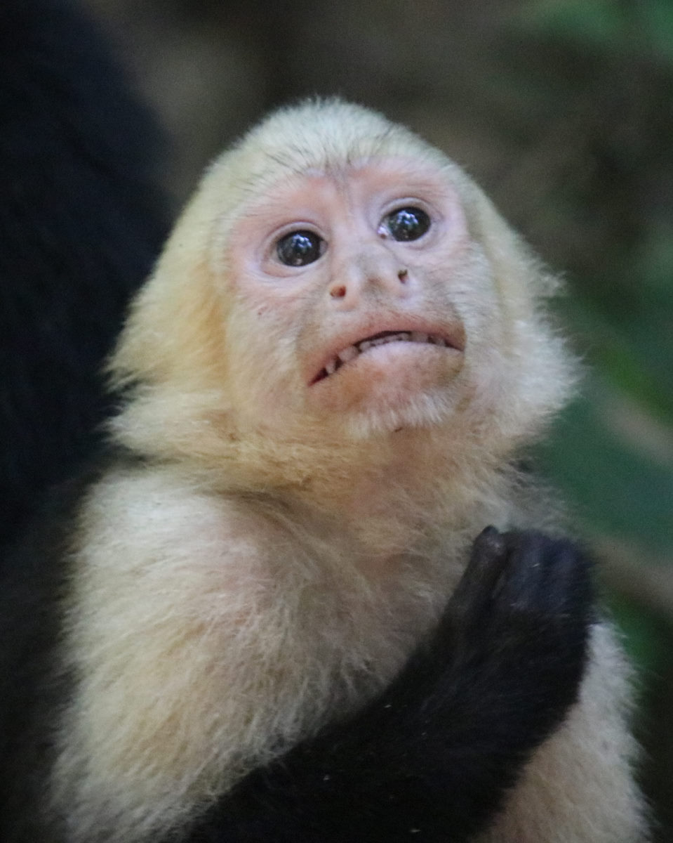
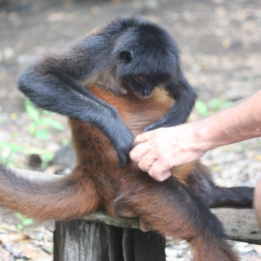
On the way back, Matt and Fiona took us (and BOHEMIA) to see a couple of other anchor spots they had scoped out that were not on the chart or in the cruising guides. One of these was coined “Monkey Beach”, where Fiona had an encounter with a fairly ‘aggressive’ monkey as soon as they had got to the beach from the dinghy.
We had decided, along with BOHEMIA and MATILDA to go to this beach for a weekend away from Golfito. The trip out was uneventful, with little wind, but we did get the foresail out for a bit of a lift for a while. As we were the last to arrive in this tight anchorage, the others had scoped a good anchoring spot and sent us coordinates, so we went straight to the point and dropped anchor. Regardless, we appeared very close to the beach at low tide and the depth got fairly shallow close to the boat, but with pleasant conditions and a good hold on the anchor we were fine.
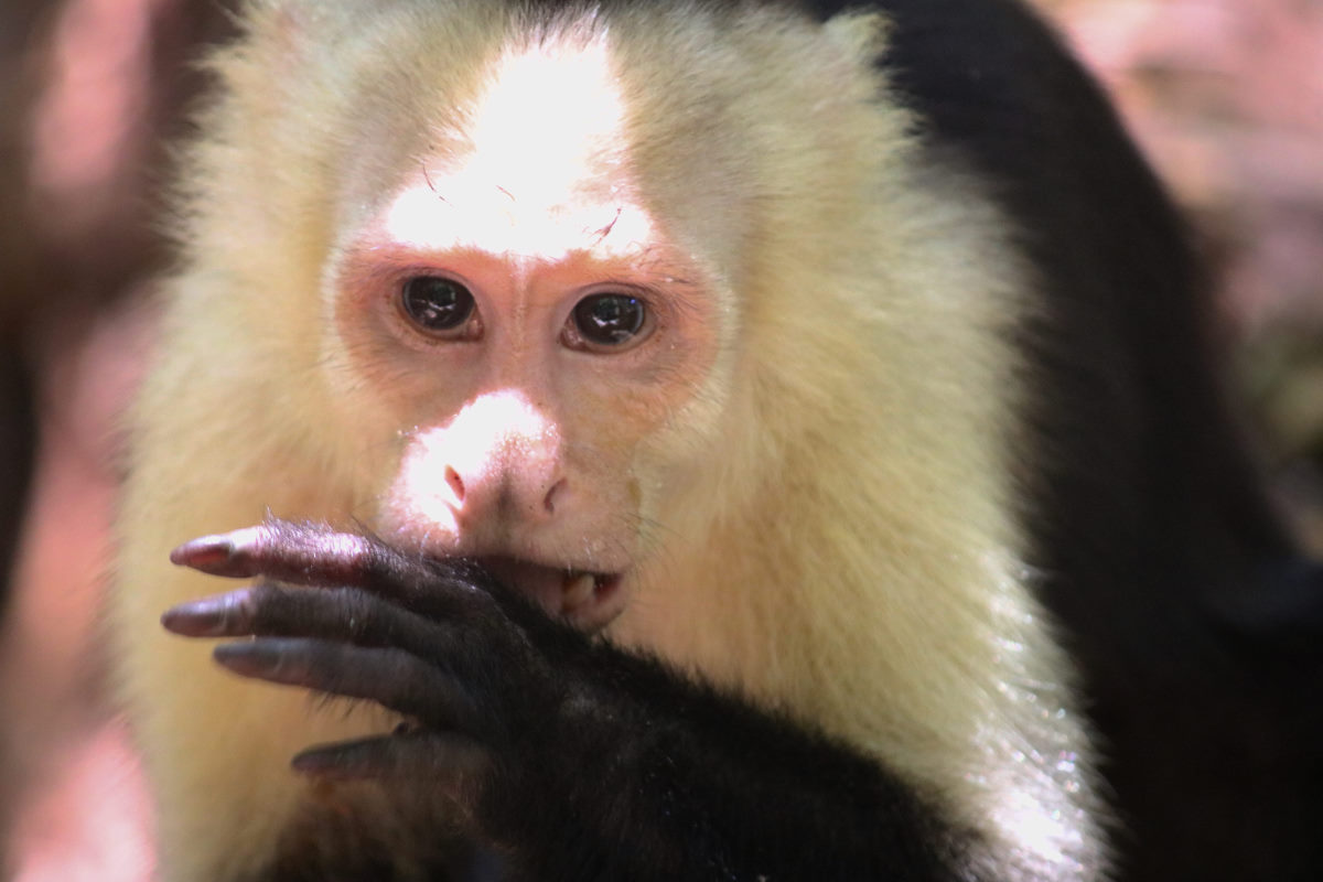
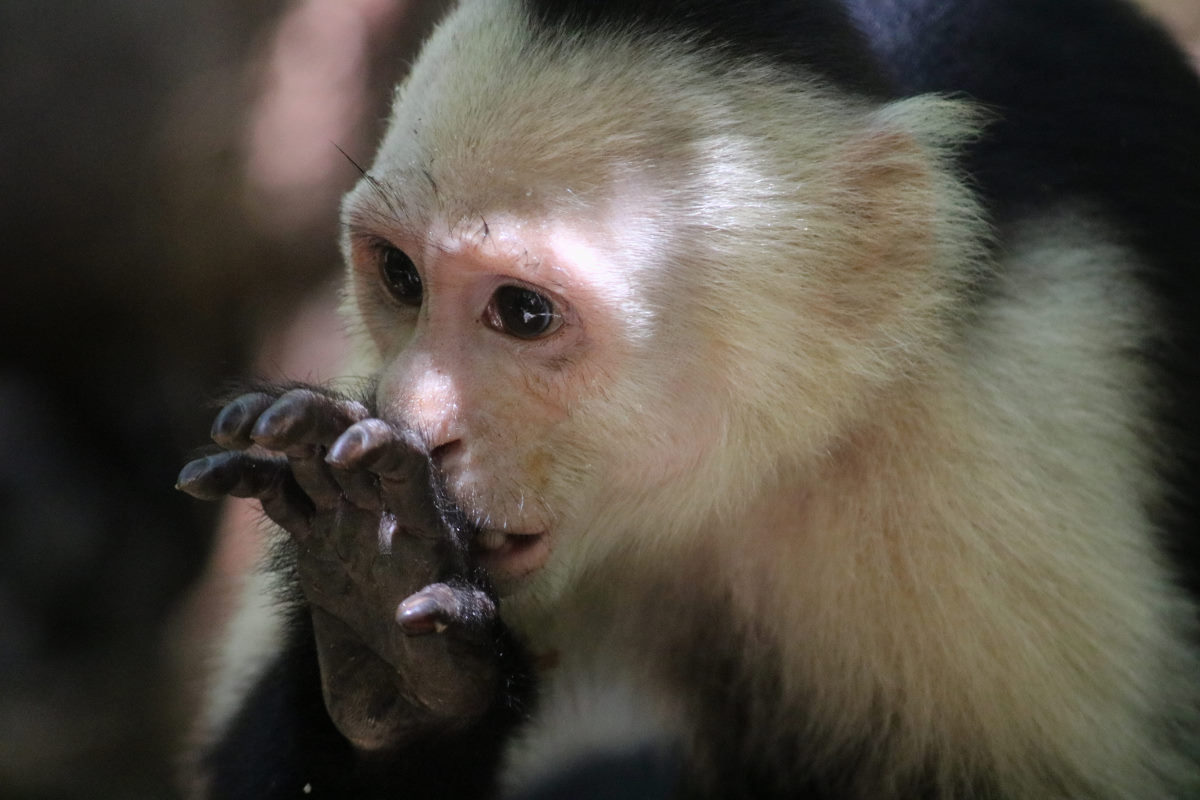
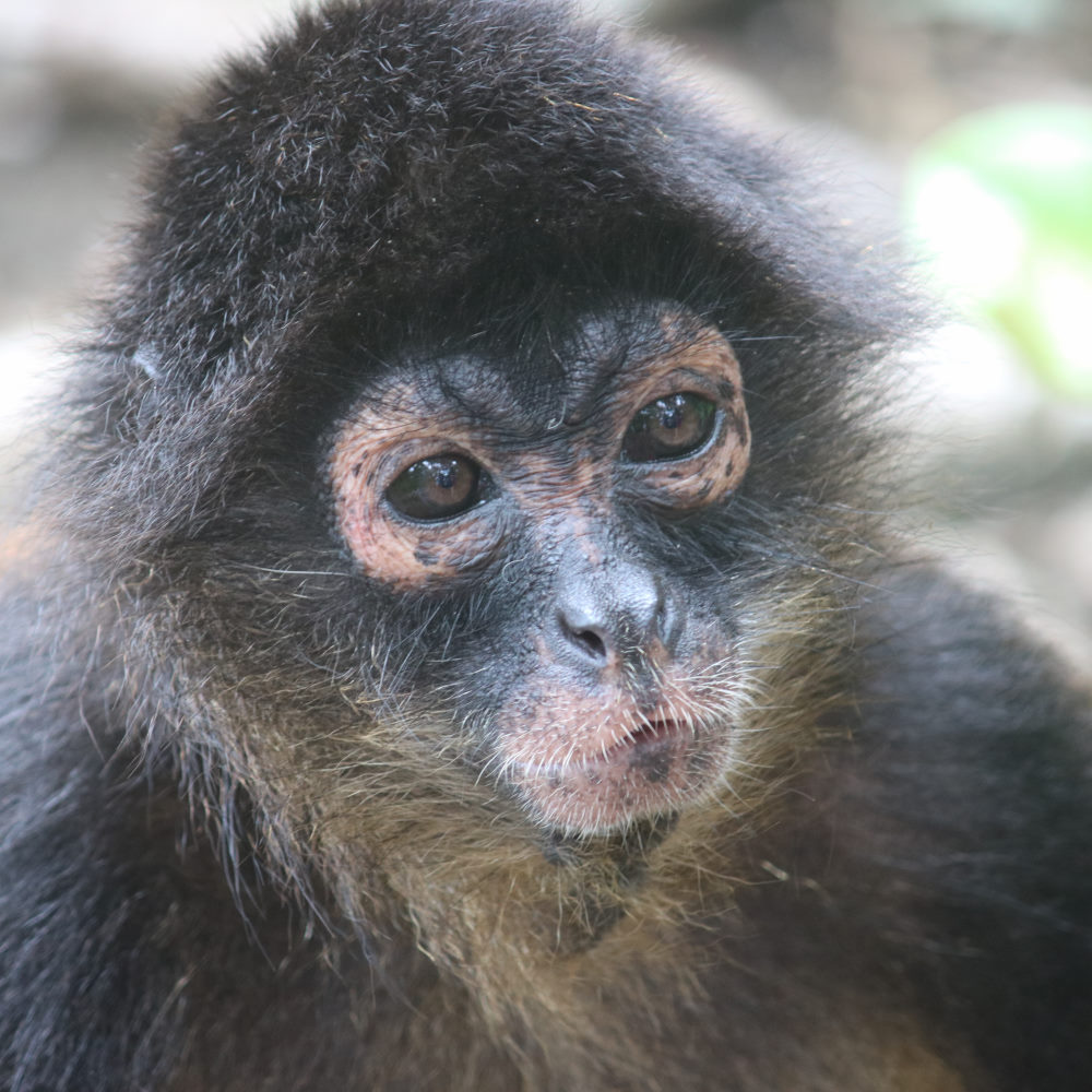
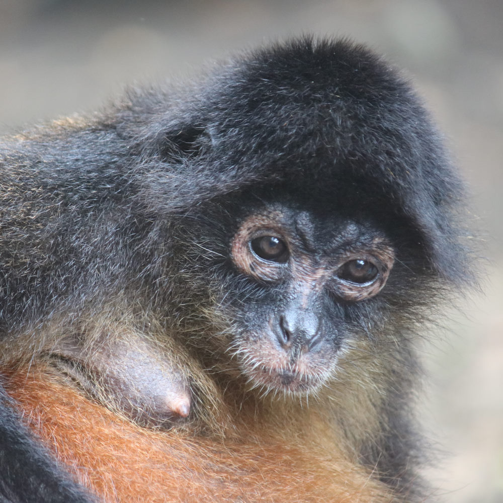
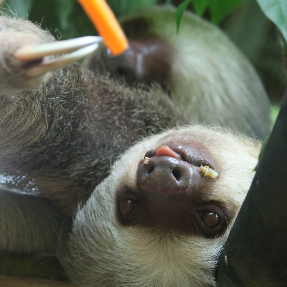
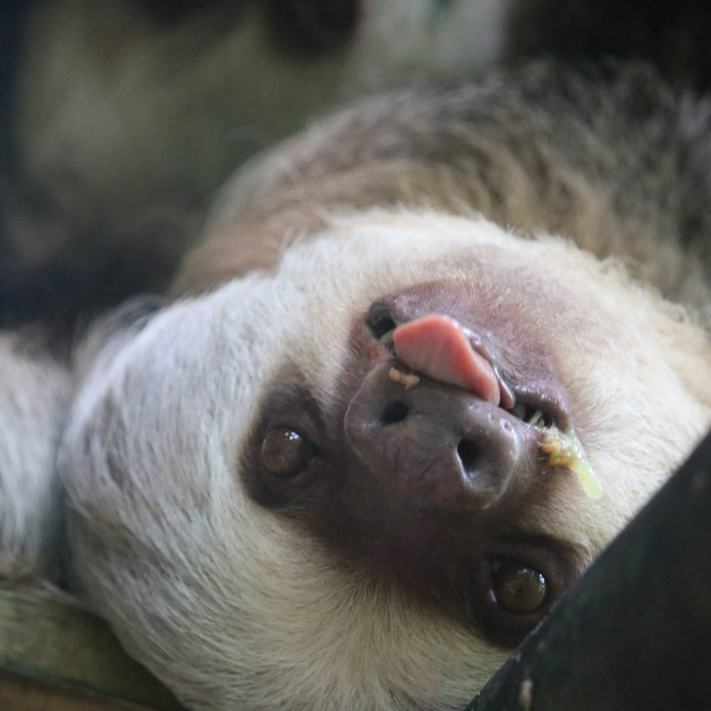
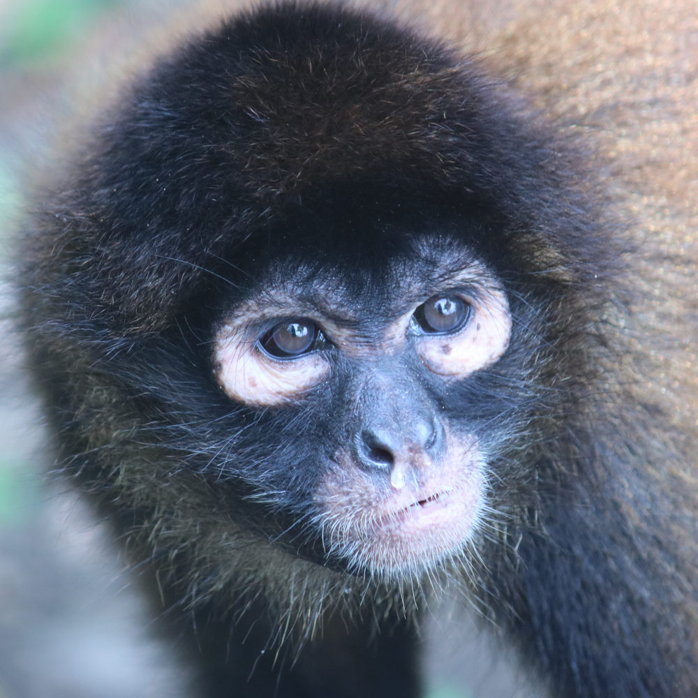
Just behind the beach is the Osa Wildlife Sanctuary, and we arranged a tour for Sunday morning. The sanctuary is run by a lady called Carol, who was away at the time, so we were given a tour by friendly Christie. The sanctuary is home to a number of monkey, birds, sloth and other animals, bought there to recover or recuperate, and while the vast majority are released back in their previous environment, a few become permanent residents for one reason or another. Initially smarting at the ‘minimum $150 donation’ for the two-hour tour, we left feeling very happy to have had such close-up experiences with monkeys (particular the 18-year-old spider monkey called ‘Sweetie’) and sloths, and good about donating to such a dedicated and well-meaning cause.
‘Monkey Beach’ to Golfito
| DATE: | 10 April, 2022 |
| DEPARTURE: | Punta Salvador, (‘Monkey Beach’) |
| DESTINATION: | Golfito (off Banana Bay) |
| DESTINATION LAT/LONG: | 08° 37.1587N 83° 09.2111W |
| TRIP: | 12.35 |
| ENGINE HOURS (at Destination): | 919.59 |
Light wind, so a motor back to Golfito. We tried making water, but the occasional red tide meant starting and stopping the water maker, so we waited until we were back inside the Golfito Lagoon to flush and finish. Entering the lagoon felt like ‘coming home’, which usually signifies it is time to move on. So, we planned the next few days of provisioning and checking out, around the week of Semana Santa, with Port Captain and other offices closed on Thursday and Friday.
We had noticed a solo-disabled sailor on his boat anchored next to us, and I had the brief opportunity to talk with him. He turned out to be Craig Wood, the British rifleman who had lost both his legs and one arm in Afghanistan. It was inspiring to watch him working on his boat, going to and from the marina docks, and I regretted not having the opportunity to chat with him further.
In addition to this well-known sailor, there were a number of You-Tube channel boats in Golfito at that time, including ‘Parlay Revival’, ‘White Spot Pirates’, and most famous, DELOS, who shared a dock at the Marina with MATILDA.