Golfito to Punta Balsa
| DATE: | 15 April 2022 |
| DEPARTURE: | Golfito, Costa Rica |
| DESTINATION: | Punta Balsa, Panamá |
| DESTINATION LAT/LONG: | 008° 04.645N 082° 50.990W |
| TRIP: | 54.7nm |
| ENGINE HOURS (at Destination): | 949.44 |
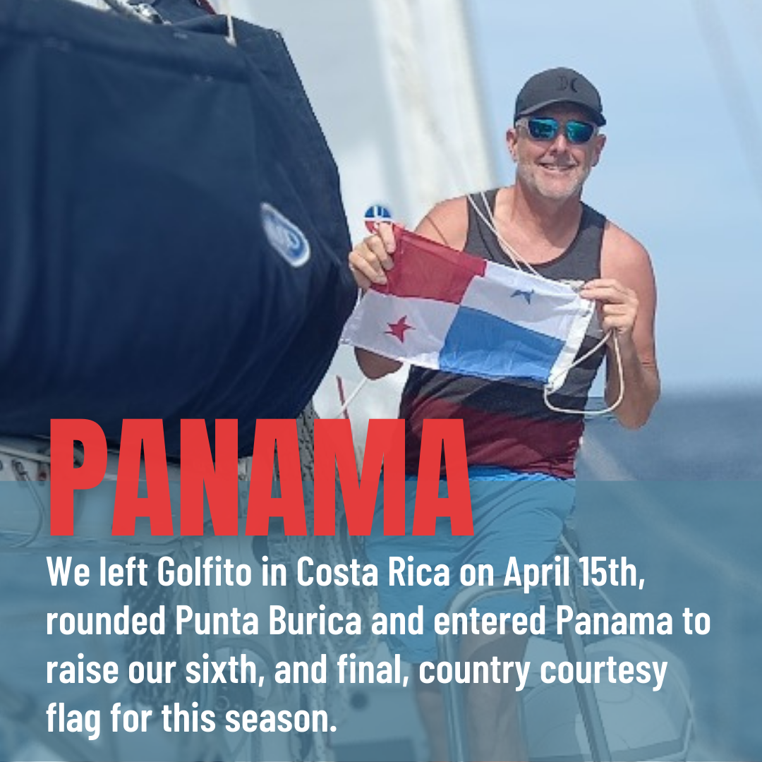
Having Checked out of Costa Rica on Tuesday, with assurances to the Port Captain that we would leave on Thursday by noon, as was required, we ‘laid low’ on Thursday and snuck out of Golfito on Friday, as we had planned, with our AIS transmitter deactivated.
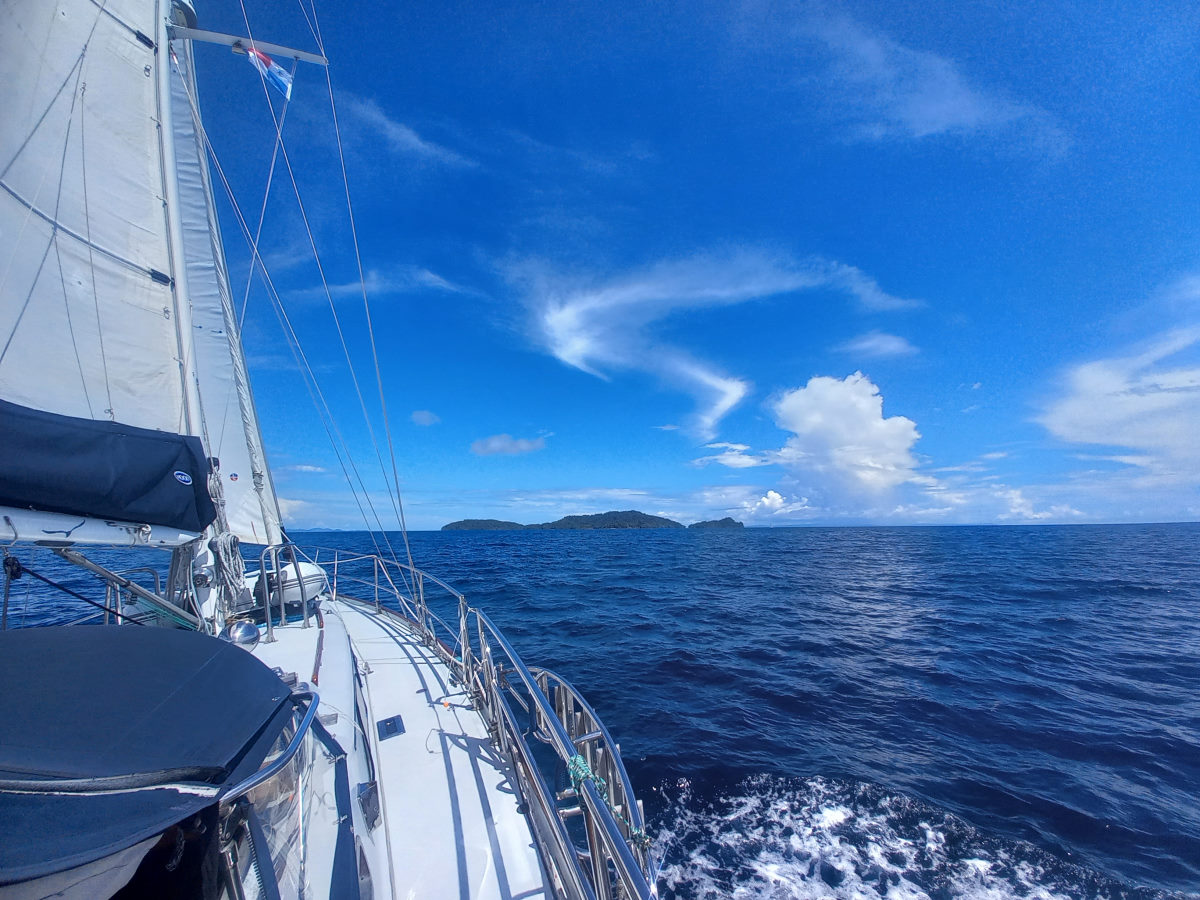
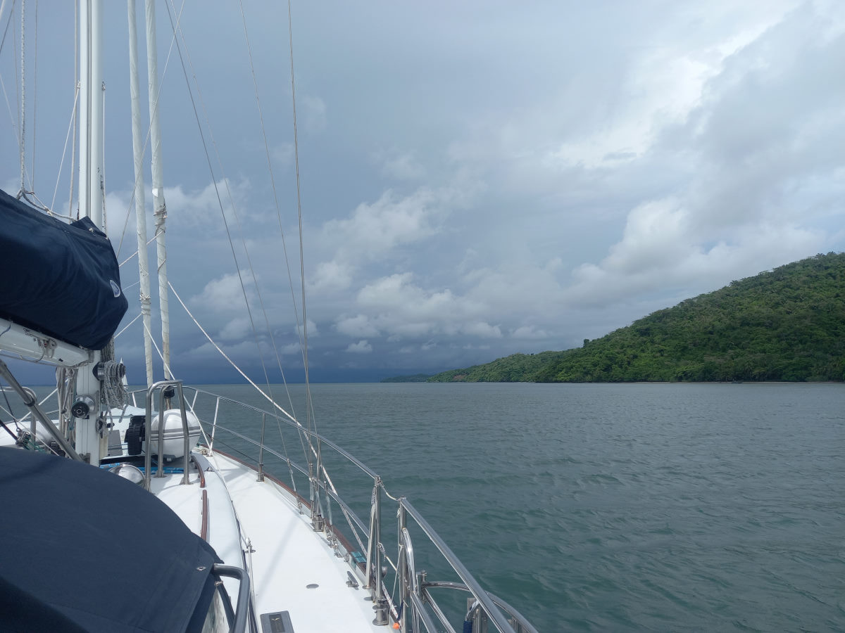
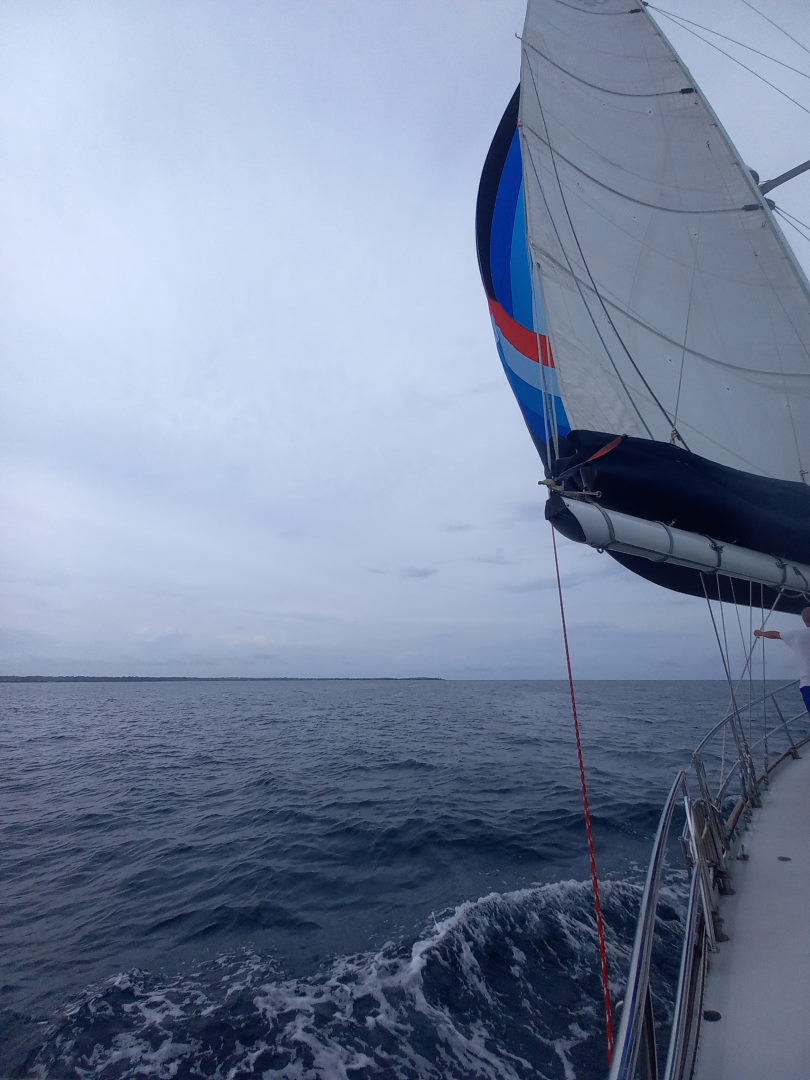
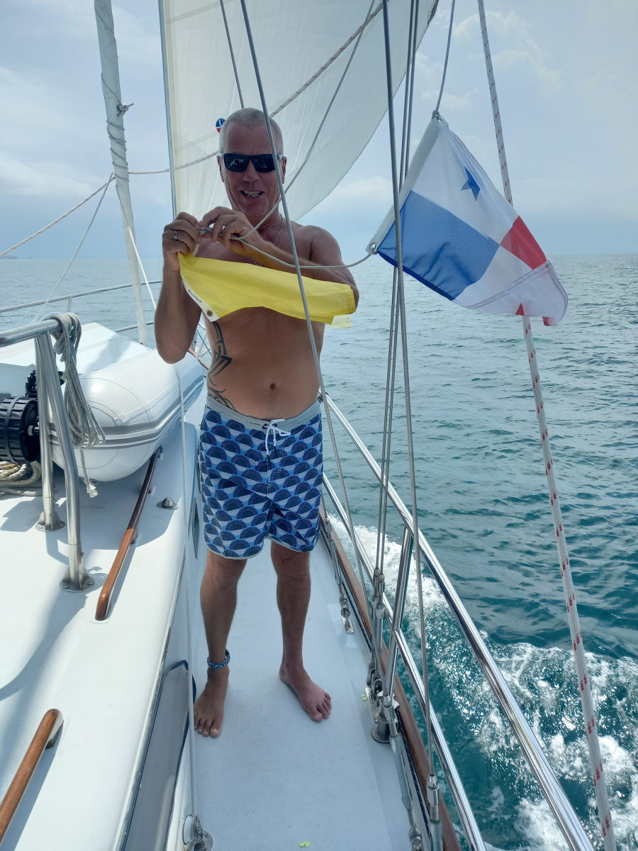
The trip was a motoring exercise but were helped along by a 1+ knot favorable current and made good time. We gave Punta Burica its due space and while rounding the point replaced the Costa Rican flag with the Panamanian.
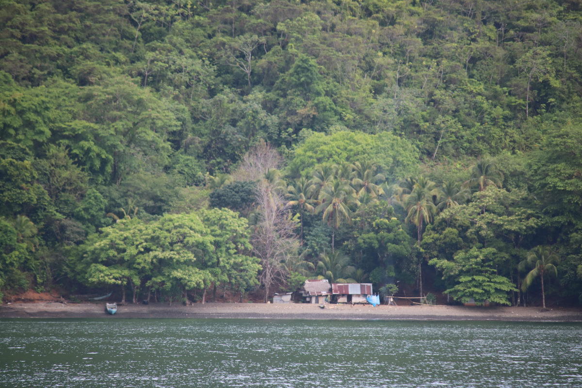
We knew that anchoring at Punta Balsa was anchoring on a fairly steep shelf, and sure enough, we were still in more than 500 feet of water when we could clearly see people on the beach. The depths rose quickly however, and we dropped in 35 feet, and then had 70 feet under the keel once we had backed down on the anchor.
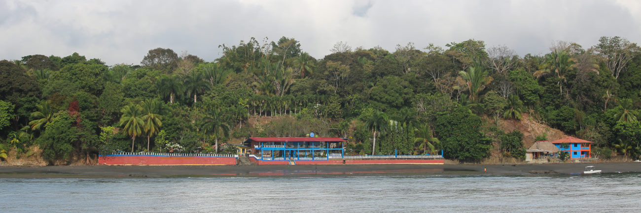
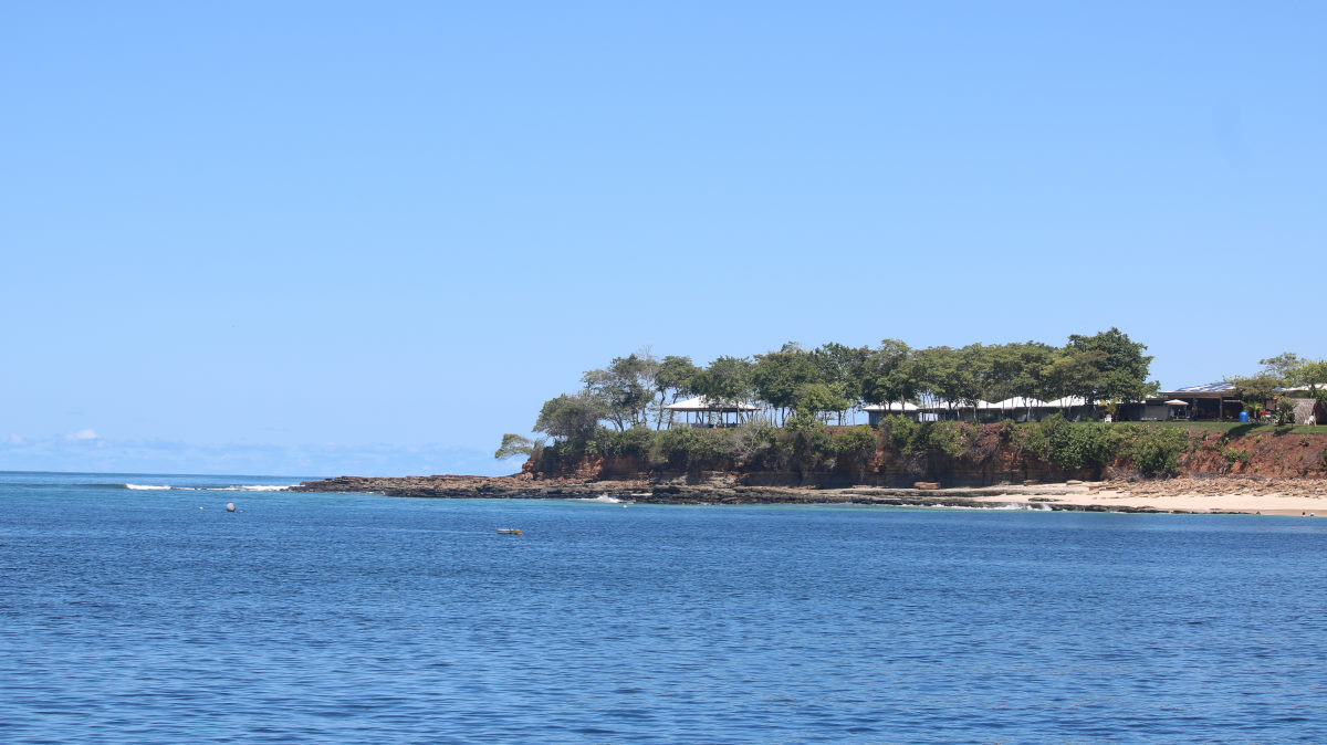
There was a surprising settlement on shore. The peninsular looks so remote, but there was a hotel and a few houses on the beach directly in front of us, as well as numerous lights on shore after dark extending up the coast towards Puerto Armuelles.
Punta Balsa to Isla Gamez
| DATE: | 16 April 2022 |
| DEPARTURE: | Punta Balsa |
| DESTINATION: | Isla Gamez (Isla Parida) |
| DESTINATION LAT/LONG: | 008° 07.7689N 019° 19.0782W |
| TRIP: | 34.2nm |
| ENGINE HOURS (at Destination): | 935 |
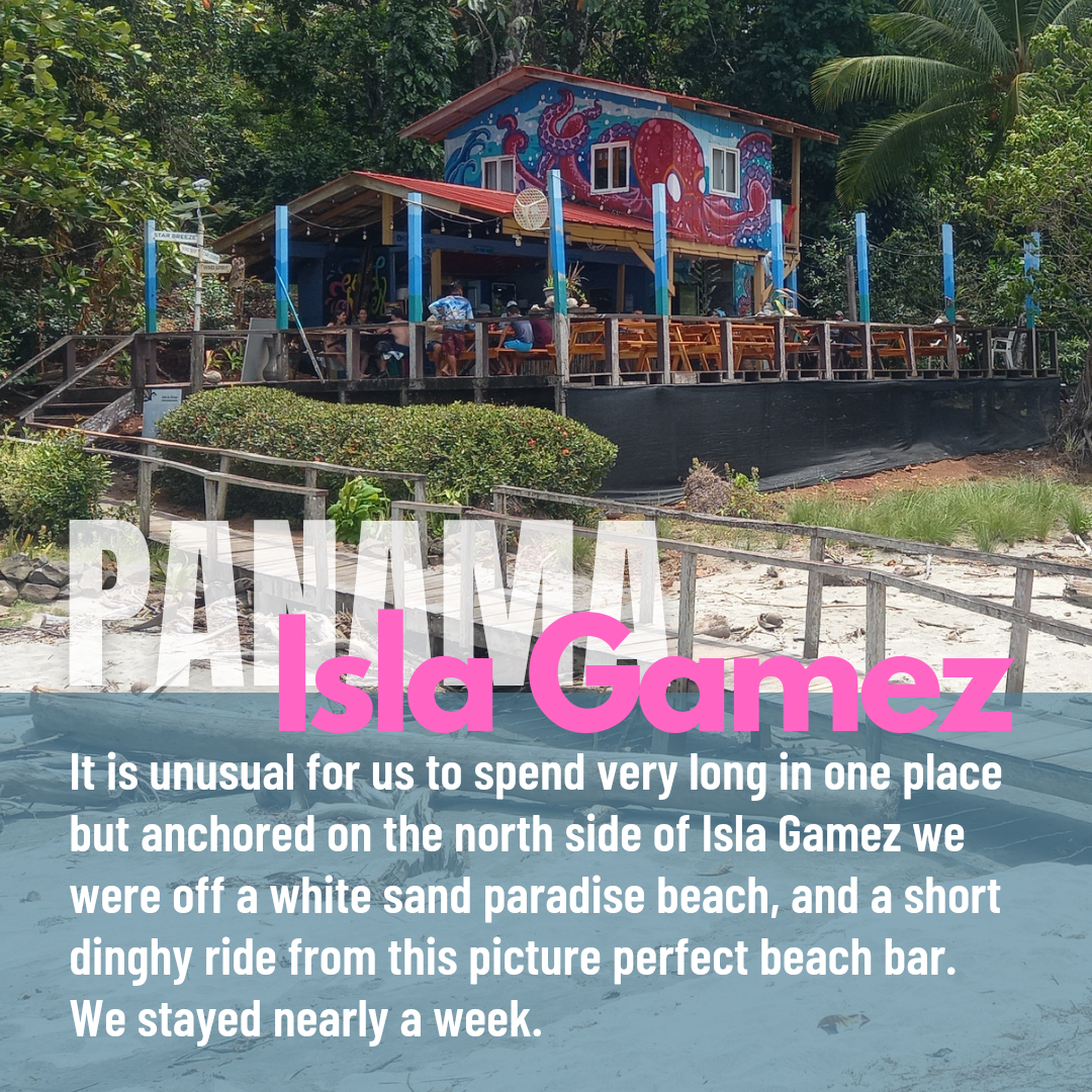
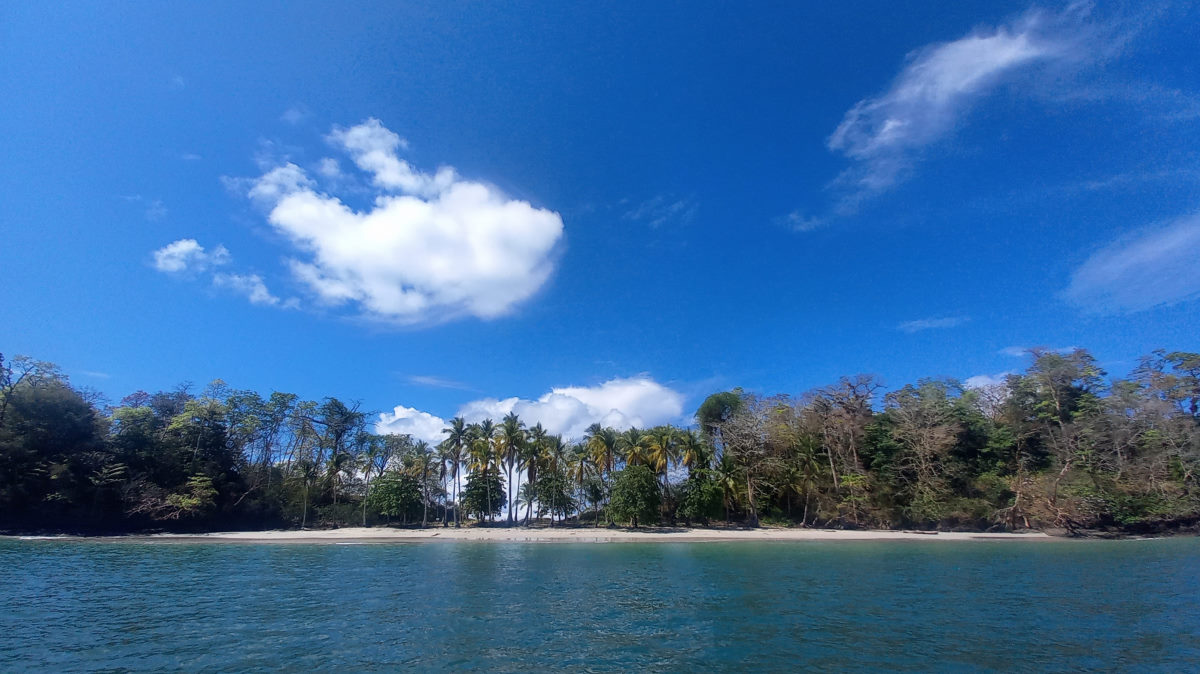
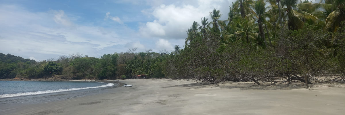
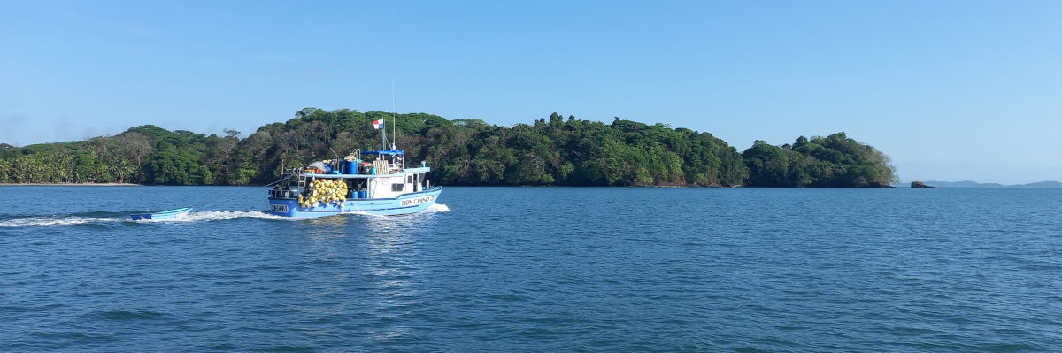
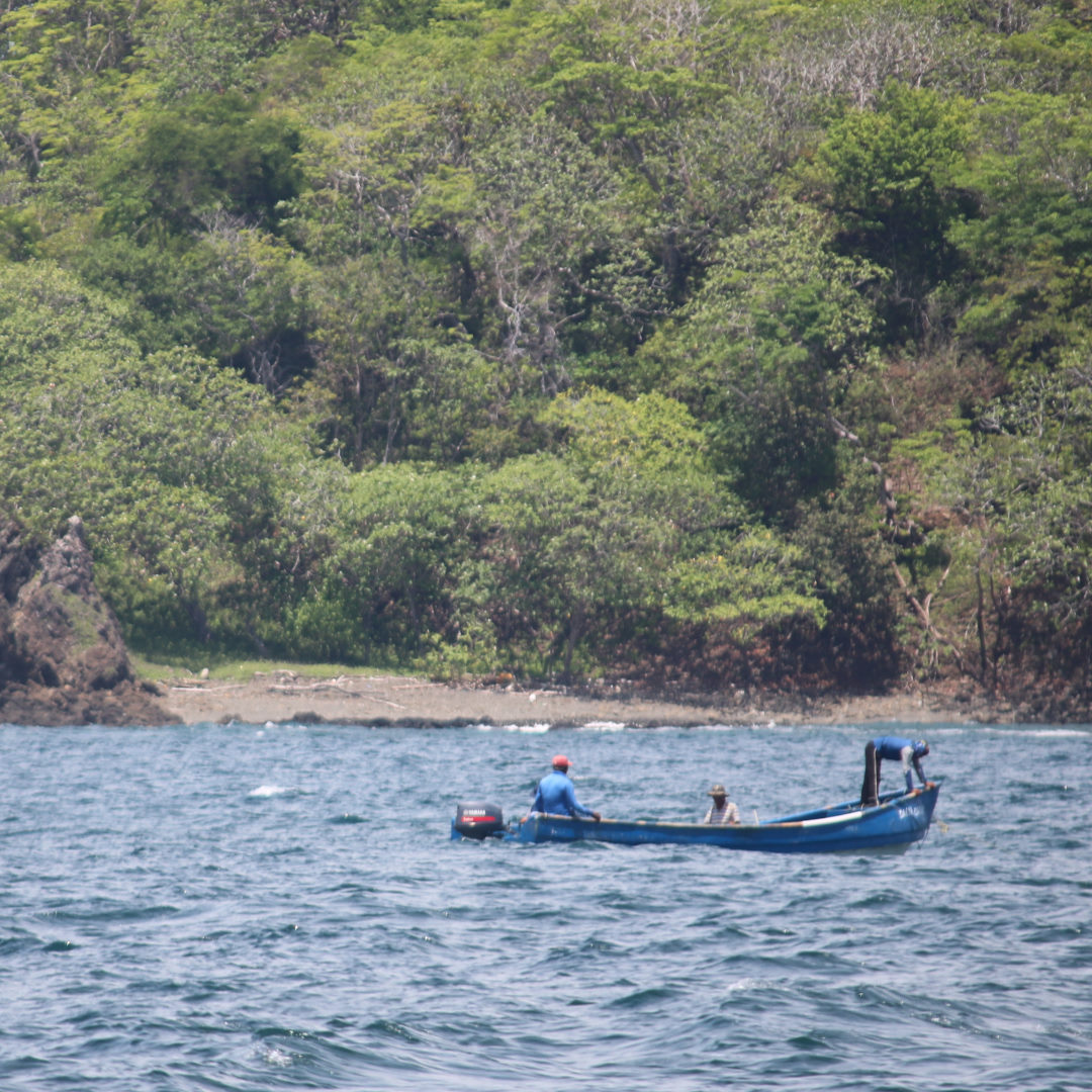
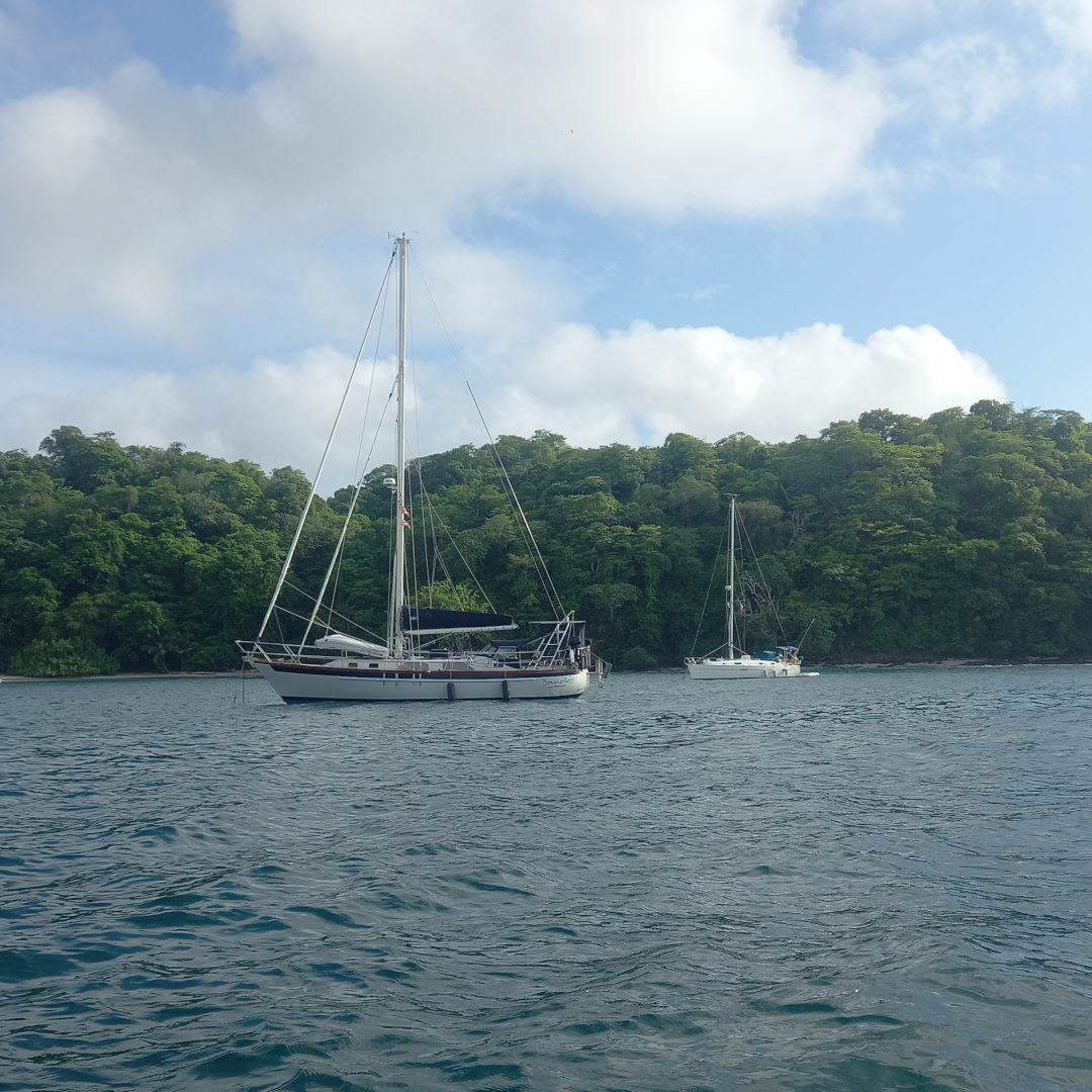
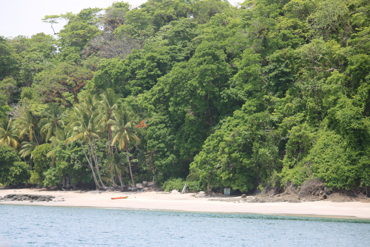
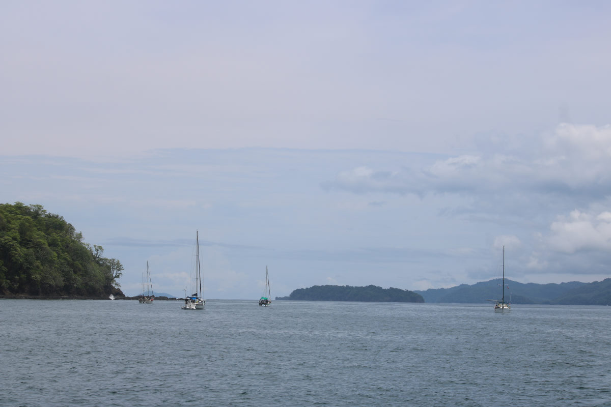
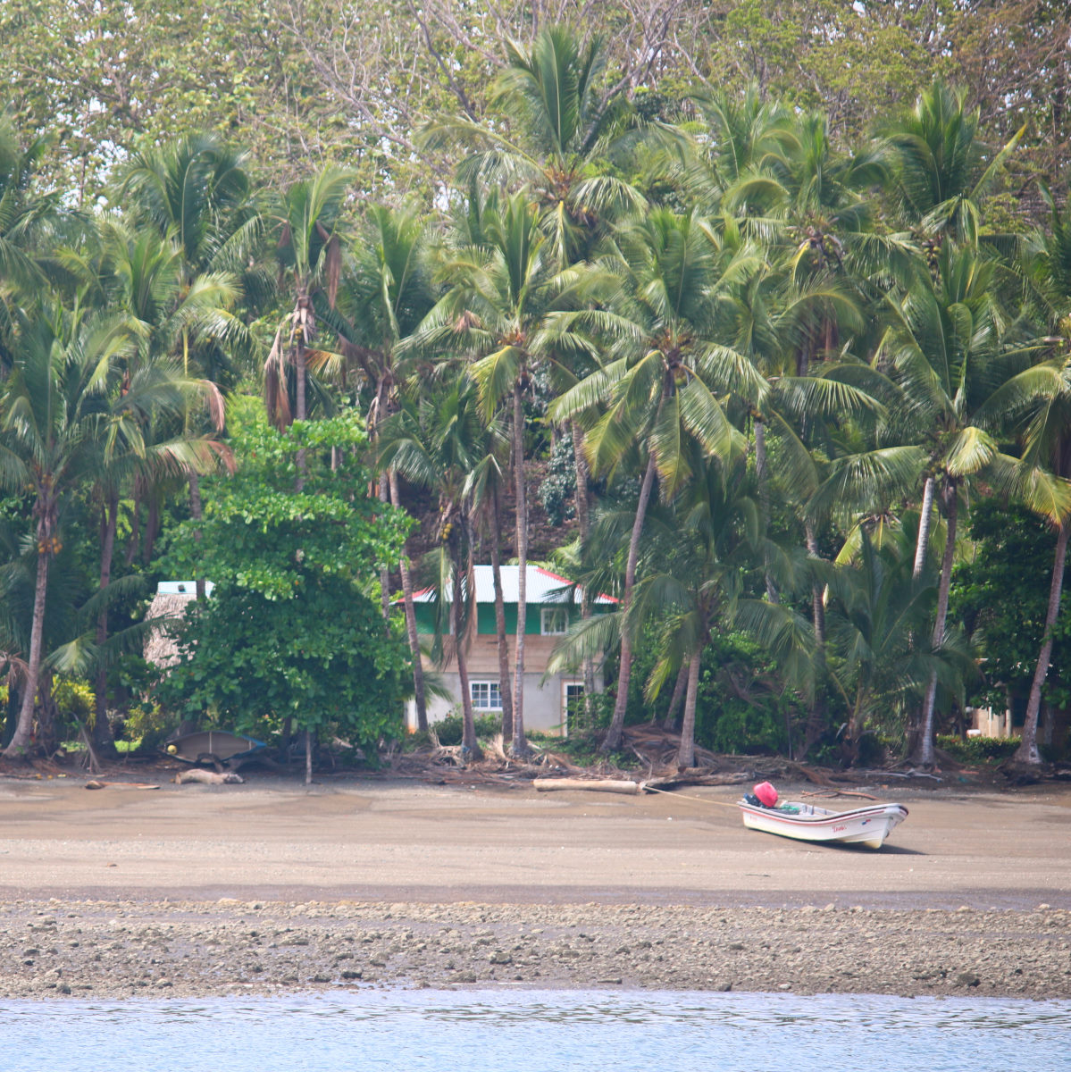
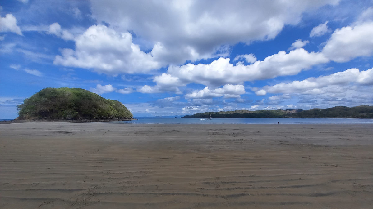
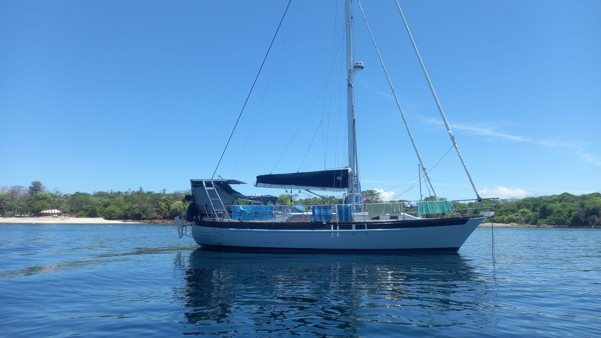
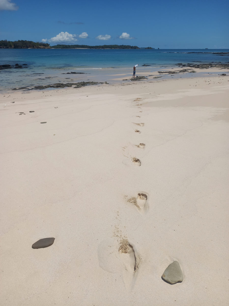
We left Balsa to cross the large bay Bahía Charco Azul (Blue Puddle Bay??) with light wind, however after a few hours the wind started to fill in and given our early start, and the lack of sailing we had done recently, we pulled up the sails, quit the engine and enjoyed some peaceful sailing. The wind filled in nicely and we made good time towards our intended destination of Enseñada Los Negros, a pleasant enough bay, but once anchored, we felt it was not as protected as would be the anchorages on the East side of Isla Parida. We pulled up the anchor and made the quick passage around to north of Isla Parida where an anchorage marked ‘Cabanas Parida’ seemed favorable. Once around the corner however, we could see a local fishing boat ahead of us anchored in another marked location that looked even better, so we ultimately anchored off the very picturesque white-sand beach on the north side of Isla Gamez. On shore we could see three group of overnight campers in tents.
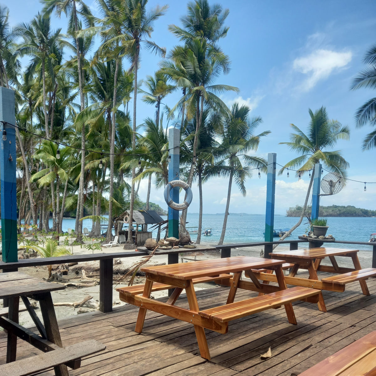
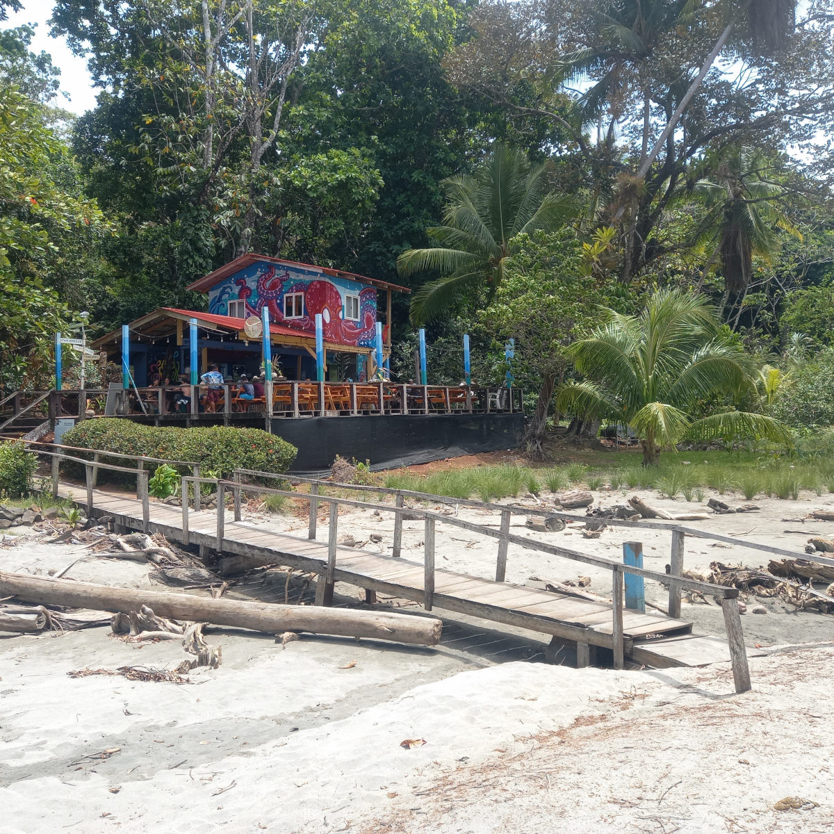
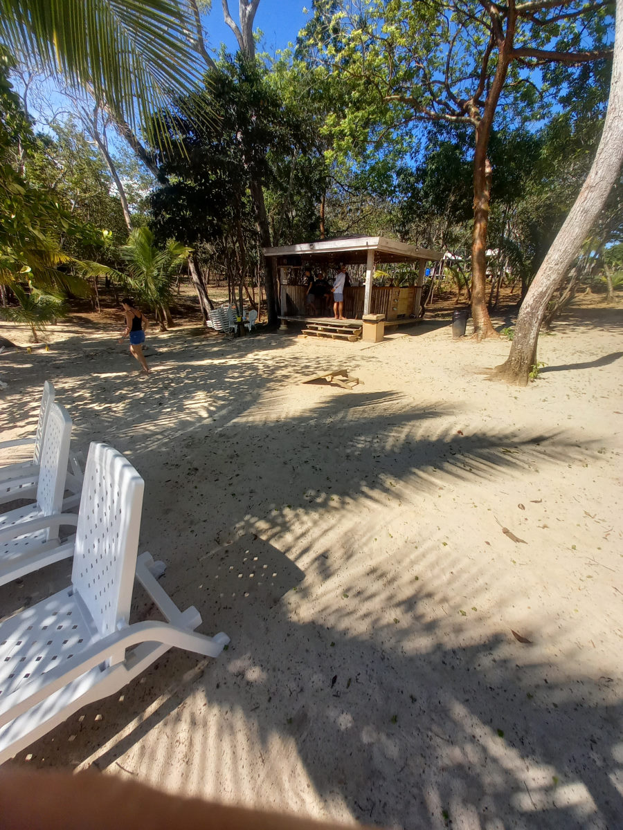
The following day was Easter Sunday and the first tour boats arrived shortly after 7am, then more, and more, and the beach, which was fairly ample at low tide. There were many comings and goings throughout the day, and people we had seen on this beach we also saw on the nearby beach where the bar was when we visited later. As the beach shrank with the rising tide, the crowds disappeared, and we were left on our own to enjoy one of the nicest anchorages we had been in for a long time.
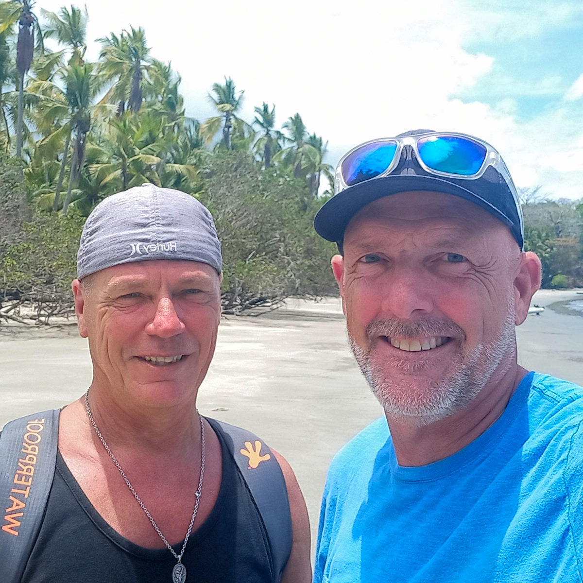
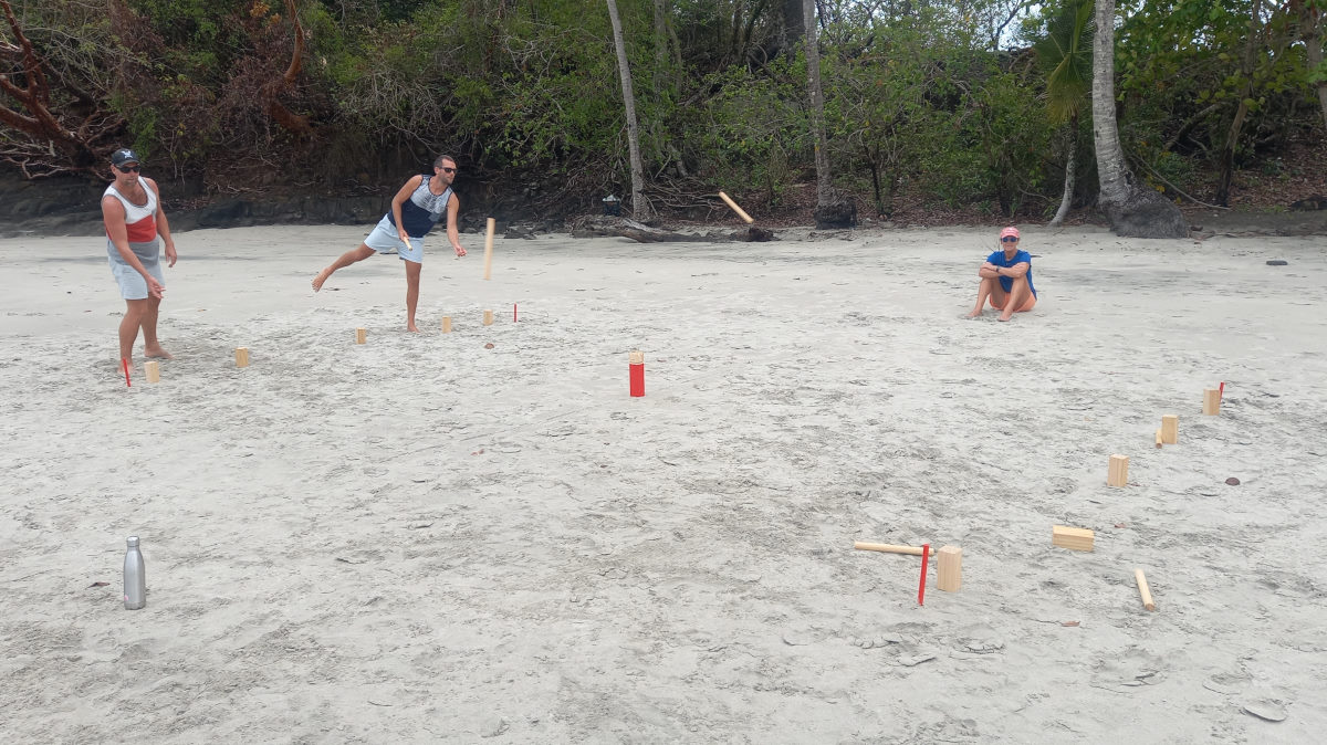
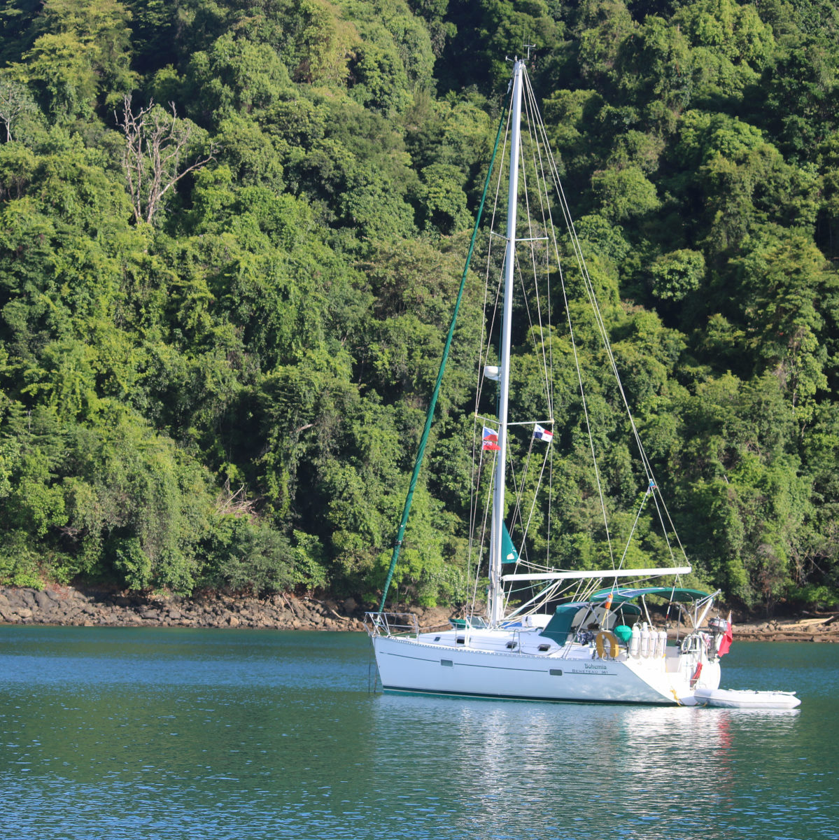
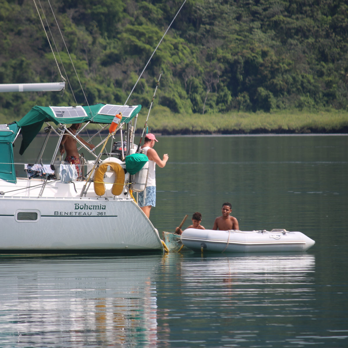
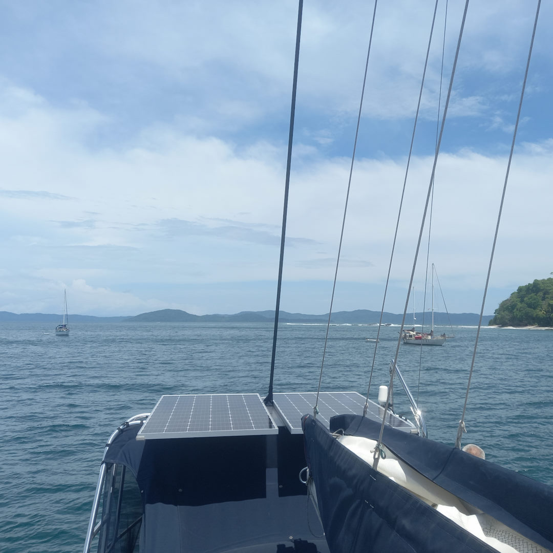
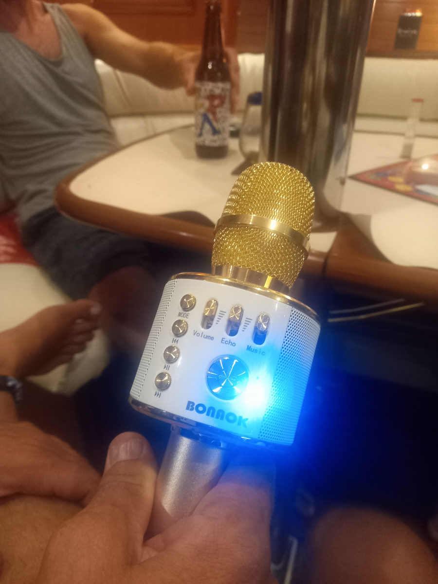
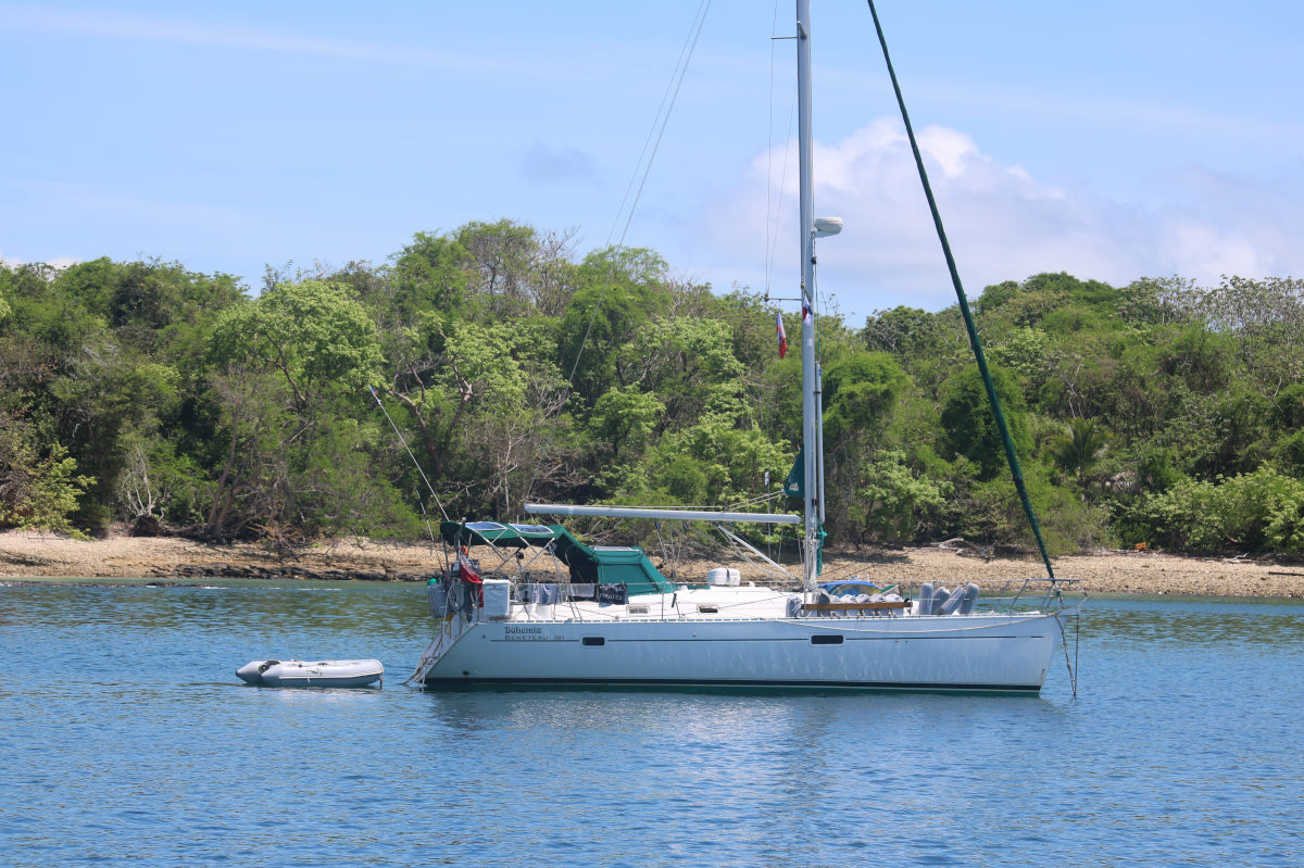
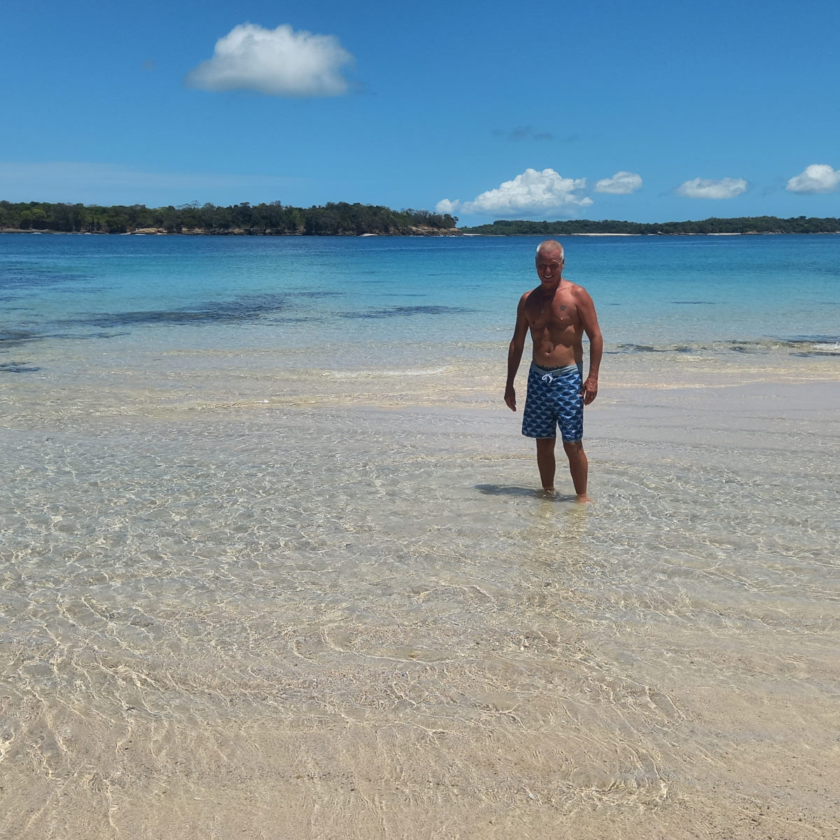
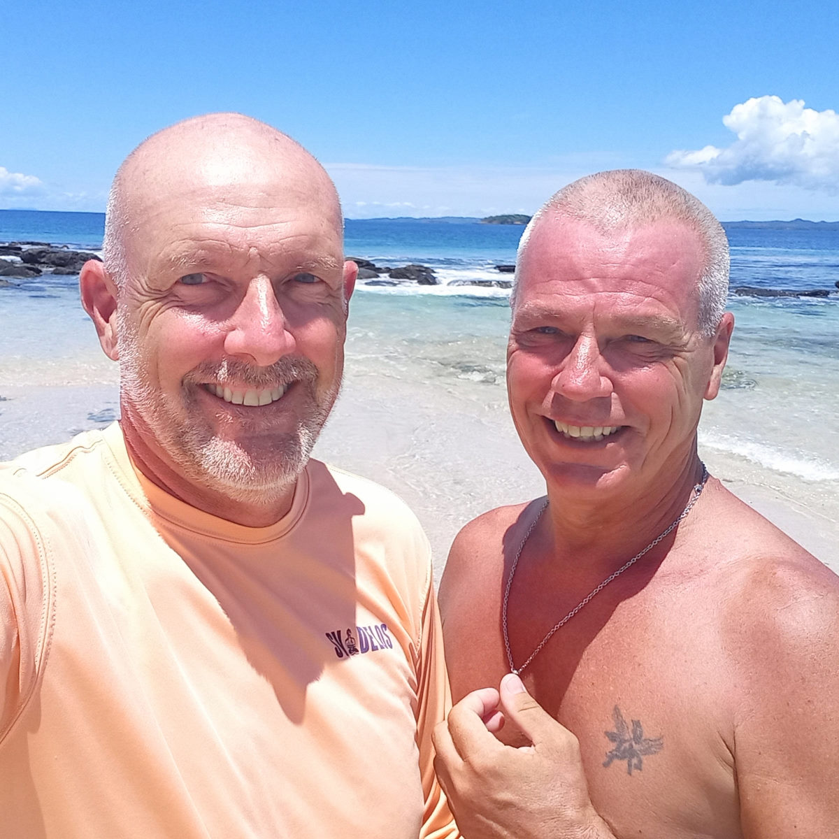
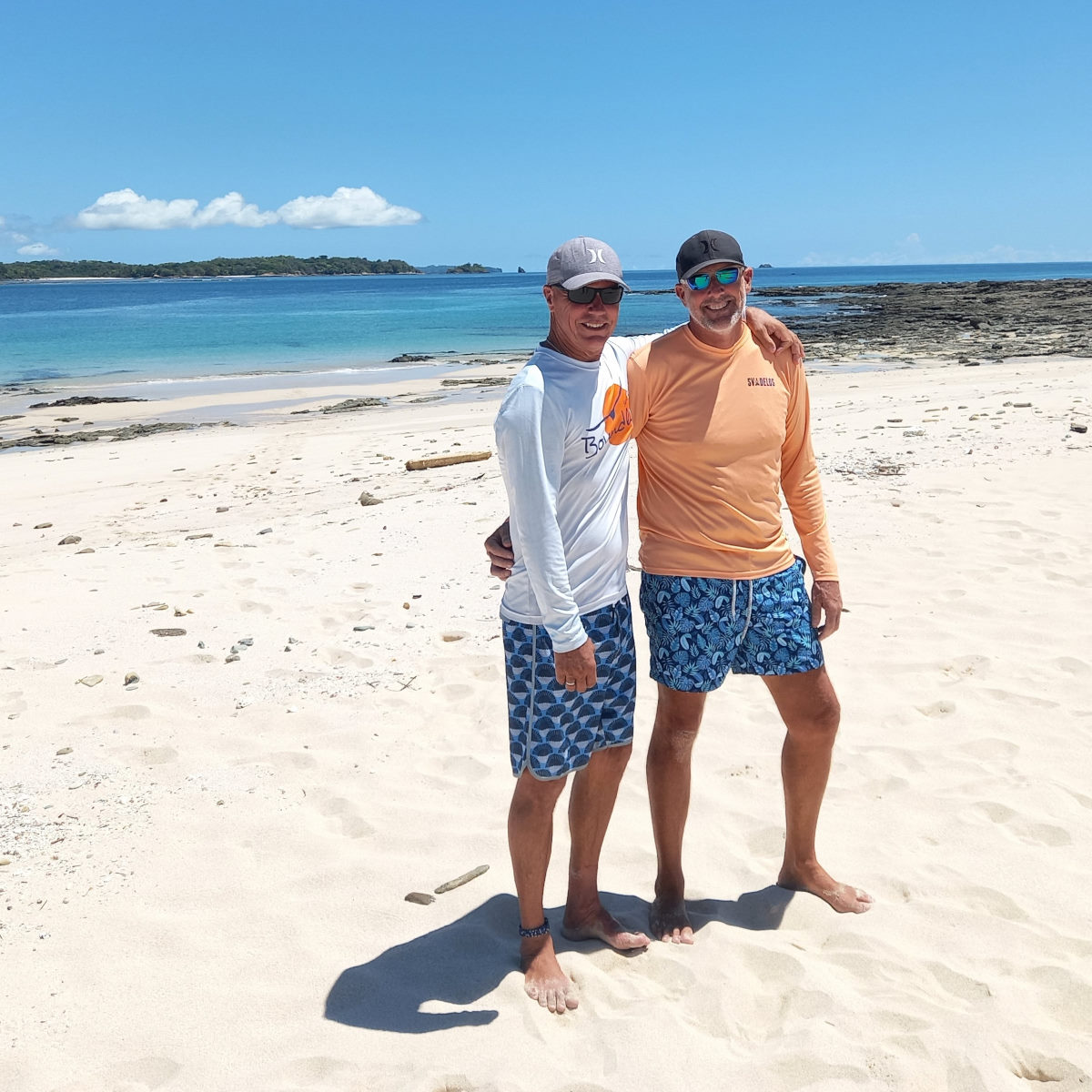
We spent nearly a week at this anchorage. BOHEMIA and MATILDA joined us a couple of days after we had arrived and we had a good few days enjoying the beautiful beach (less busy after the Easter weekend) We swam in clear water we had not seen since the Sea of Cortez, we played KUUB, and had a lunch in the beach restaurant.

Isla Gamez to Parida South
| DATE: | 22 April 2022 |
| DEPARTURE: | Isla Gamez |
| DESTINATION: | Osla Parida (South Anchorage) |
| DESTINATION LAT/LONG: | 008° 05.5933N 082° 20.2874W |
| TRIP: | 7.22nm |
| ENGINE HOURS (at Destination): | 936.5 |
We were reluctant to leave beautiful Isla Gamez, it’s almost perfect beach, the beach bar, and perfect swimming, but given various reports that the real jewel of an anchorage around Isla Parida was the protected cove at the south end (and given we had been at Gamez almost a week), we set off on the short trip.
We left the quiet of the anchorage towing the dinghy and not expecting the big ocean swell. The route also took us through a maze of small islands and reefs. At one point we ran over a palm frond and heard a ‘clunk’ but after a few turns of the wheel and putting the boat back into forward gear, all seemed okay, but we never saw the frond appear behind the back of the boat, so I still dived under the boat when we arrived to check all was fine.
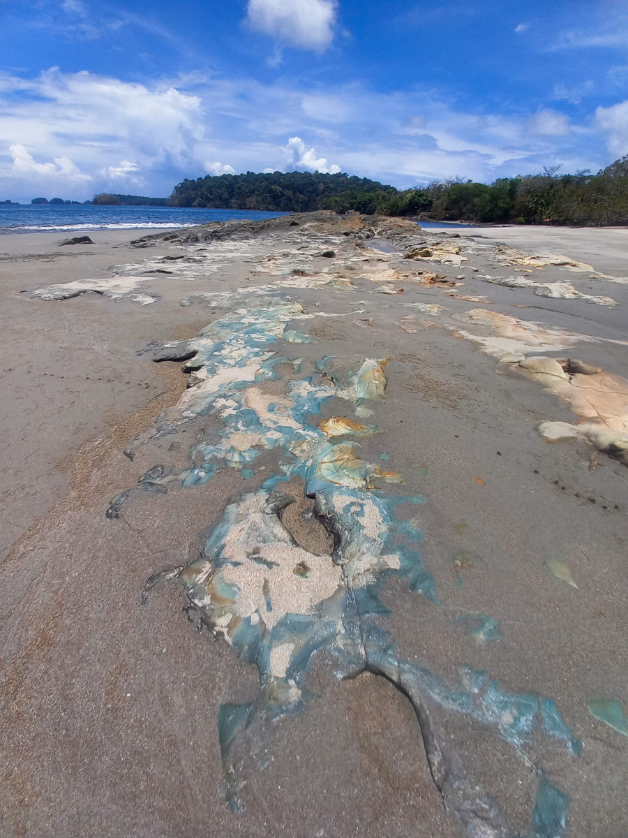
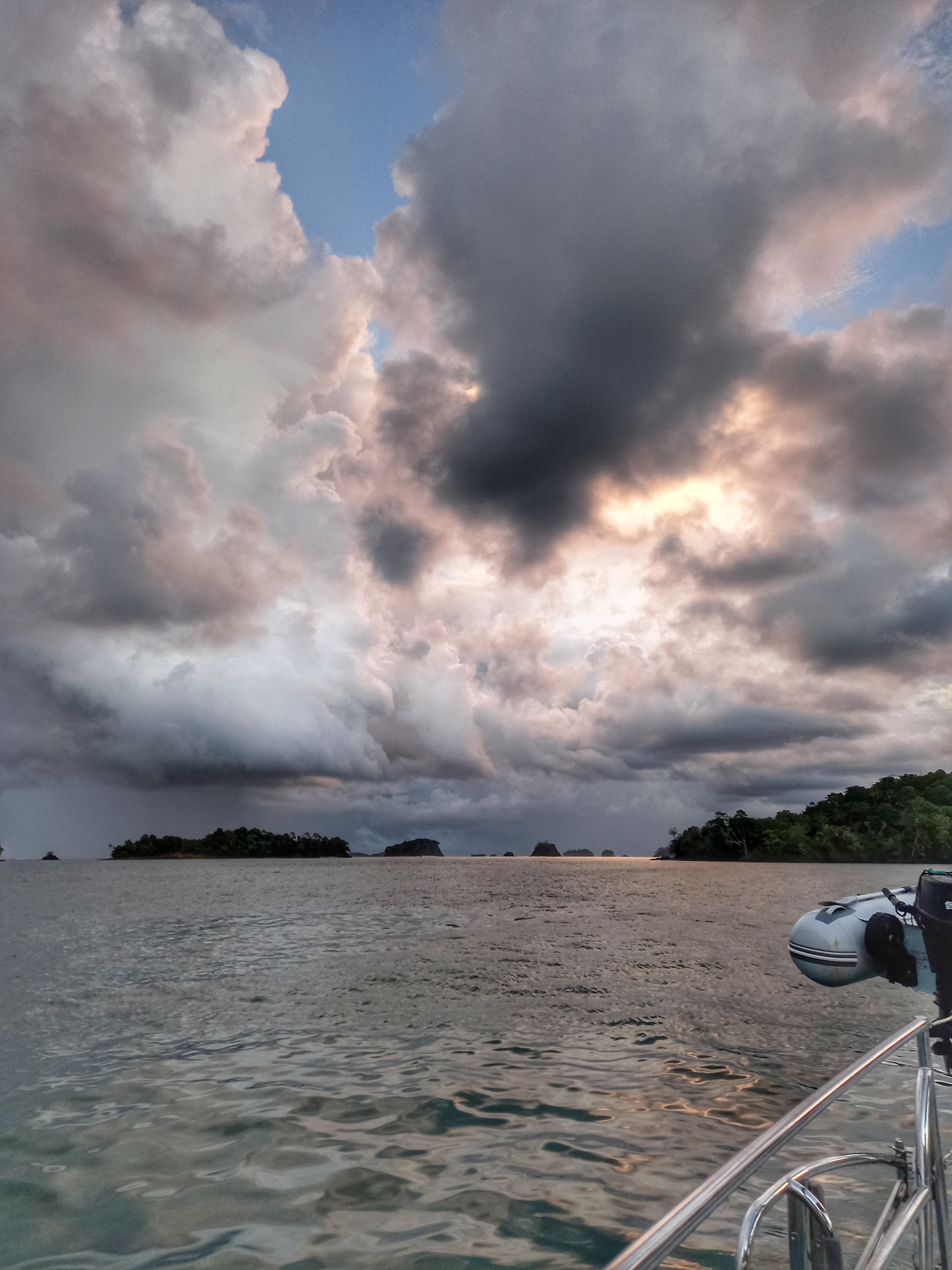
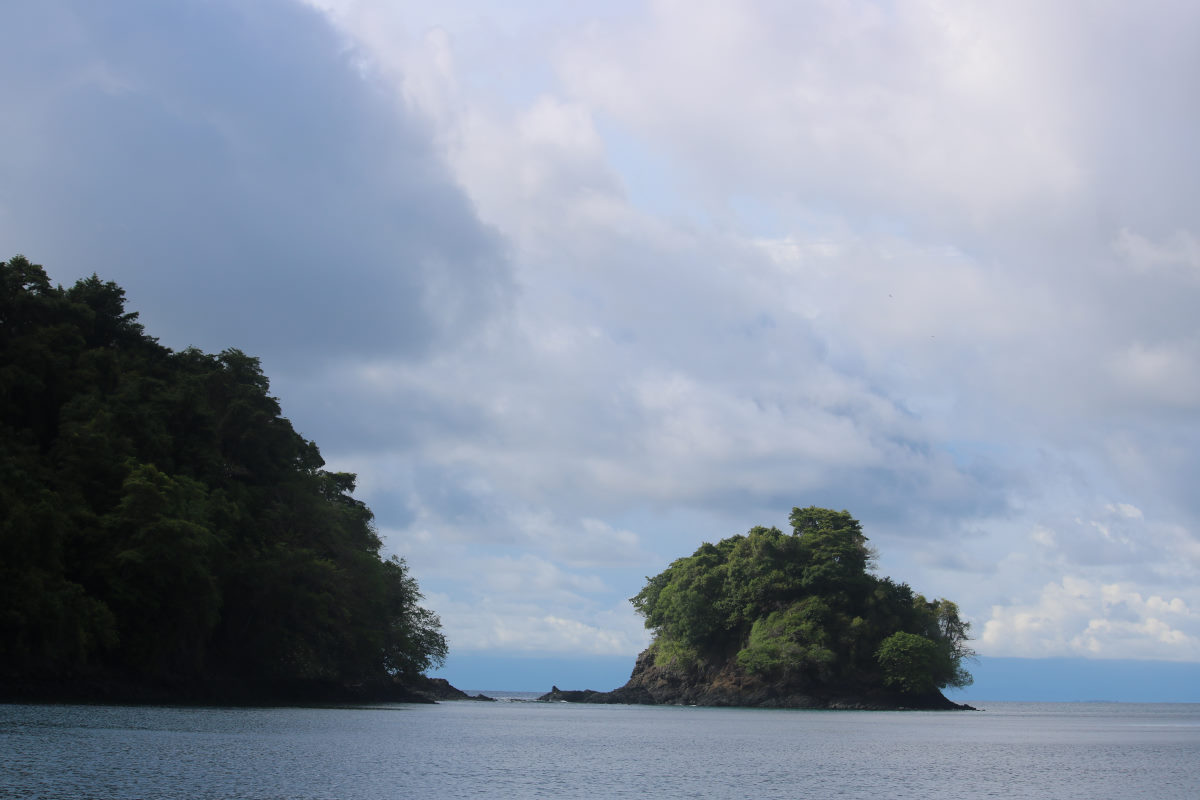
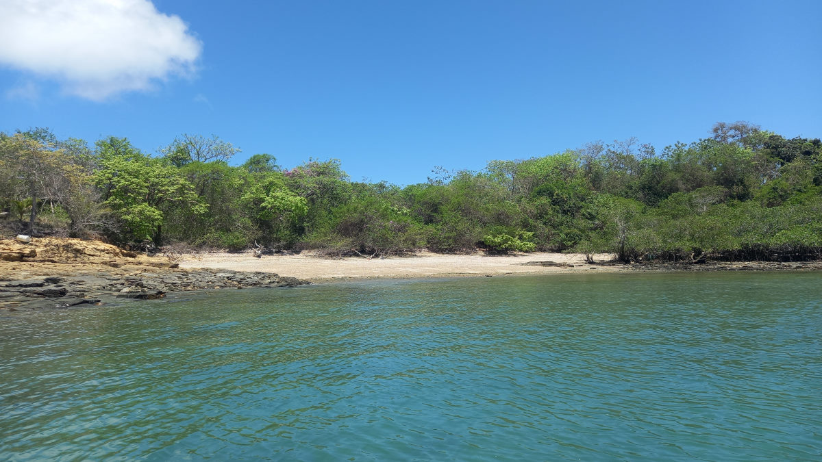
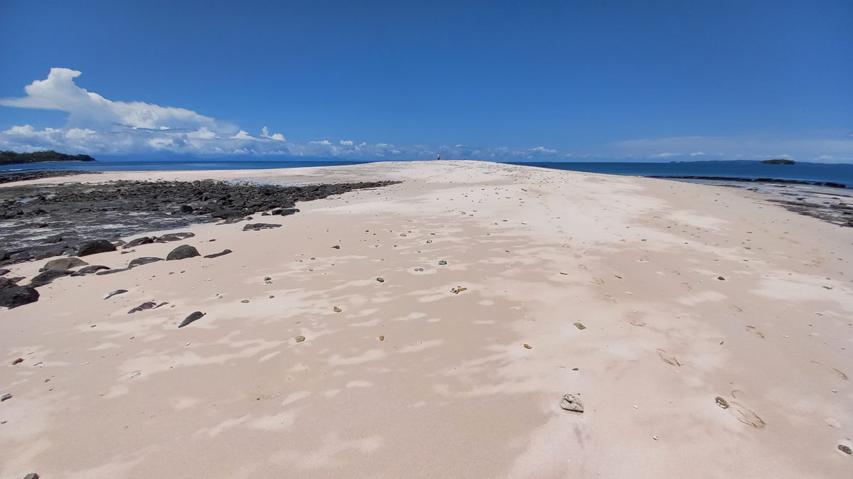
We have learned that other people’s experiences are highly dependent upon the prevailing conditions and a report of the anchorage as “calm” and “lake-like” does not mean that those conditions will be what we find, and this anchorage was entirely a case in point. While it is exceptionally beautiful, it is open to the south through a wide but shallow pass that causes surf to crash at low tide and the swell to have the due effect on the comfort level. Bohemia set a stern anchor, but given the look of a few thunder clouds around, as well as the hassle involved in deploying and retrieving, we had no intention of doing the same, and accepted the likely rolly night ahead.
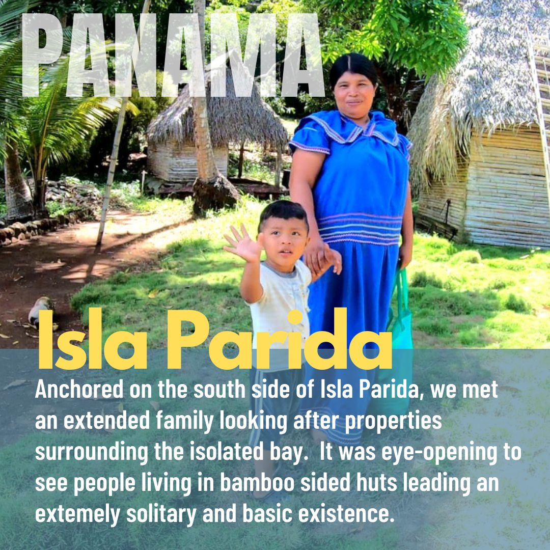
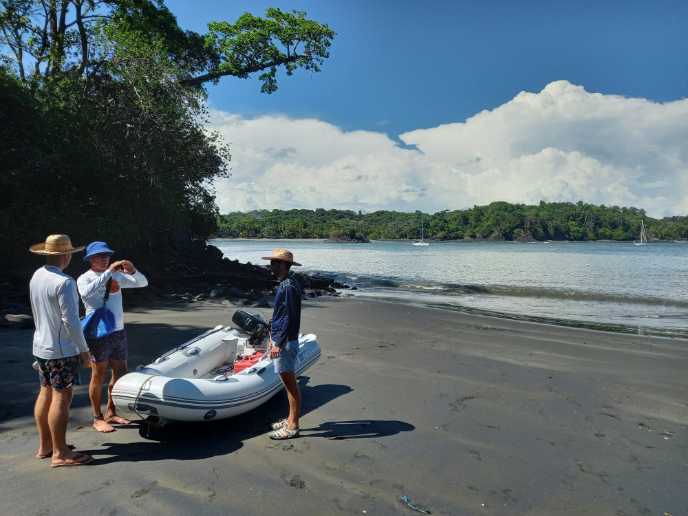
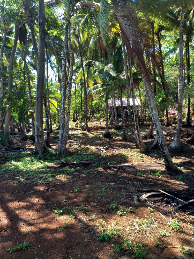
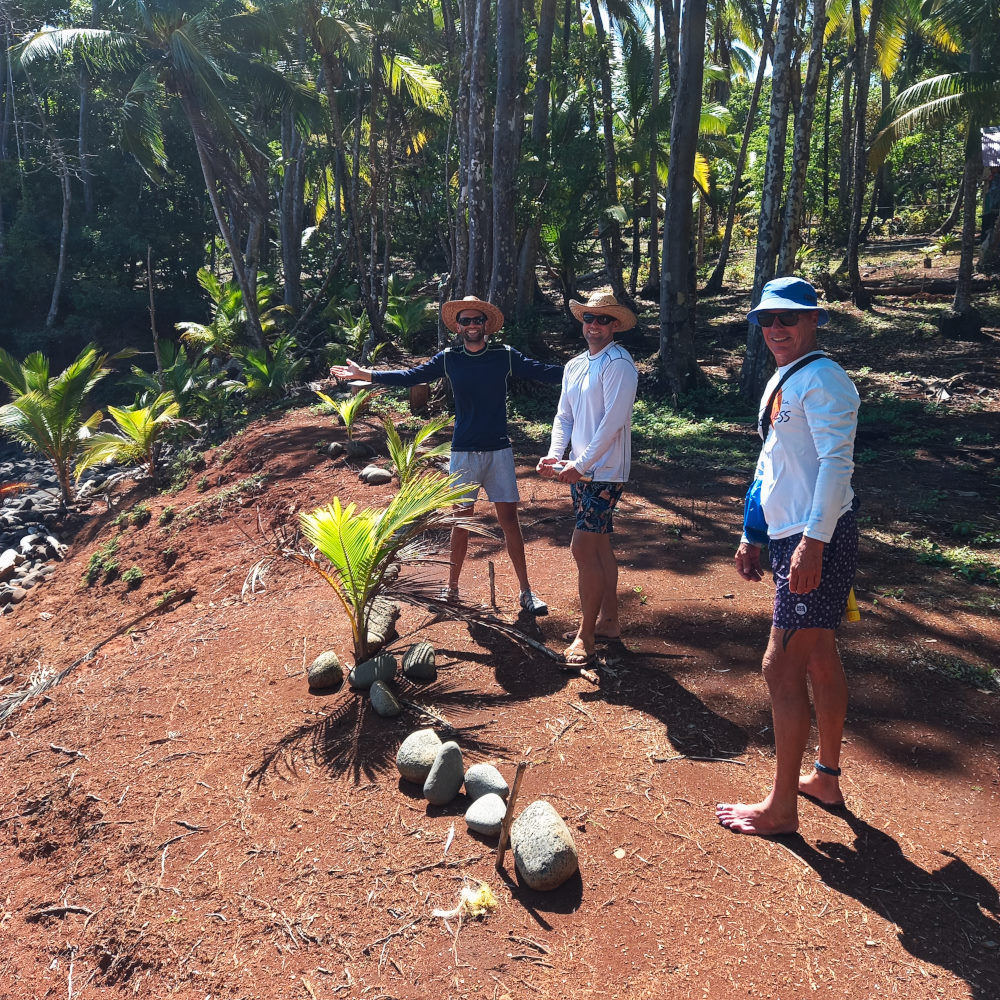
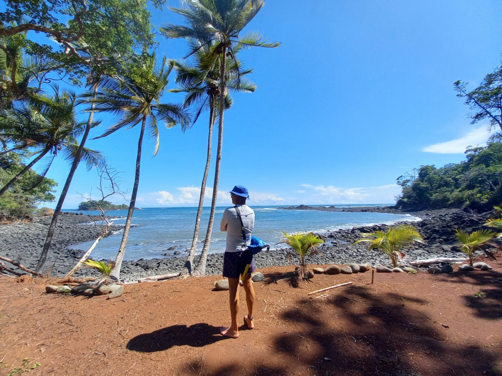
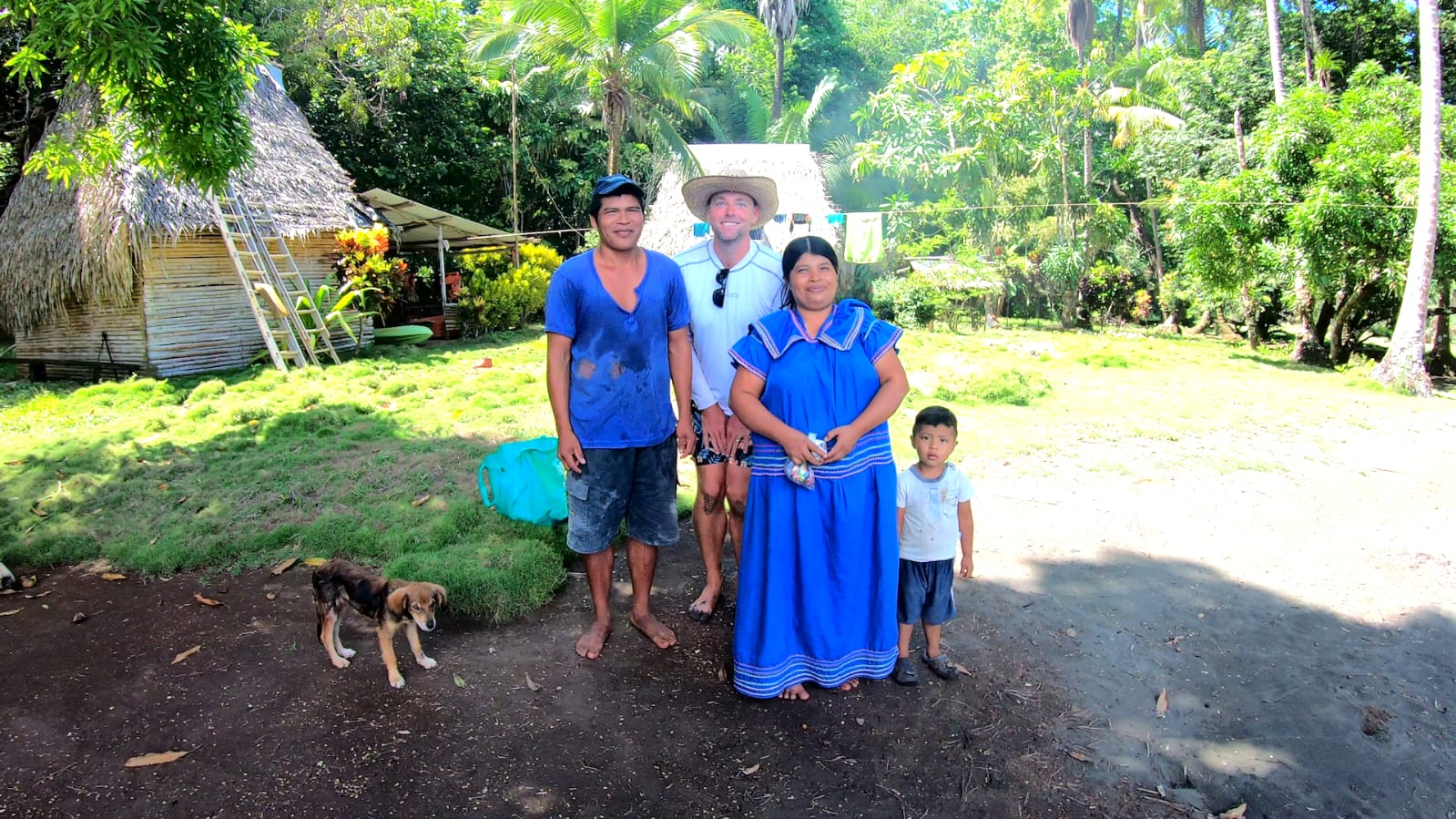
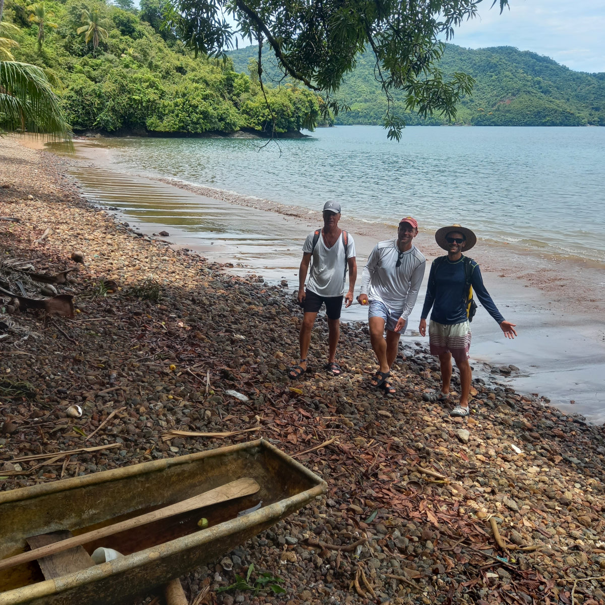
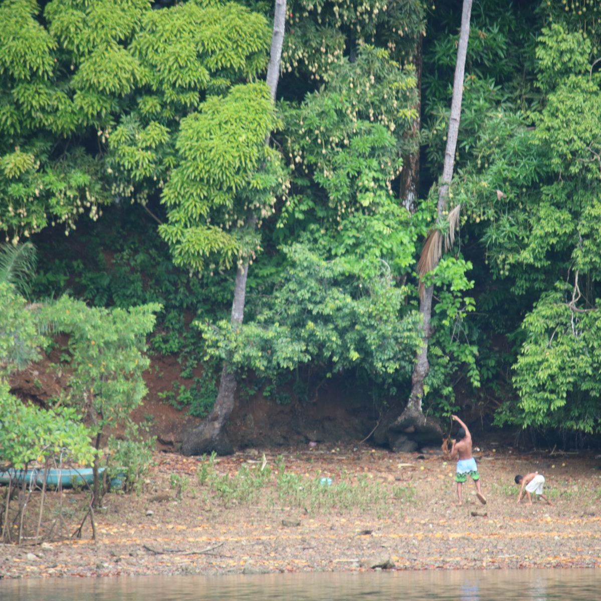
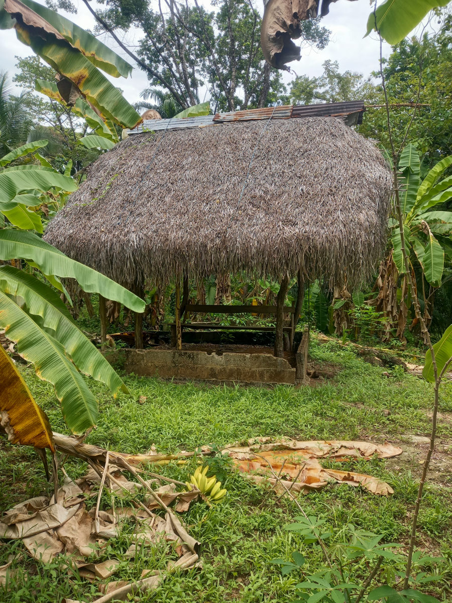
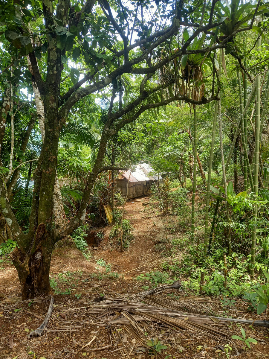
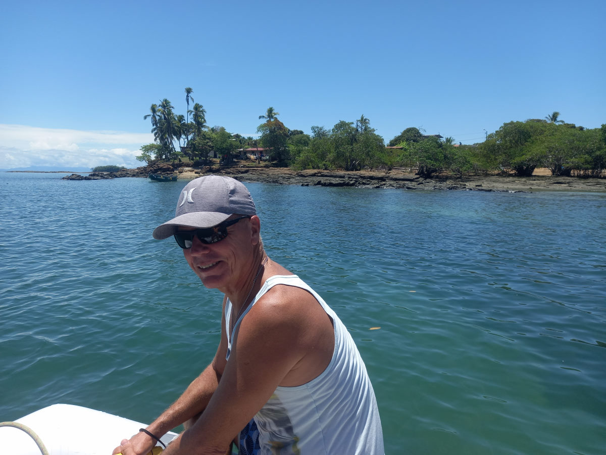
Seeing the various beaches around, and traces of activity on a few of them, we dropped the dinghy, collected Peter and Tom and made a circuit of the bay, first to beach in front of a house advertising cabins for rent. From here we walked over a slight elevated area to see out to the south with a spectacular view of reef, surf, and small islands. The next stop was a beach where we waved at a guy raking, while his wife and children were doing washing under a palapa structure. This apparently is the site of the fresh water tap supply to the entire bay. Next a third beach where we talked to a man with a dog, and a skinny looking puppy who followed us as we walked the beach. The guy told us that his brother was the caretaker on the beach opposite, located on the private Island of Pardidita. Here were found José, his wife and small child, Diego.
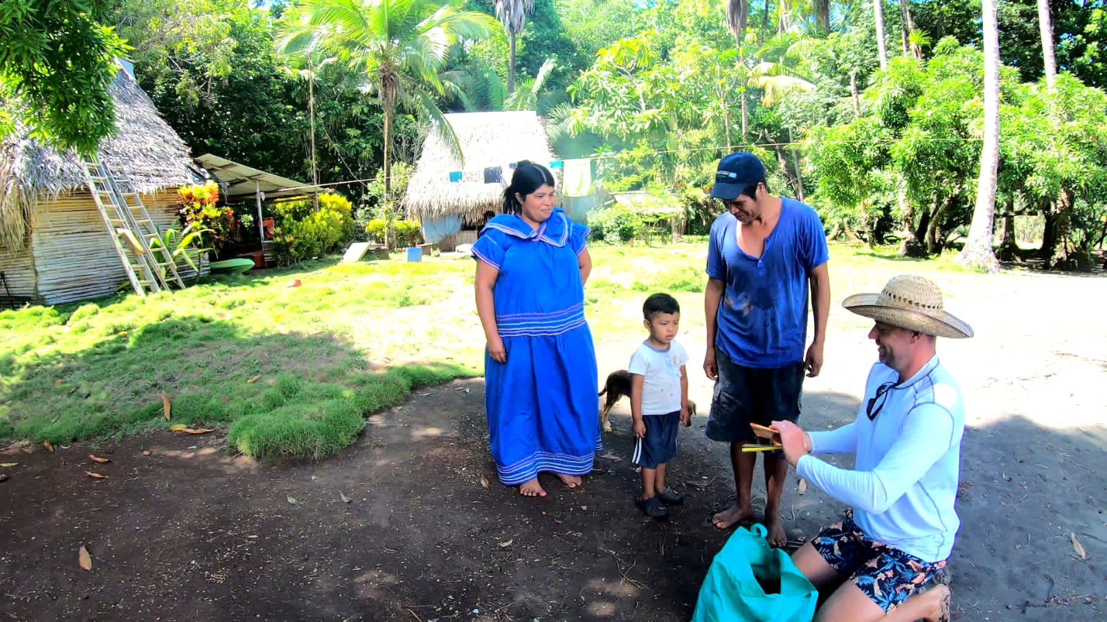
Talking with José, we learned that the island, which had been reported as for sale in the cruising guide, had been sold a few years ago to an American who had a cabin on the island. José and his family lived in a basic hut with bamboo walls and a roof of fronds. He swept the beach with a rake and looked after the island. His settlement was adjacent to a marshy area that apparently filled to a small lake in the rainy season and was home to small crocodiles. He was happy to show us around and asked if we would bring him any spare clothes we might have.
Of note was that in each of the stops we made, we were only approached by the men. The woman, dressed in traditional, colorful, full-length dresses stayed in the background. The entire family were of an indigenous decent and it would have been interesting to find out more of where they had come from, to arrive in this isolated, but beautiful location . José had been caretaker on the island for fifteen years. It seemed a very solitary life.
I made some bread, and we settled into a night ‘on the roll’.

South Parida to Isla Cavada
| DATE: | 23 April, 2022 |
| DEPARTURE: | Isla Parida, South |
| DESTINATION: | Isla Cavada, Islas Secas |
| DESTINATION LAT/LONG: | 007° 59.3205N 082° 01.7896W |
| TRIP: | 21.4nm |
| ENGINE HOURS (at Destination): | 938.35 |
After a rolly night, the decision was easily made to move on. We stopped by BOHEMIA to give them the news and hand over shorts and a tee shirt for Jose, the caretaker on Isla Pardidita, and also coloring pencils and notebook for his small son, Diego, so that Tom and Peter could deliver them later.
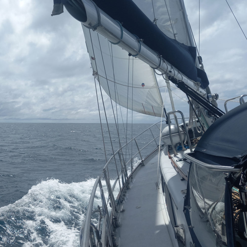
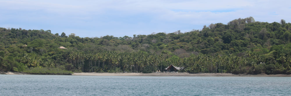
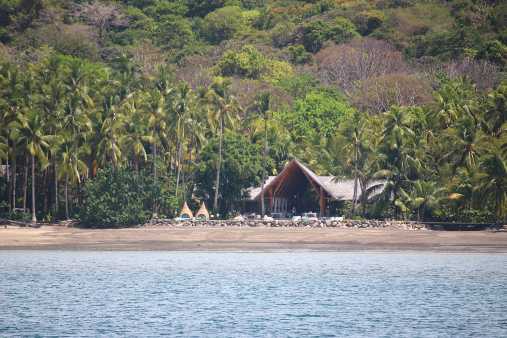
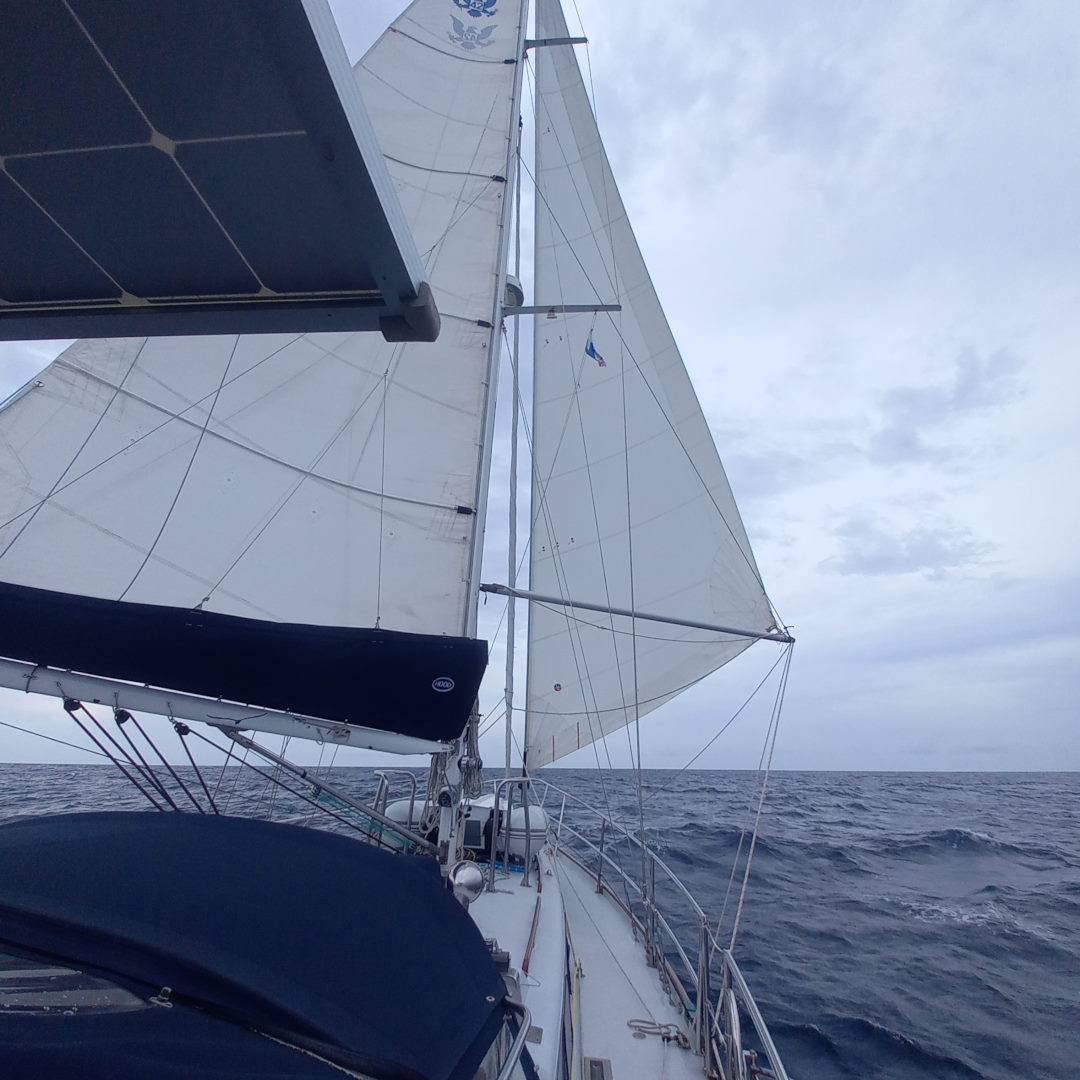
We retraced our track between the islands and rocks to make our way out to open water, and by the time we got there the wind was filling in nicely. We raised the sails, turned off the engine and had a lively sail in 14 to 20 knots of wind, the boat averaging close to 7 knots the whole way over. Despite the choppy swell that left a few splashes falling in the cockpit, it was an unusual feeling to have the boat galloping along under sail. This is probably the best sailing we have experienced since way back in Mexico. We made the short 22 miles in great time and negotiated the entrance to the anchorage area on the north side of Isla Cavada. We had read in the Sarana guide that the reported depths were inaccurate and sure enough, the passage in between Cavada and little Isla Tortuga were not 40-50 feet as reported but as little as 19. We dropped the anchor in 35ft in very calm conditions, well protected from the swell and wind waves we had experienced on the other side. From the anchorage we can see the exclusive eco-glamping resort on shore – reportedly we would be turned away if we try to land on the beach in front. We could also see a swimming platform, folks on hover-boards and other comings-and goings associated with the resort.
Isla Cavada to Isla Brincanco
| DATE: | 25 April, 2022 |
| DEPARTURE: | Isla Cavada |
| DESTINATION: | Isla Brincanco |
| DESTINATION LAT/LONG: | 07° 52.066N 081° 47.684W |
| TRIP: | 17.1nm |
| ENGINE HOURS (at Destination): | 939.54 |
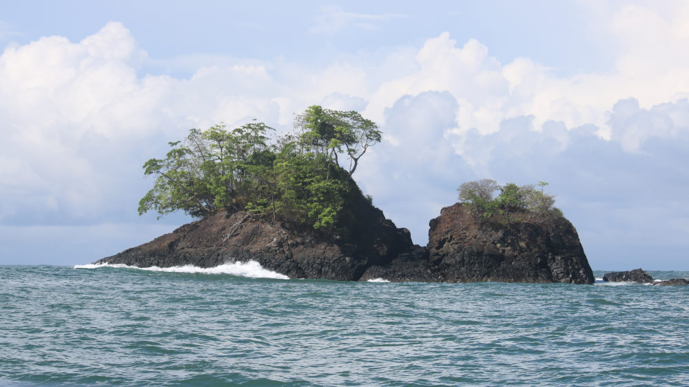
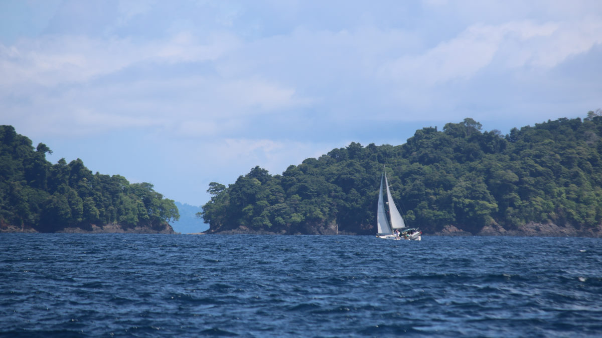
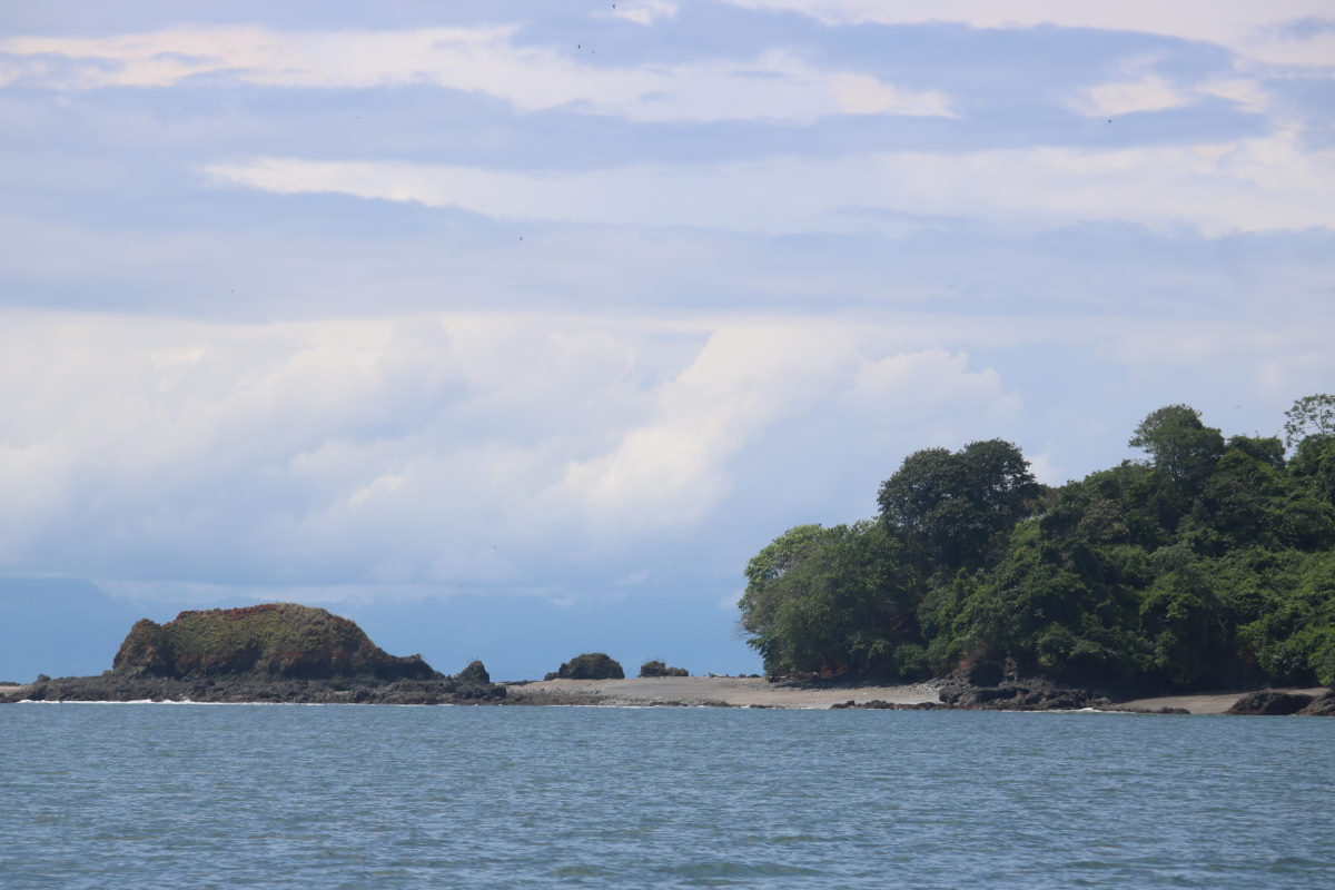
It was a pleasant sail over to Isla Brincanco. Turning around the headland and into the Bay we remarked how much it looked like the Pacific Northwest, and then recalled having read that comment in the cruising guide. It is a very green island with many trees and a dramatic rocky shoreline.
Unfortunately it was clear that the reports of it being a deep cove and ‘difficult to find a shelf’ also turned out to be true. We tried one spot that looked good from the Navionics charts but we were still in 60 feet of depth when we were uncomfortably close to the shore. We moved to the other side of the bay and found a spot behind BOHEMIA. With the tides and the narrow shelf, we took some time to measure depth around us and were just out of reach of a piece of reef that would have just 8 feet over it at low tide. We settled in, but kept the depth instrument on much of the time, and did find ourselves in 10 feet at one point, having anchored in 35.
The Island really is quite spectacular however, and we spent a couple of days her, touring the shoreline in the dinghy, but given it was high tide at this point, the beach had disappeared, and we actually went snorkeling over the couple of reefy areas.
Brincanco to Bahía Honda
| DATE: | 27 April 2022 |
| DEPARTURE: | Isla Brincanco |
| DESTINATION: | Bahía Honda (Townsite) |
| DESTINATION LAT/LONG: | 07° 45.1137N 081° 30.7770W |
| TRIP: | 21.3nm |
| ENGINE HOURS (at Destination): | 943.03 |
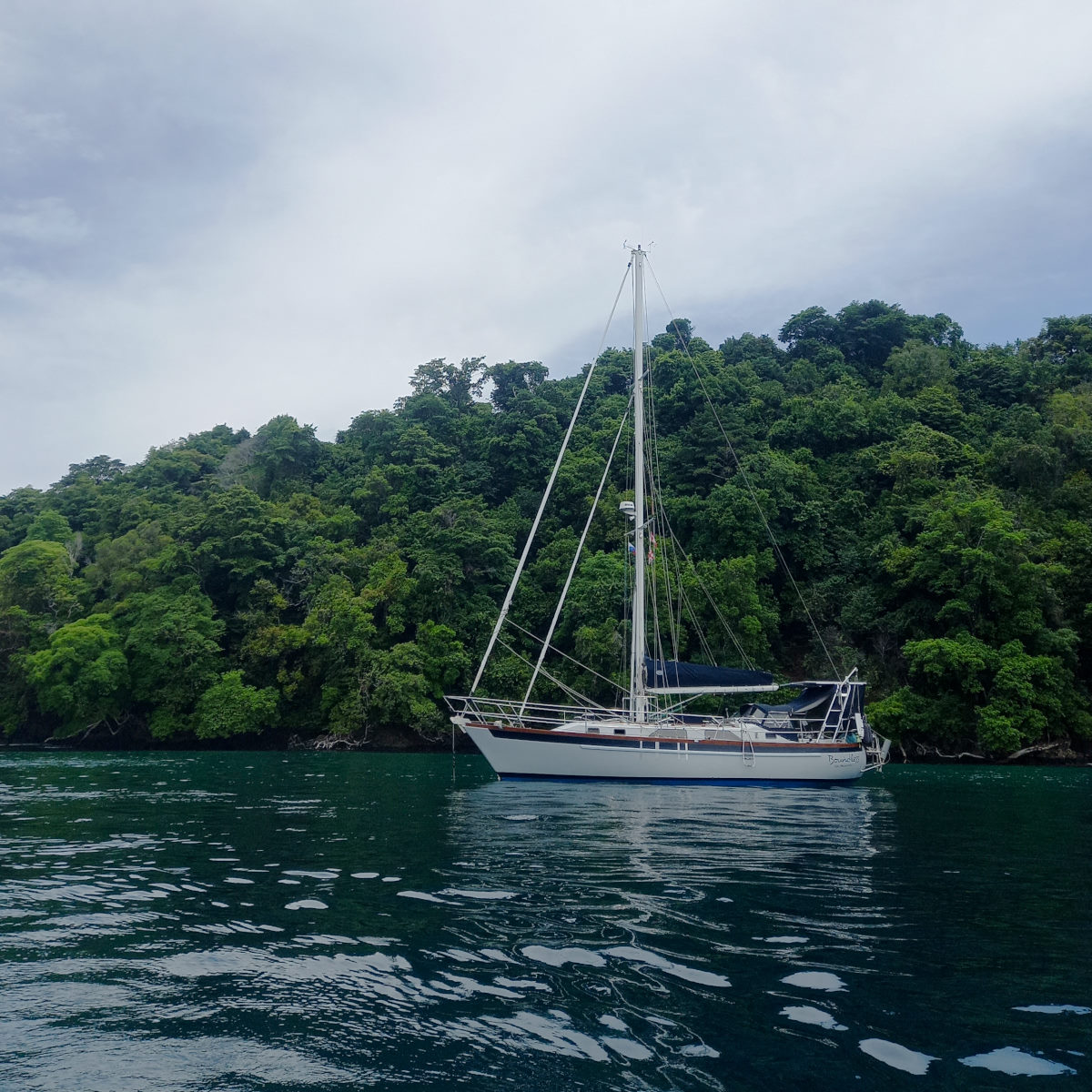
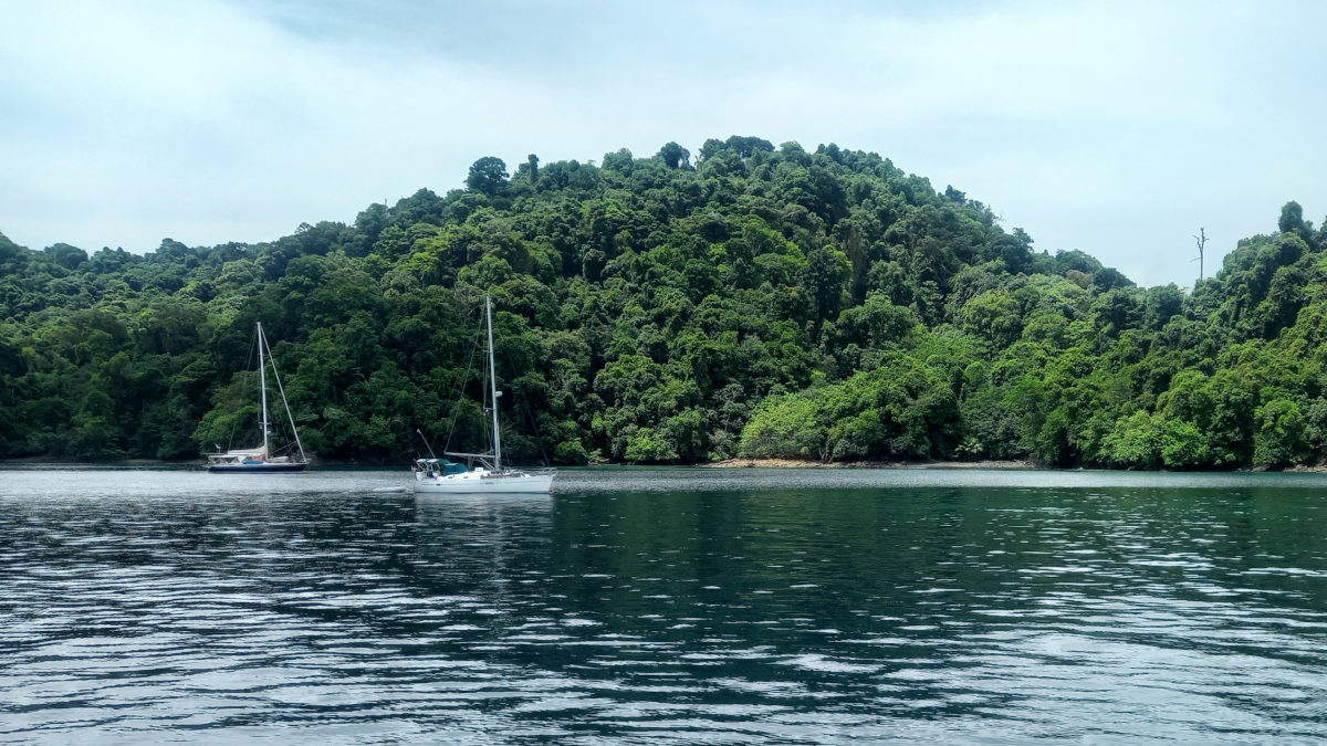
We left Brincanco with the initial intention of checking out an anchorage at Isla del Canal de Afuera, however, with the reports that it was another deep anchorage that would be potentially rolly, and, given that the attraction of Bahía Honda was just around the corner, we told BOHEMIA we would skip the Isla and go direct to Bahía Honda, reportedly the most comfortable anchorage in Western Panama.
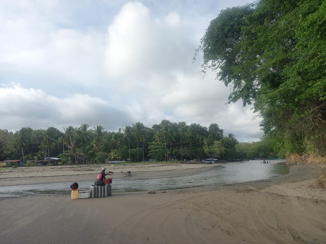
At this stage we had visited a number of challenging anchorages, either rolly with swell, difficult to anchor in, or both, and also mostly remote with limited shore options. The idea of Bahía Honda with its wide open anchorages, no swell and also, the opportunity to be visited by locals, and go to the townsite, was all very appealing
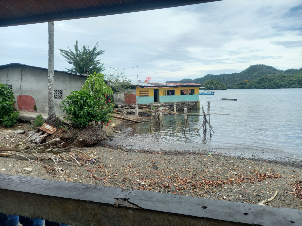
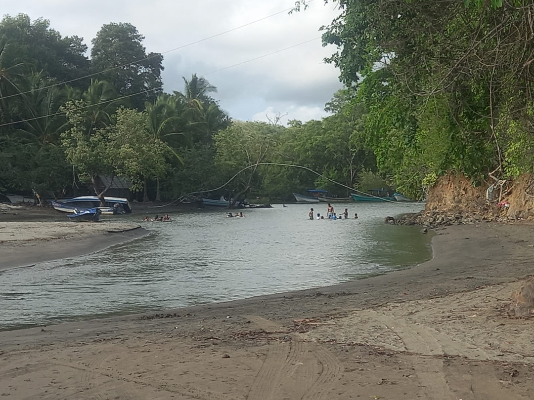
Entering the enclosed bay the swell immediately disappeared, and we continued in flat water around Isla Talon, the main populated island where the townsite is located. We easily dropped the anchor, and were soon approached by our first visitors.
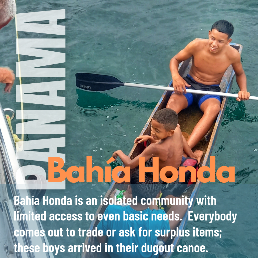
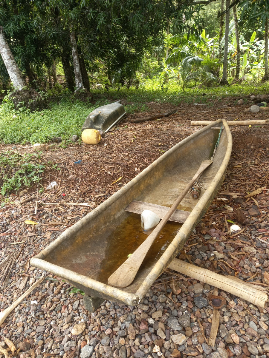
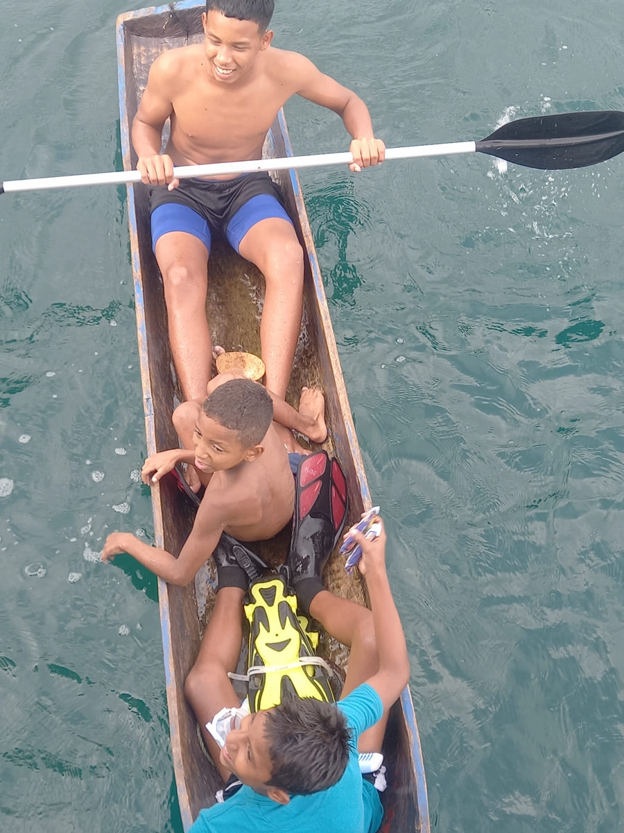
Bahía Honda is a remote community with very few resources. We had been advised to collect surplus clothing, batteries and food that we had on board and be prepared to give them or barter for anything offered by the locals. During our couple of days we had numerous visitors, including two sets of boys in dug-out canoes. One couple of brother we saw knocking mangos off a tree close by on shore. After some time, they gathered enough that were in presentable shape and launched their painted dug-out canoe to come out and trade. We gave the older one some clothes and the younger one some coloring pencils, a book, and some candy. We had a variety of other visitors including an older couple who came with on egg and a mango for trading, likely all they had, and we were happy to give them some of our surplus canned food and some clothes.
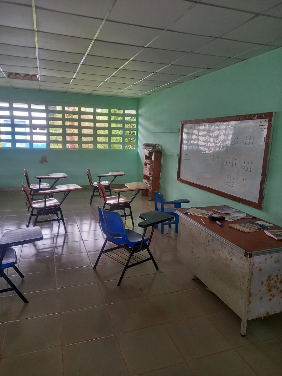
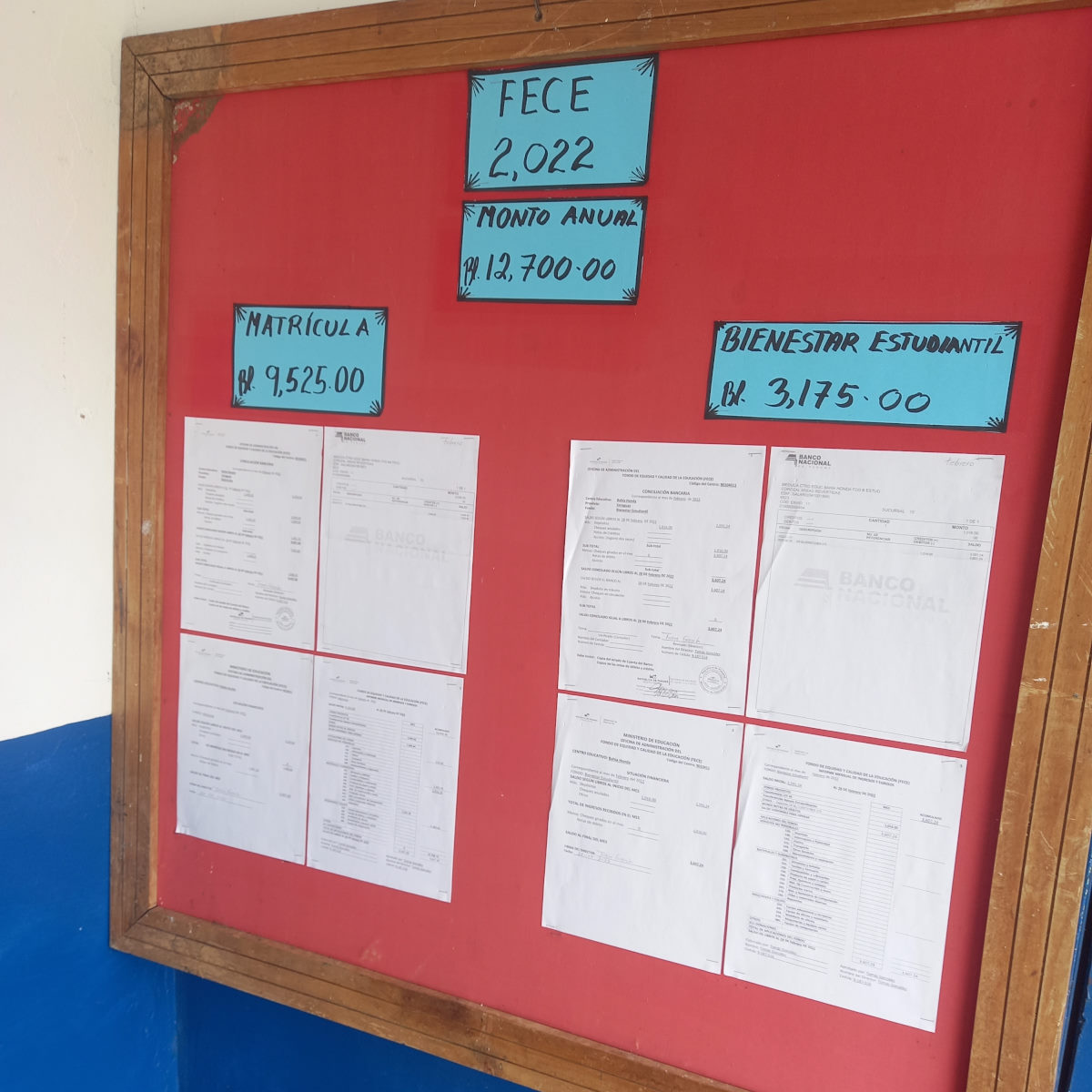
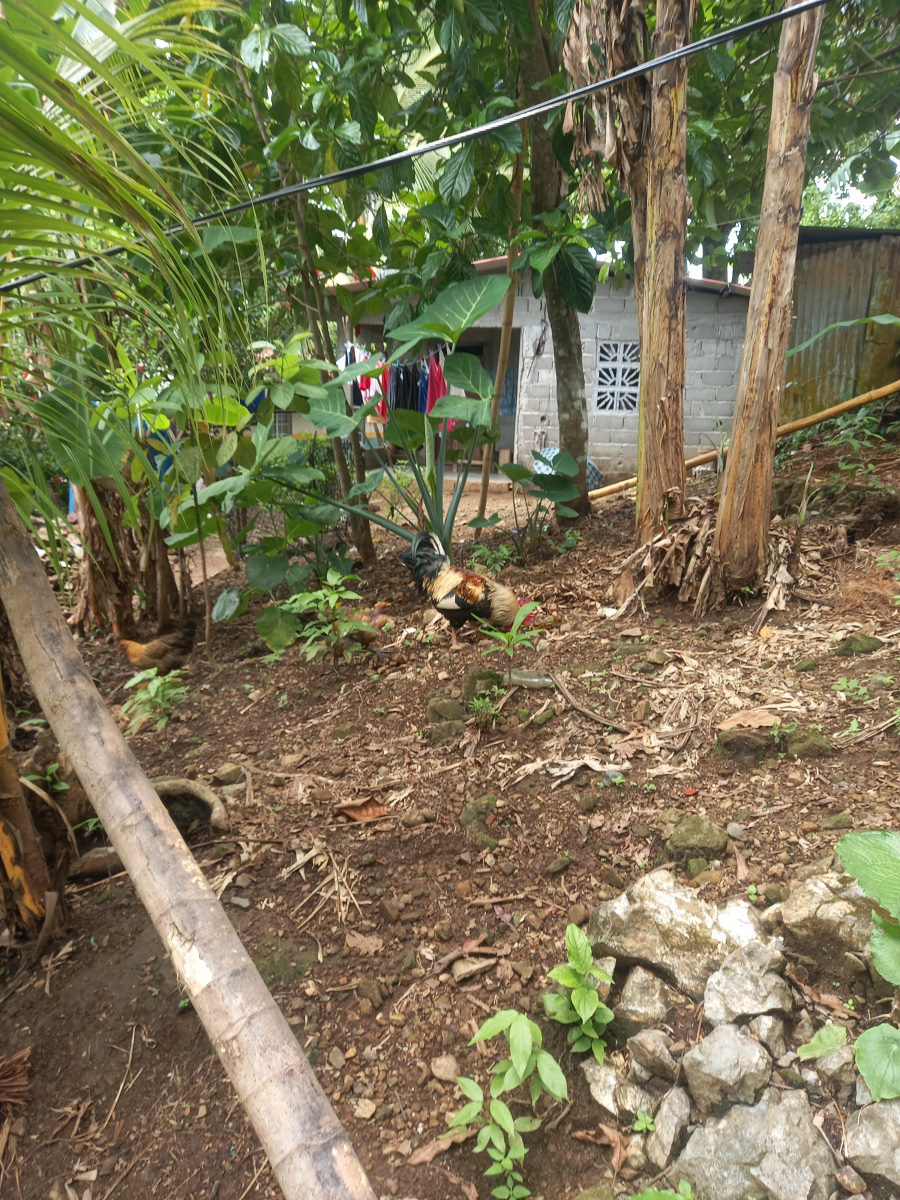
A trip to shore was quite the eye-opener. The living conditions on the island were basic indeed, the grocery store had little except staples such as rice and flour, some cans of spam and tomato sauce. The only fresh items were onions and garlic. Taking a stroll over to the other side of the island we were surprised to find a relatively smart looking school, and peering inside the classrooms, it was clearly very much a school like any other. We chatted with a teacher and learned that there are 44 students and the school caters to children from 6 years to 14. There are two ‘profesores’ and ten ‘maestros’. On a bulletin board at the school is a notice describing the funding for the school; a total of $12,700 for the entire year.
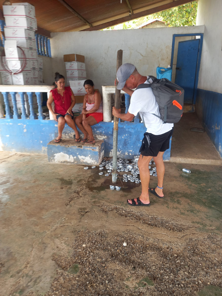
There was no restaurant in Bahía Honda, just a bar where we found two women crushing cans with a steel pole. Despite the bar having no tables and apparently a choice of only beer or white rum, we ordered some beers, and then were encouraged to buy beers for the two women. Judging by the smell of the cans of beer, they shared the refrigerator with fish. One of the women asked if we had any medication for pain for her mother who was having some issues with her shoulder and losing mobility in her arm. There was clearly no medical resources available, and we returned later with Advil. We also gave treats to a couple of dogs in the bar. They, as well as the other dogs we saw on the island were in terrible condition, most were completely flea ridden, some with little hair.
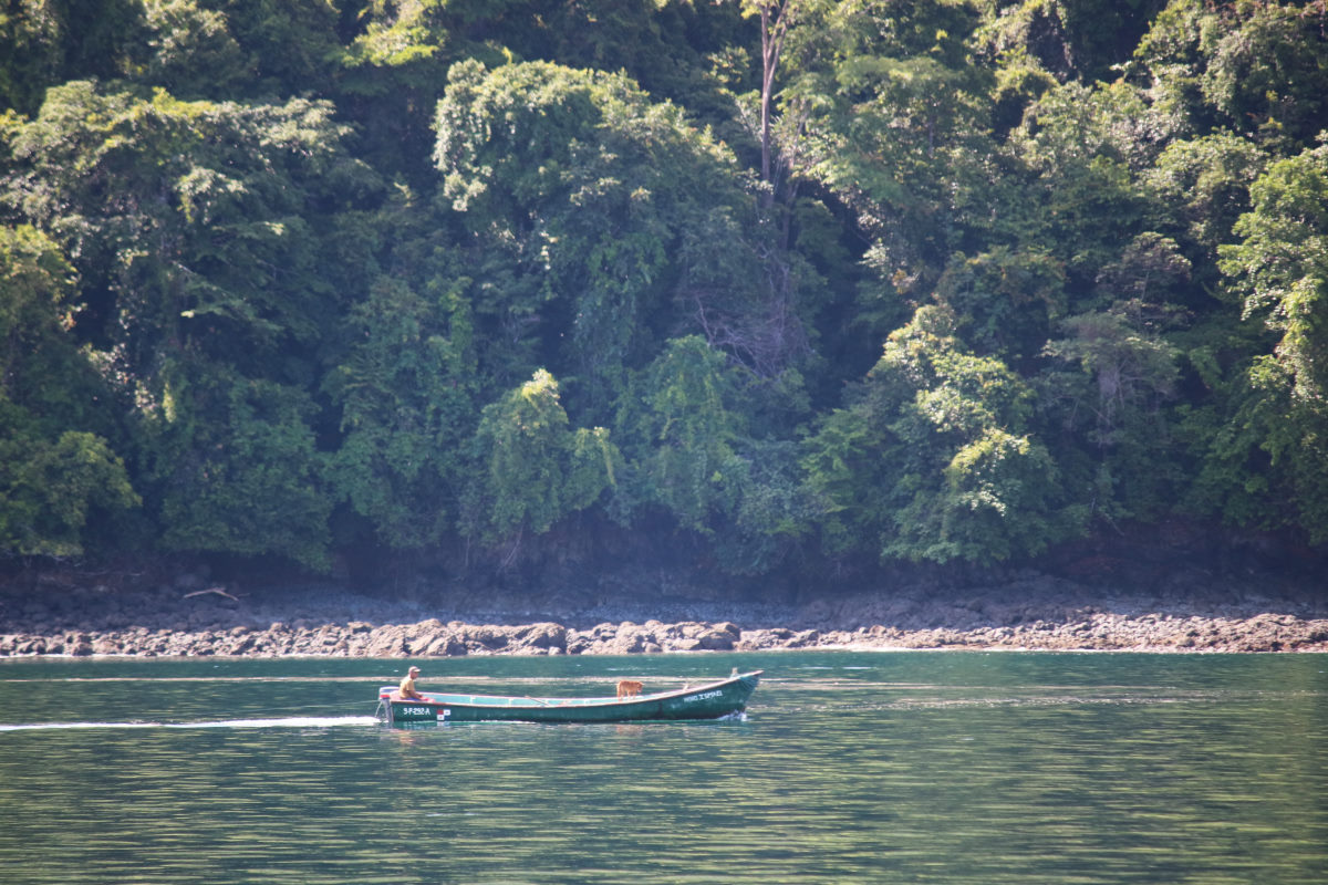
Bahía Honda was a highlight of Western Panama for us. It was a glimpse into a culture that was both beautiful, and desperate. Chatting with one 18 year old local, it was clear he had little prospects, and only occasionally left the island. While there were fishing pangas around, according to one fisherman, if he did catch fish, he had to travel a four-hour round trip by panga to sell it. Bahía Honda left quite the impression on us, and on Tom and Peter from BOHEMIA, and judging by our numerous comments over the following days the people we met were very much in our thoughts.

Honda to Catalina
| DATE: | 29 April 2022 |
| DEPARTURE: | Bahía Honda |
| DESTINATION: | Isla Santa Catalina |
| DESTINATION LAT/LONG: | 07° 37.5335N 081° 16.3772W |
| TRIP: | 21.6nm |
| ENGINE HOURS (at Destination): | 946.39 |
Preparing to leave bahía Honda we were warned by one of our new panga friends to watch for the water pipe that had floated to the surface. The pipe is the only supply of water from the mainland to the island, and made of plastic and with air inside, it sometimes floats, impeding the traffic around the Island. The panga driver was kind enough to guide us out past the pipe, and we were grateful for not having risked becoming responsible for dragging the townsite water source with us as we left.
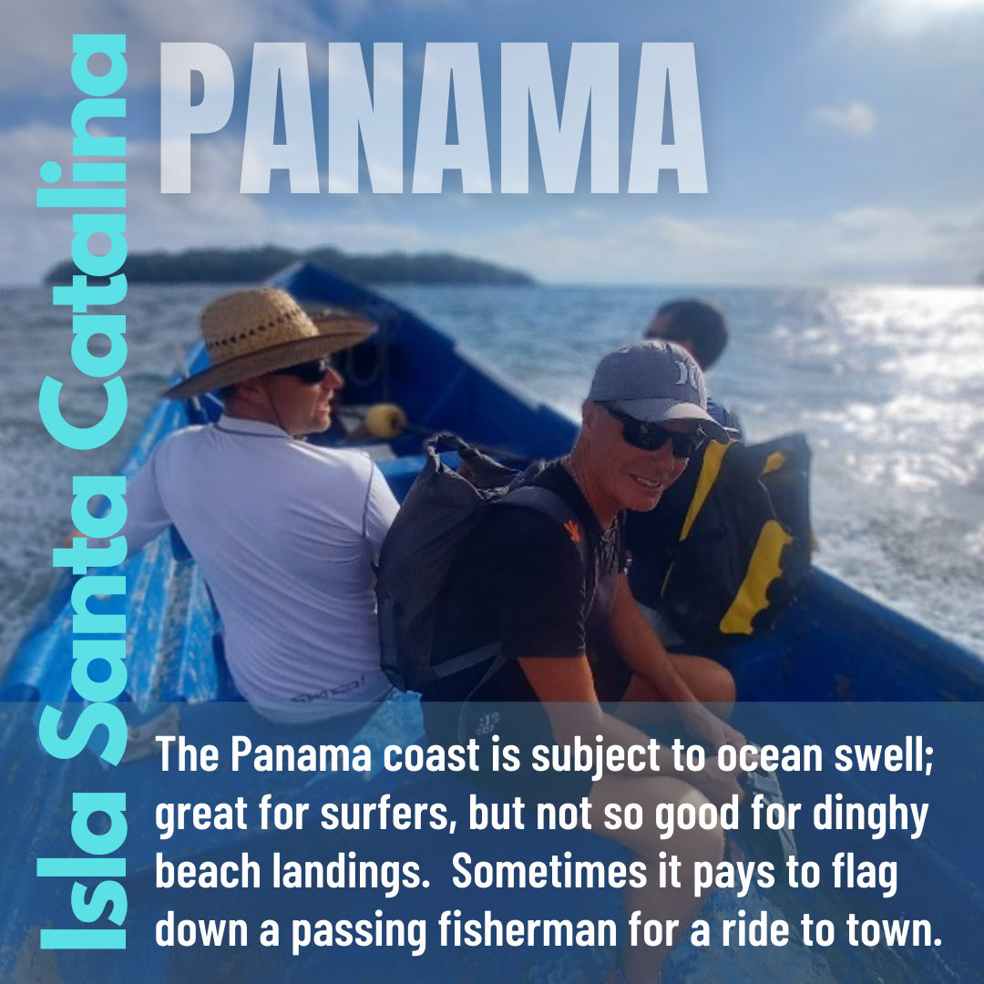
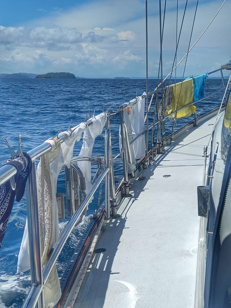
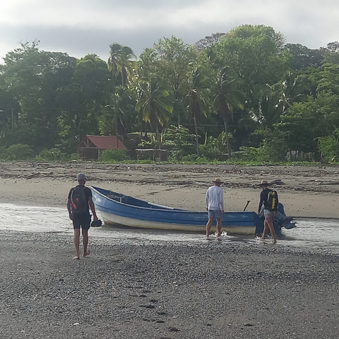
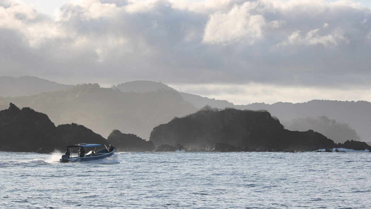
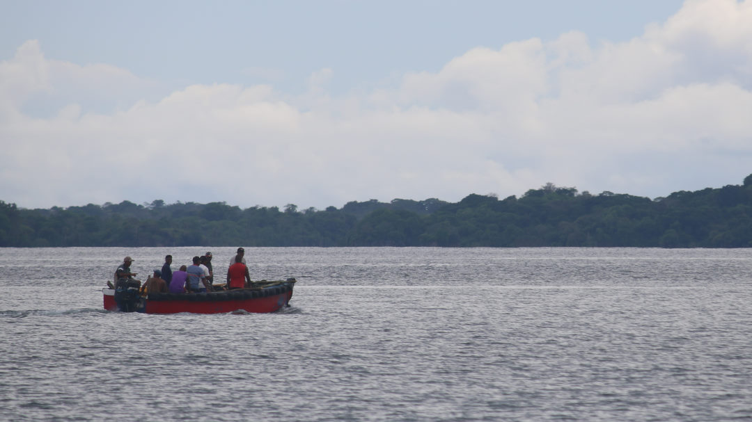
We enjoyed a pleasant sail over to Santa Catalina. Once at the anchorage we looked at the surf on the beach, and ruled out a trip to shore (the cruising guide had described it as potentially thrilling) so we were just settling in for an afternoon on the boat when BOHEMIA called with the news that Peter had flagged down the fishermen we had seen as we came into the anchorage, and they were willing to take us to shore, and back.
The trip in the panga involved a bouncy ride along with blood swilling in the floor and a large rooster fish that had been half fileted, and a chunk of it sold to Peter. The crew were extremely friendly, and the driver very expertly negotiated the swell, using one sideways wave to lift the boat over the bar, and into the small, but deep channel.
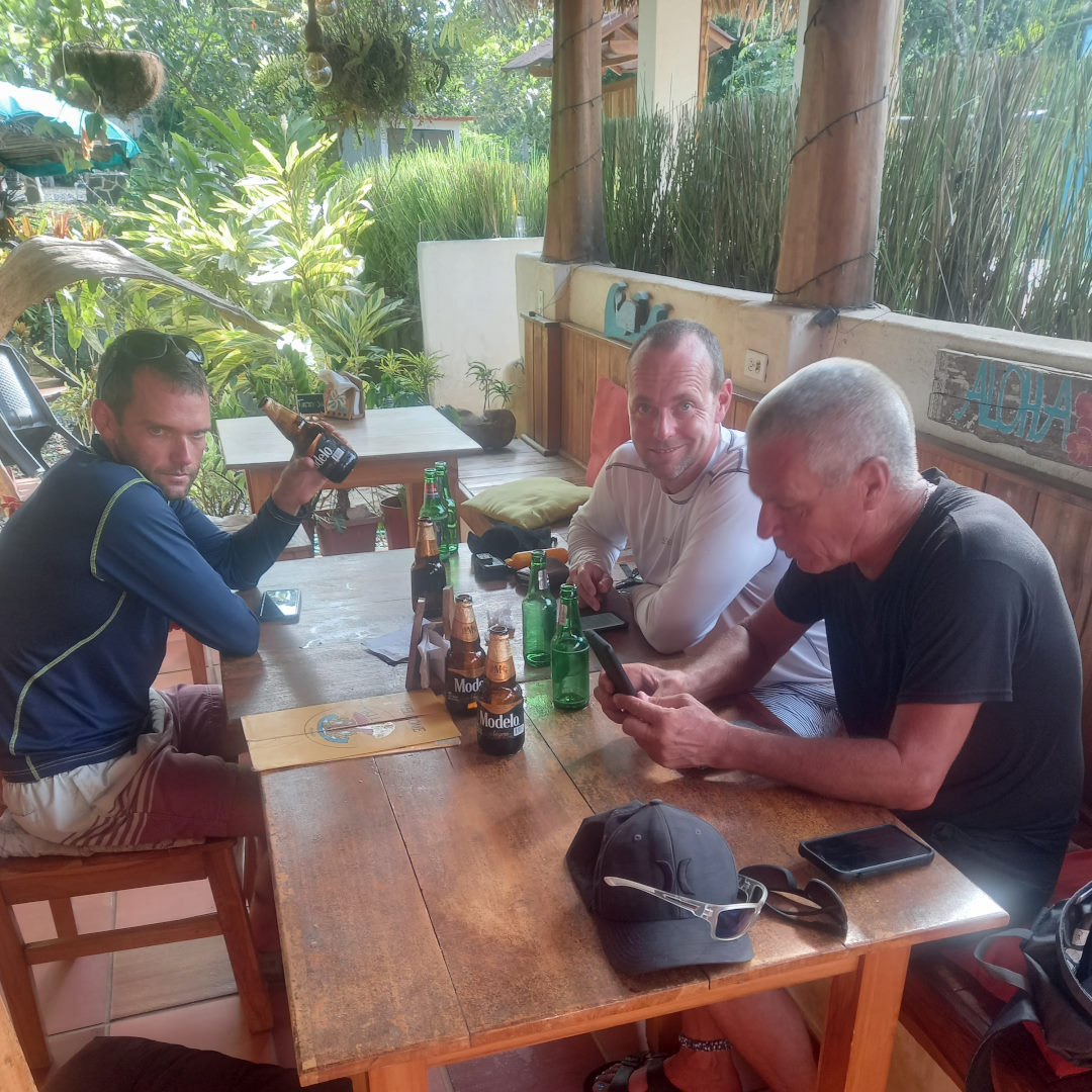
The small townsite is comprised of a few stores and a small surfing tourist element. This meant there were a few restaurants, and we were very happy to grab a quick meal before our pre-arranged panga ride back to the boats.

Catalina to Cebaco
| DATE: | 30 April, 2022 |
| DEPARTURE: | Isla Santa Catalina |
| DESTINATION: | Isla Cebaco |
| DESTINATION LAT/LONG: | 07° 34.8472N 081° 03.4637W |
| TRIP: | 14.1nm |
| ENGINE HOURS (at Destination): | 948 |
There was an interesting current in the Santa Catalina anchorage, permanently going in the same direction and only varying in strength with the tide. We had experienced this when paddling in the dinghy to BOHEMIA and had to work hard to make upstream progress. Leaving the anchorage, we headed east past the reef that we had seen waves crashing over, and once clear of the obstacles took a fairly direct route over relatively shallow water to east anchorage on the north side of Isla Cebaco.
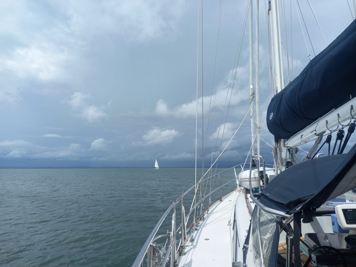
The flat water and the pleasant breeze gave for lake-like sailing conditions and there was some healthy competition between us and BOHEMIA, but as usual, while one may eek ahead at one moment, we pretty much arrive at the same time. With some very dark clouds looming over the anchorage, and a threat of squally conditions, we put the sails away a mile or so out. Evening on board BOHEMIA, playing a game specifically designed for me to lose; singing lyrics to songs that feature the word on a chosen card … WHAT THE …!
Cebaco to Bahía Arena
| DATE: | 1 May 2022 |
| DEPARTURE: | Isla Cebaco |
| DESTINATION: | Bahía Arena |
| DESTINATION LAT/LONG: | 07° 19.455N 80° 54.673W |
| TRIP: | 18.9nm |
| ENGINE HOURS (at Destination): | 951.5 |
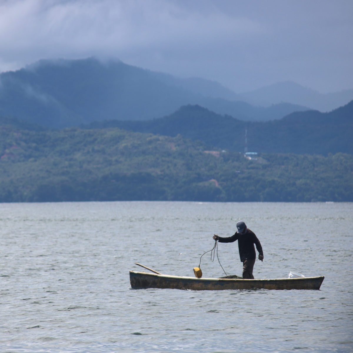
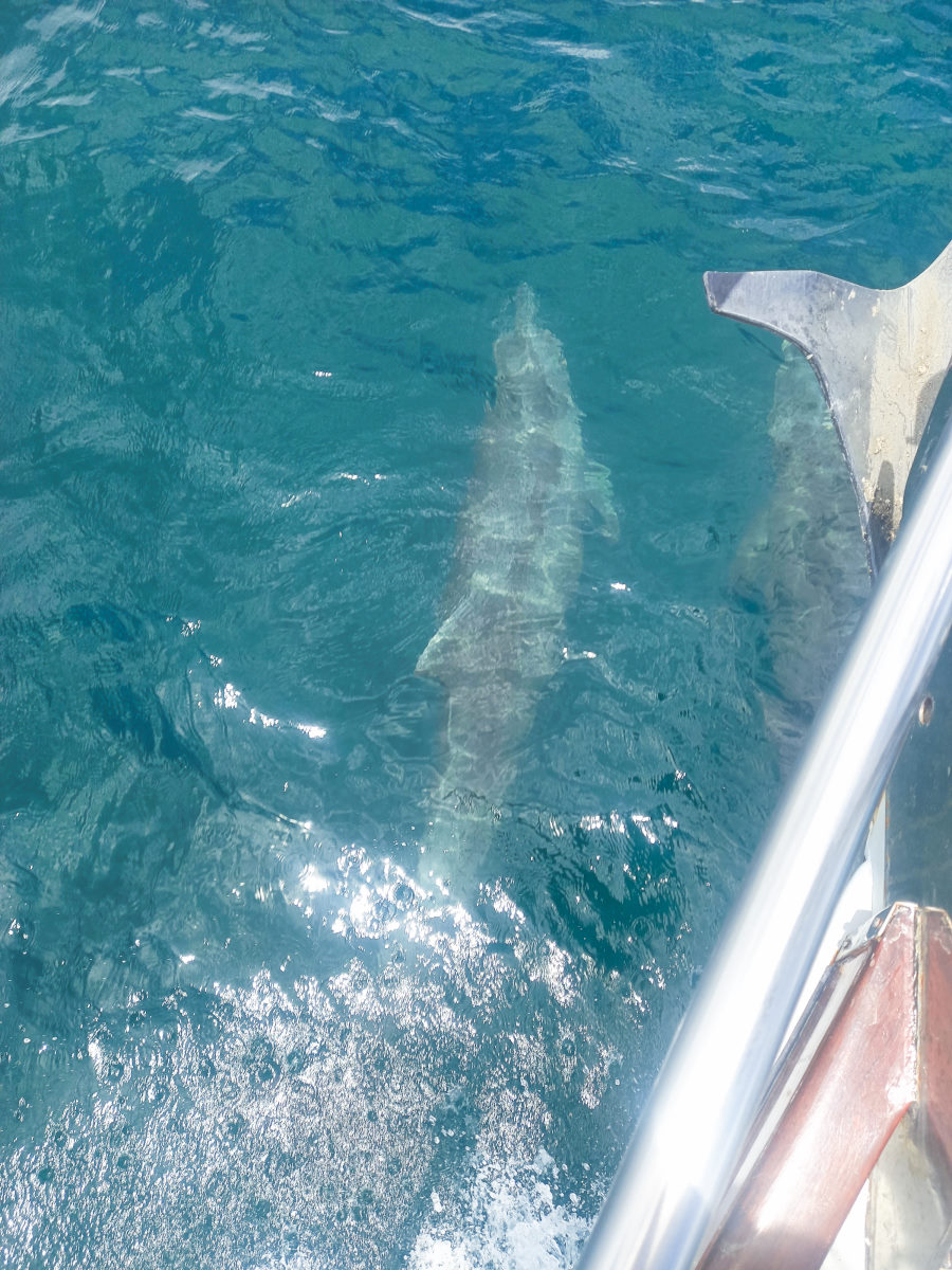
With Benau, and Punta Mala in mind, we headed for Punta Arena as a stop-over to reduce the next days mileage to a reasonable day-sail. The trip over was uneventful except for a couple of visits from dolphins. Bahía Arena is a particularly remote and jungly bay. As we arrived there were three fishermen, two of whom were diving in the water and one in the lancha. We suspected they were diving for sea cucumbers, or perhaps lobsters?
With two reefs close to shore, we anchored way out in about 30 feet, and set in for an acceptably rolly ‘stop-over’ night.

Arena to Benau
| DATE: | 2 May, 2022 |
| DEPARTURE: | Bahía Arena |
| DESTINATION: | Enseñada Benau (Venau) |
| DESTINATION LAT/LONG: | 07° 25.5461N 080° 11.3458W |
| TRIP: | 58.9 |
| ENGINE HOURS (at Destination): | 961.13 |
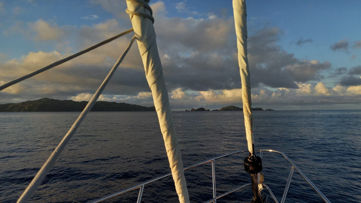
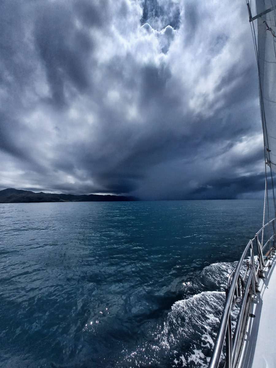
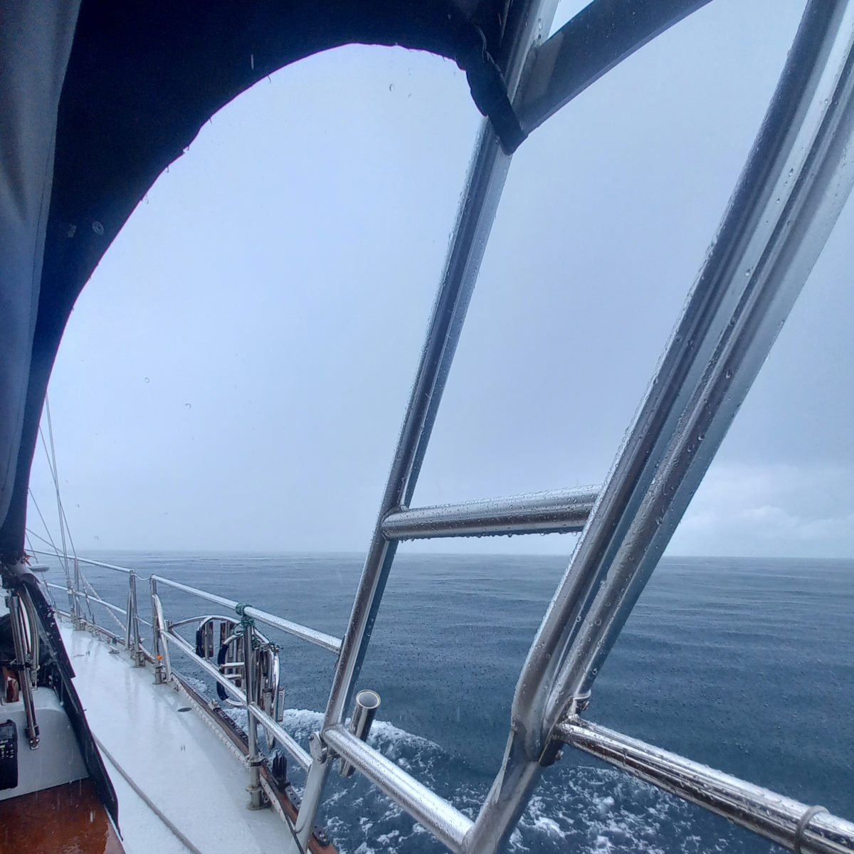
We woke up to a spectacular sky and sun combination and set off for a motor/ motor-sail around to Benau given not much in the way of favorable wind. At one point we had a downpour to contend with, the pounding rain flattening any wind waves there were.
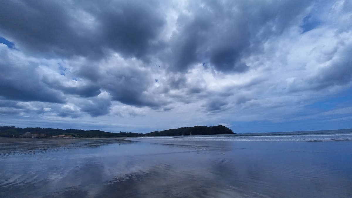
Benau (written Venau just about everywhere non-nautical) is a surf town and despite the relatively low surf when we arrived, we could see a number of surfers in the water, and headed to the protection of the east end of the bay, behind the large rock, and after a preliminary sweep of the depths, tucked in to avoid as much of the south swell as possible.
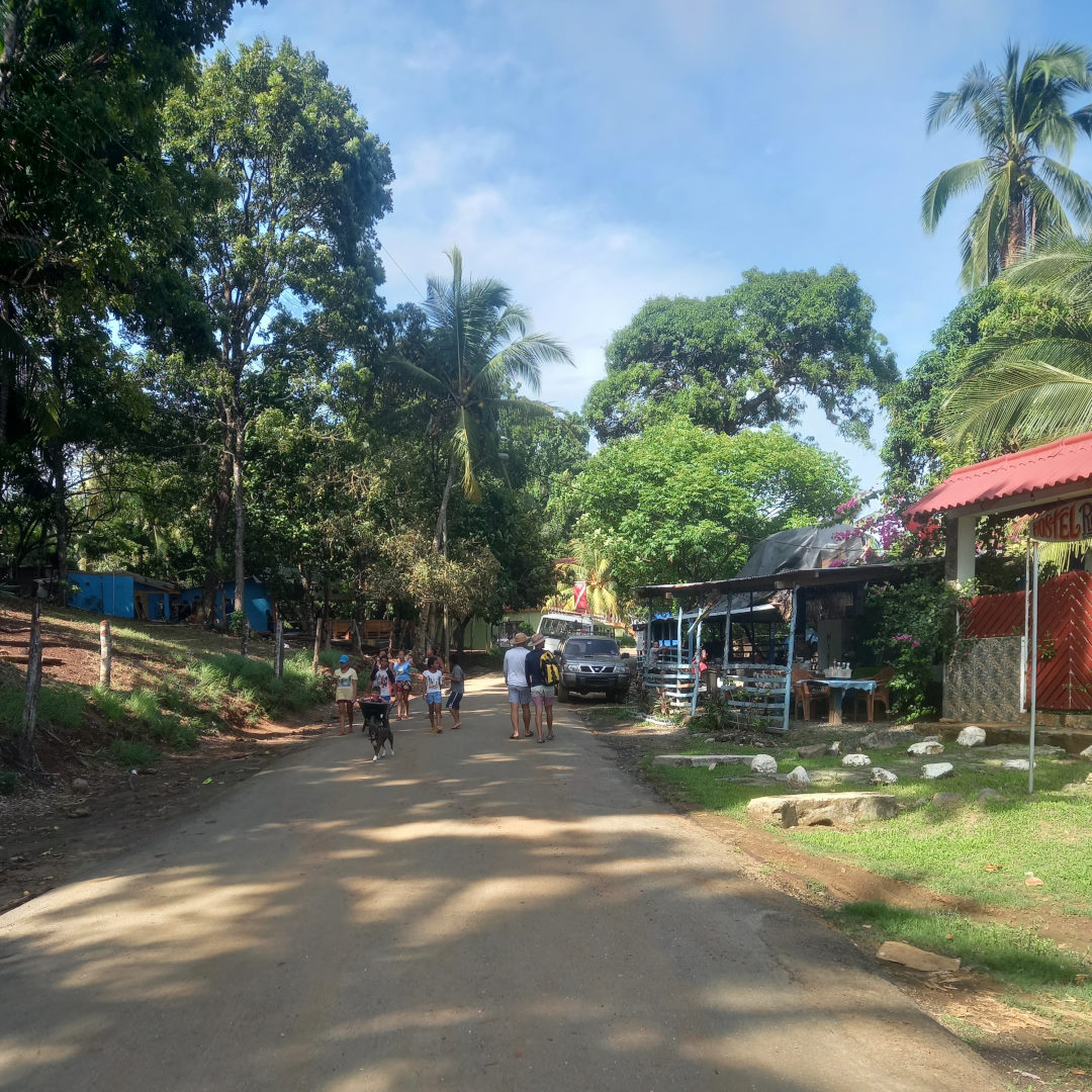
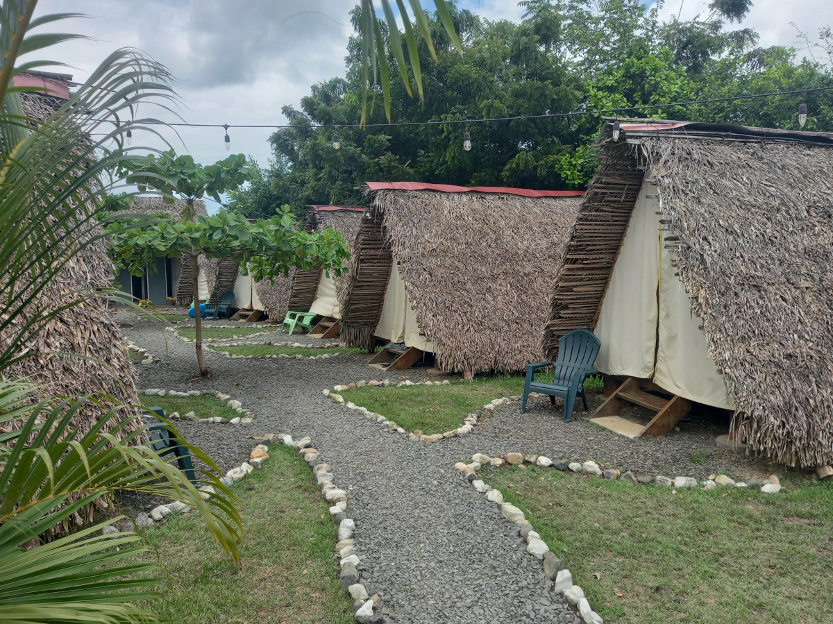
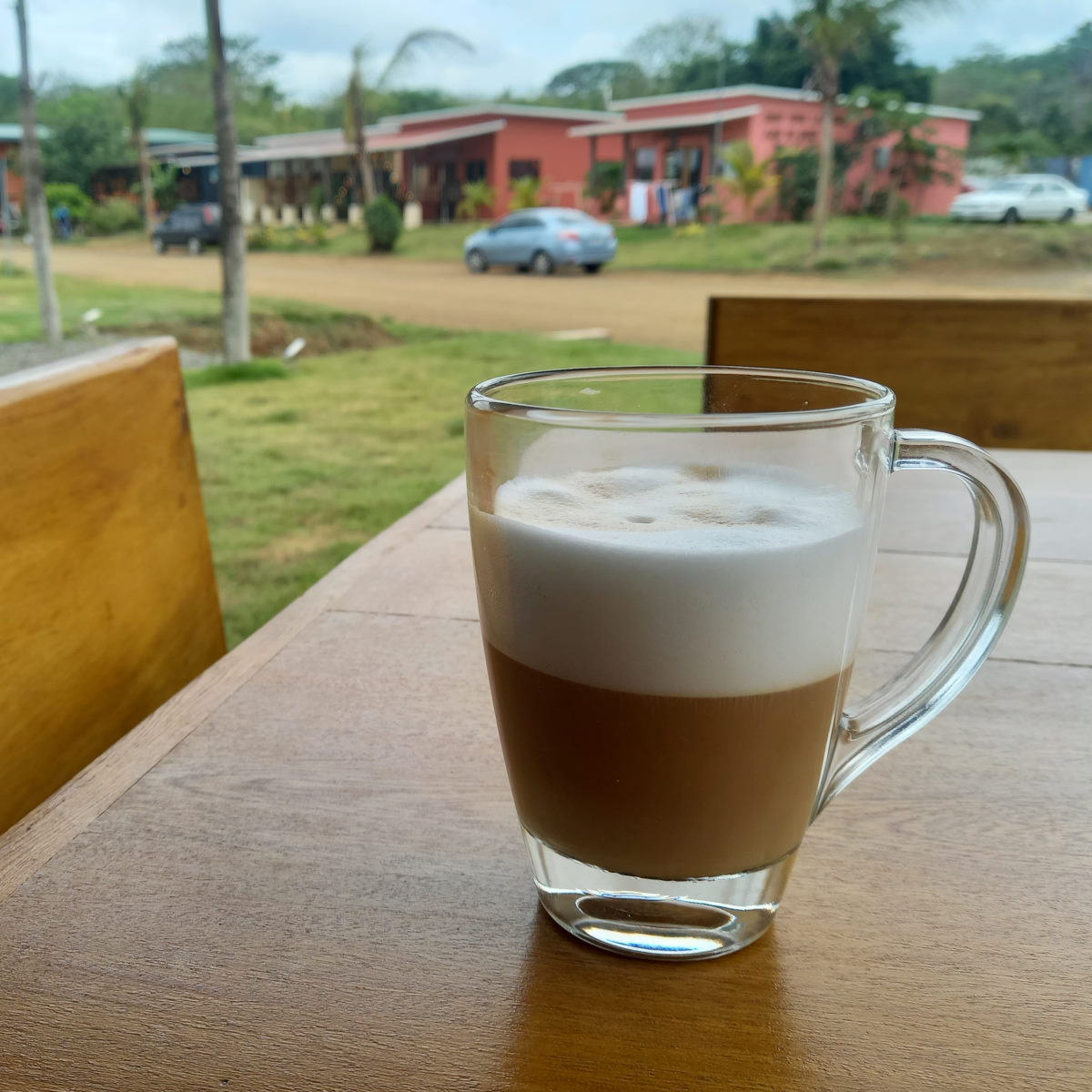
The small town is full of young vacationers, mostly of them Israeli. For some reason the town has some fame in Israel, and we were told that a number of the hotels are Israeli owned. There are chic coffee shops and bars and a few ‘glamping’ style resorts (priced more at the ‘glam’ than the ‘camp’), and a long beach that extends way out at low tide, and all but disappears at high tide. We enjoyed a couple of nights here, took a long walk on the beach. Visited the well-stocked market, and fresh produce store, and had a pleasant meal in a beach bar.
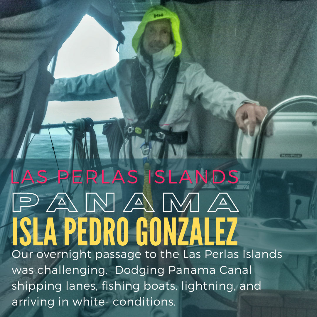
Benau to Las Perlas
| DATE: | 4 May, 2022 – 5 May, 2022 |
| DEPARTURE: | Enseñada Benau |
| DESTINATION: | Isla Pedro Gonzales |
| DESTINATION LAT/LONG: | 008° 25.103N 079° 06.211W |
| TRIP: | 100nm |
| ENGINE HOURS (at Destination): | 967.43 |
We had some trepidation about this passage that crosses around the notorious Punta Mala and leads into the Golfo de Panamá with adverse currents and typical headwinds. The advice was to head direct to the Las Perlas Islands to get a better angle on the wind and get out of the current as quickly as possible, while avoiding the busy shipping lane to and from the Panama Canal.
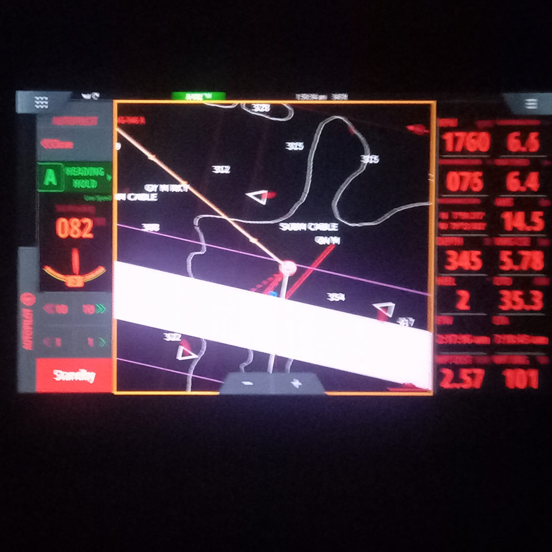
We left around 2pm looking to round the point in the dark and planning our arrival for the following day, with lots of margin in the anticipated trip time for current and wind conditions. The conditions were excellent as we left, and the sails were up within five minutes of departure. It was a pleasant reach off to Punta Mala, and upon rounding, we flew the spinnaker as the wind backed behind us. The wind strengthened throughout the evening and the sailing was very good as we made our way over towards our anticipated point of intersection with the shipping channel. There was almost no moon, and the visibility was nil, other than the occasional flash of lightning that gave us a momentary glimpse of the world around. It was apparent there was some dark clouds and stormy conditions ahead, and on radar a dark cell was visible in our path. A quick call with BOHEMIA and we decided to make a sharp right to avoid the storm, and make an earlier than expected dash across the shipping channel. We turned on the engine to give us maximum and consistent speed as we crossed the three miles wide two-lane shipping highway. We crossed the outbound lane with about 4 miles between us and the next ship and on approaching the inbound lane, Tom called a ship we intended to pass in front of which gave us a sense of comfort that, despite the projected mile between us at our closest point, he was at least aware we were there.
With the traffic lanes crossed, it should have just been plain sailing to the Las Perlas, however, we then faced a strange encounter with a fishing vessel that appeared determined to run us down. The fishing boat clear behind us, the rain started, fairly light at first, but increasingly heavy and by first light, it was torrential with no signs of letting up. With some fairly squally conditions and choppy seas, limited visibility and rain working its way around the cockpit screens, the going was fairly miserable. Things did not improve much after it got light, and we approach Isla Pedro Gonzales in effective white-out conditions, rounding the island to anchor in a wide bay with almost no sense of the surrounding environment. After hanging everything to ‘dry’ in the cockpit, we headed below for a sleep, and an afternoon relaxing watching TV (very unusual behavior for us).
Regardless, we had arrived in Las Perlas, just 40 miles or so from the entrance to the Panama Canal.
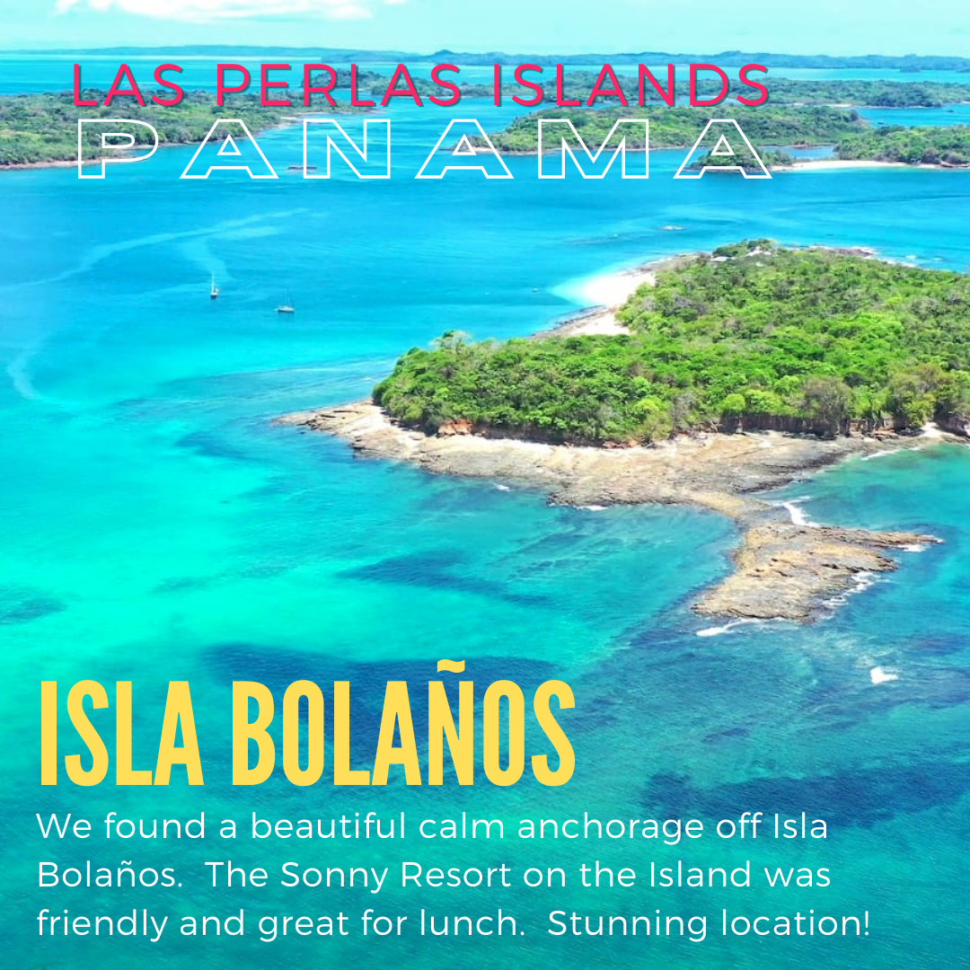
Isla Pedro Gonzales to Isla Bolaño
| DATE: | 6 May, 2022 |
| DEPARTURE: | Isla Pedro Gonzales |
| DESTINATION: | Isla Bolaño (Sonny Resort) |
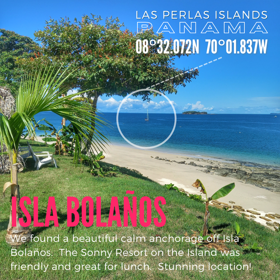
| DESTINATION LAT/LONG: | 008° 32.072N 079° 01.837W |
| TRIP: | 20.6nm |
| ENGINE HOURS (at Destination): | 970 |
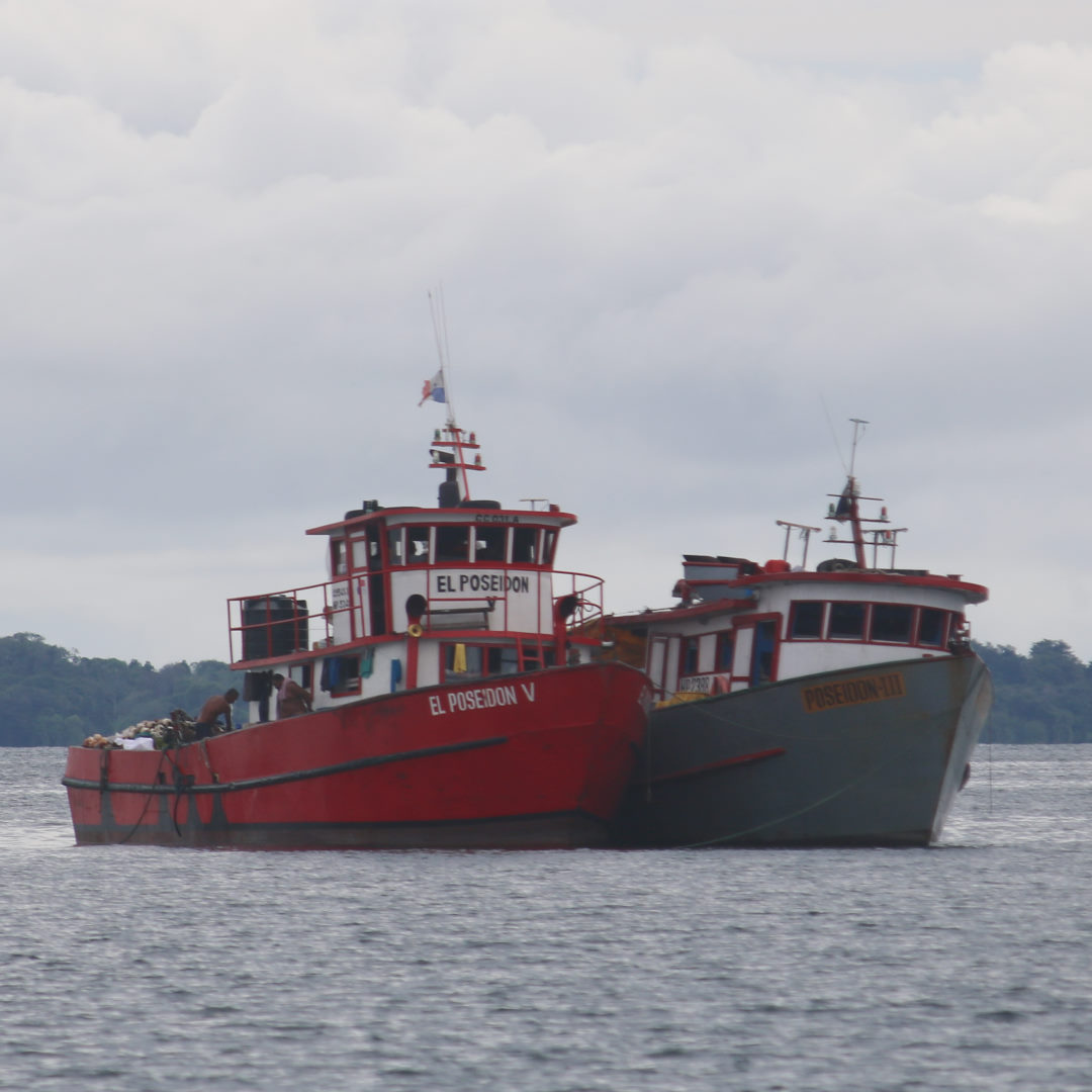
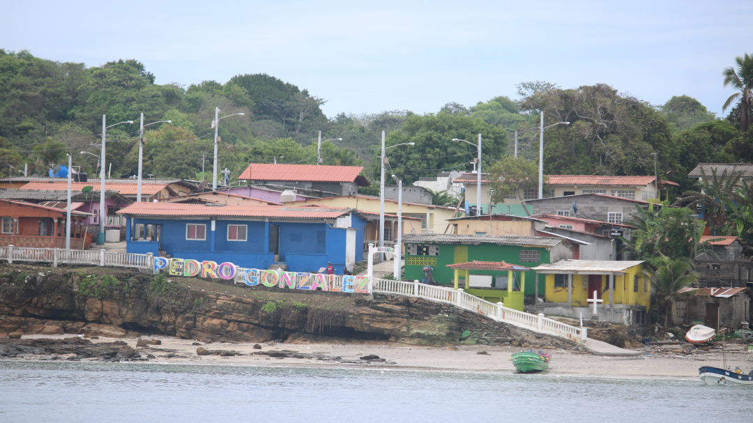
Once the rain cleared, it was evident that our chosen anchorage was not the ‘picture-perfect’ Las Perlas we had dreamed of, and we were anchored along with a number of commercial fishing vessels off the small townsite.
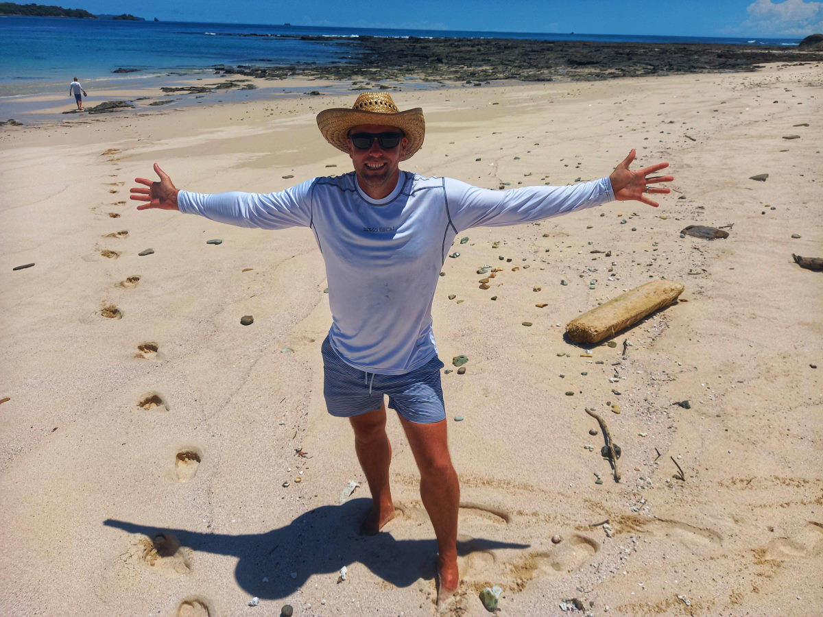
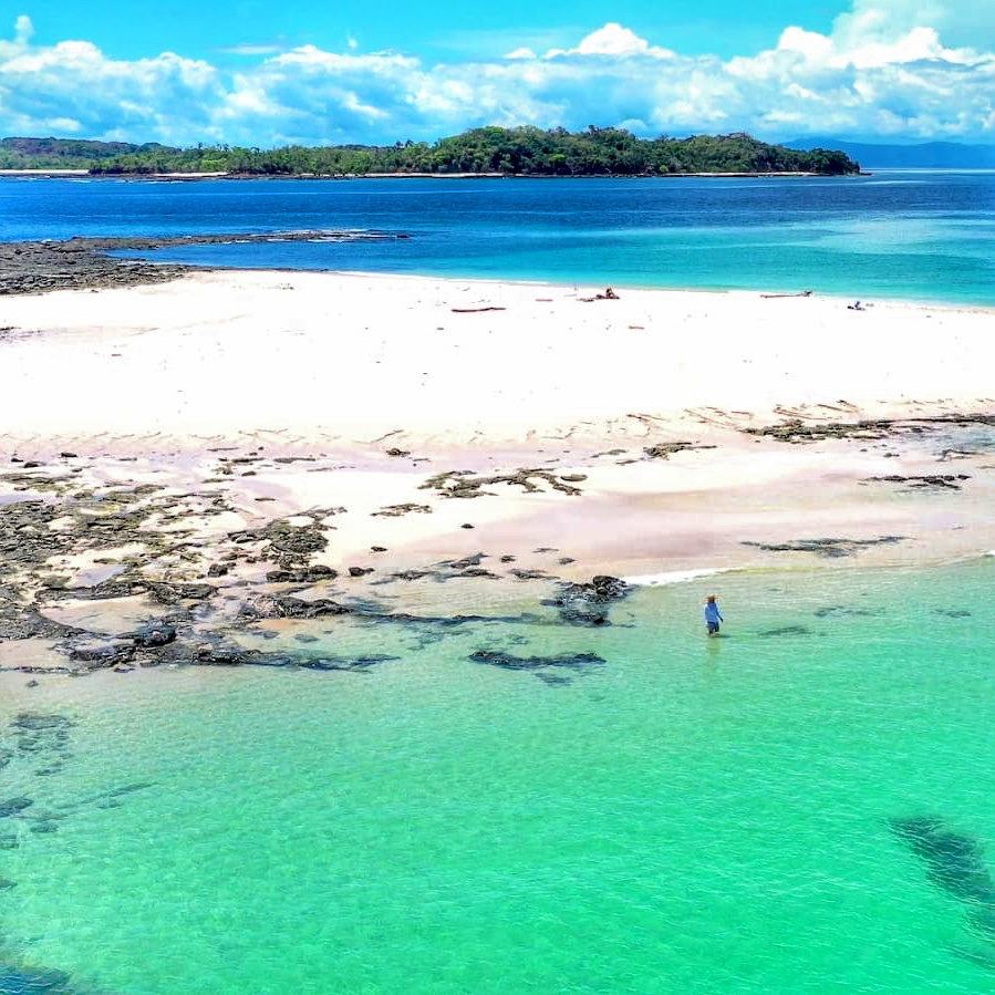
We weighed anchor with the intended destination of a small gap just north of Isla Mogo, but when we got there, it did not look comfortable, and we headed for a ‘plan B’, but saw a small sailboat anchored off a white sand beach, and diverted to check it out, and there we stayed for two days. Isla Bolaño is a small island almost entirely taken up with a glamping Sonny Resort. The beach was perfect, the water clear, and just a mile away is a dramatic sandbar island that almost entirely disappears at high tide.
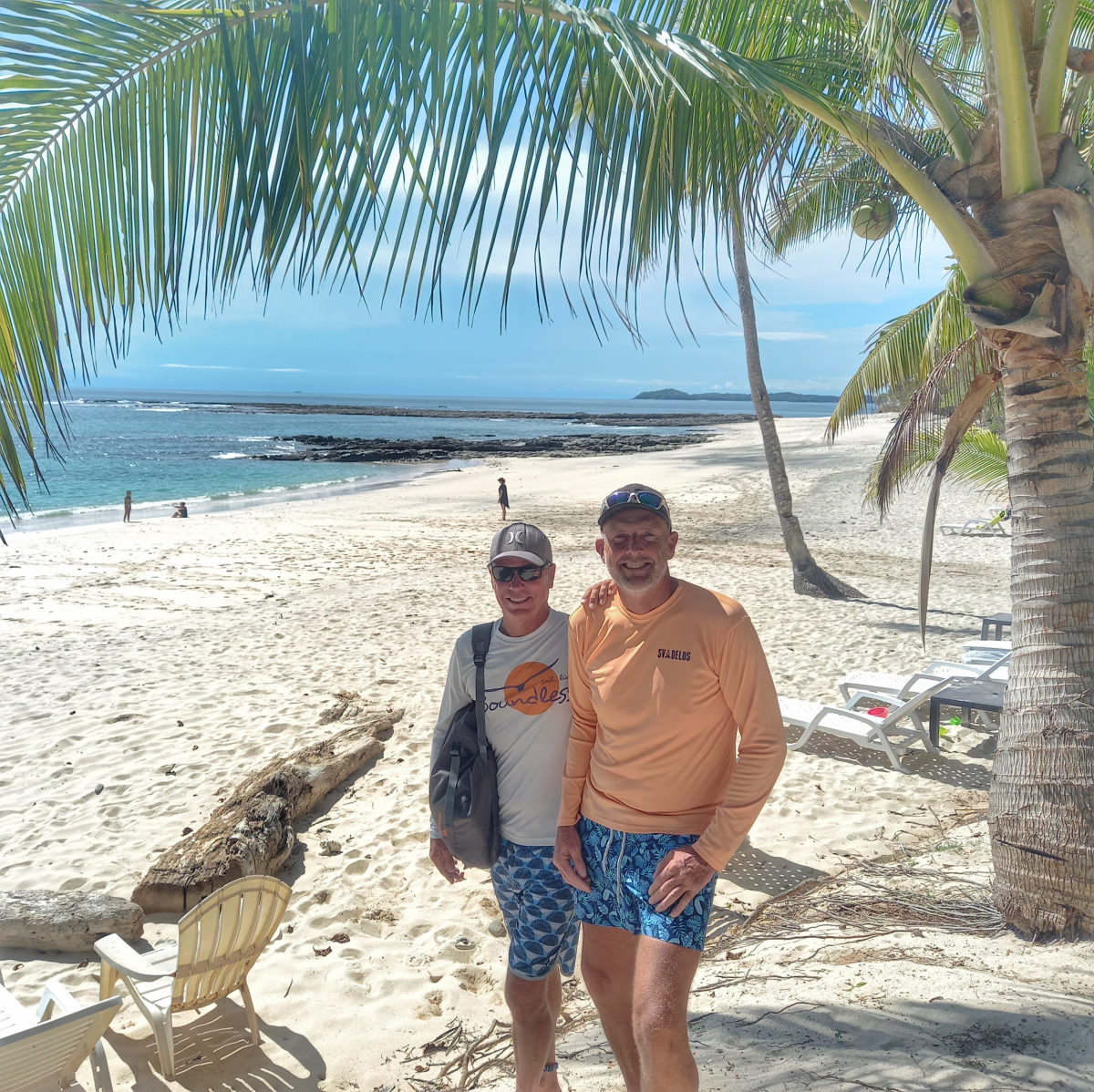
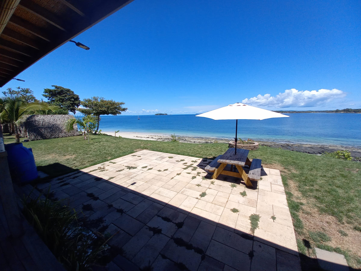
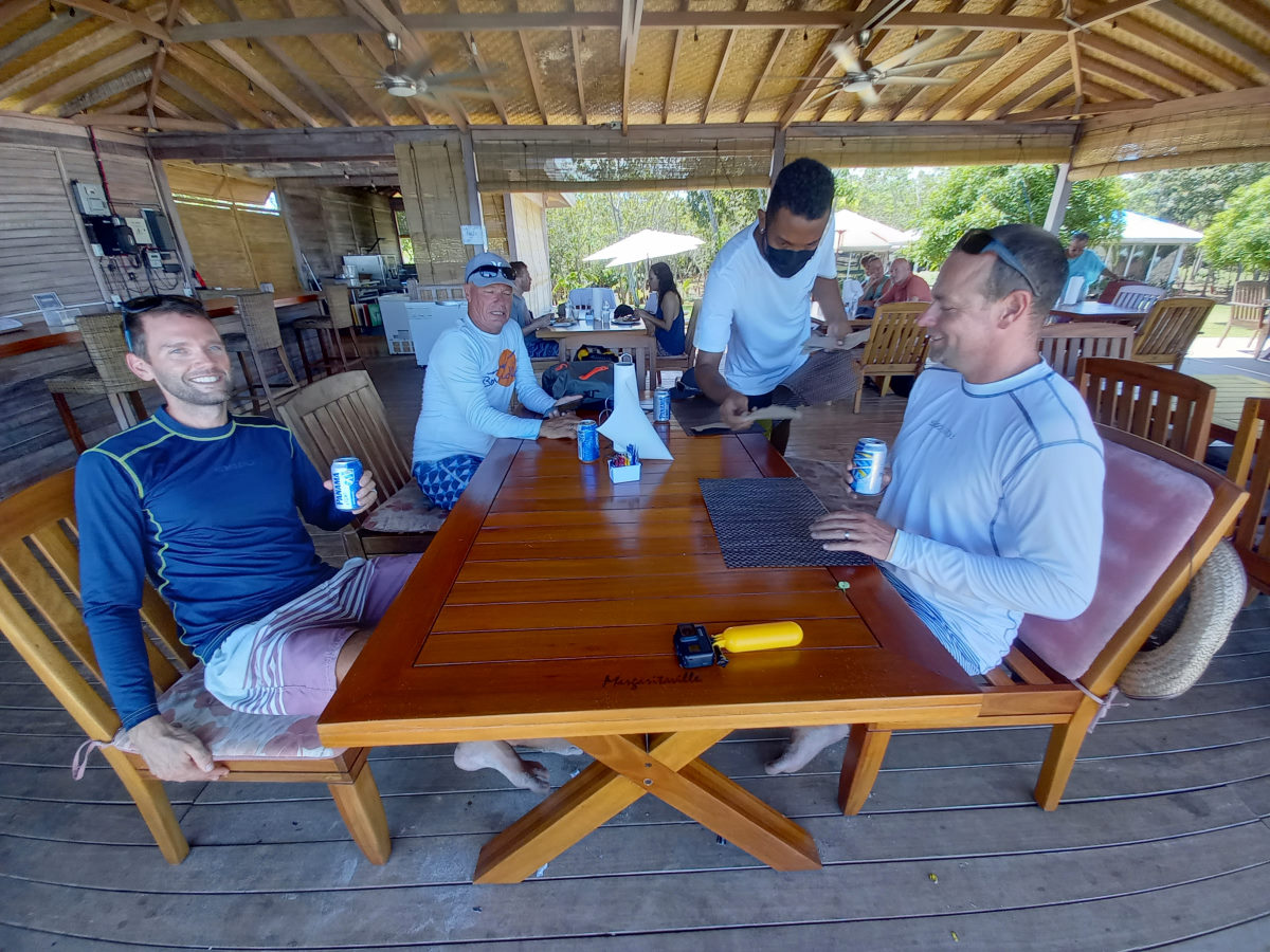
Having prearranged with the agent in Panama that would meet him to (finally) check into the country, and do our paperwork for our canal crossing, we had just two days, but this pretty, calm anchorage turned out to be the perfect finale for our cruising season. As it was Peter’s birthday we took a trip out to the sandbar, then to the resort for lunch and spent a little time relaxing by the beachside bar with a birthday cocktail. We were really impressed with the resort and the combination of ‘yurts’ and fairly luxurious cabins, together with the main dining room, plus two beaches, all set in a stunning location, definitely got our approval.
Bolaño to Panamá City
| DATE: | 9 May, 2022 |
| DEPARTURE: | Isla Bolaño |
| DESTINATION: | La Playita Anchorage (then Marina) |
| DESTINATION LAT/LONG: | 08° 54.4811N 079° 31.4923W |
| TRIP: | 38.4nm |
| ENGINE HOURS (at Destination): | 978.42 |
We left the beautiful anchorage at Isla Bolaño and passed just north of the sand bar/island we had been to at low tide and south of Isla Mogo to get clear of the Las Perlas, and head towards Panama City. With little wind, and what wind we did have being on the nose, we motored most of the way, with getting a lift of the sails for just the last section.
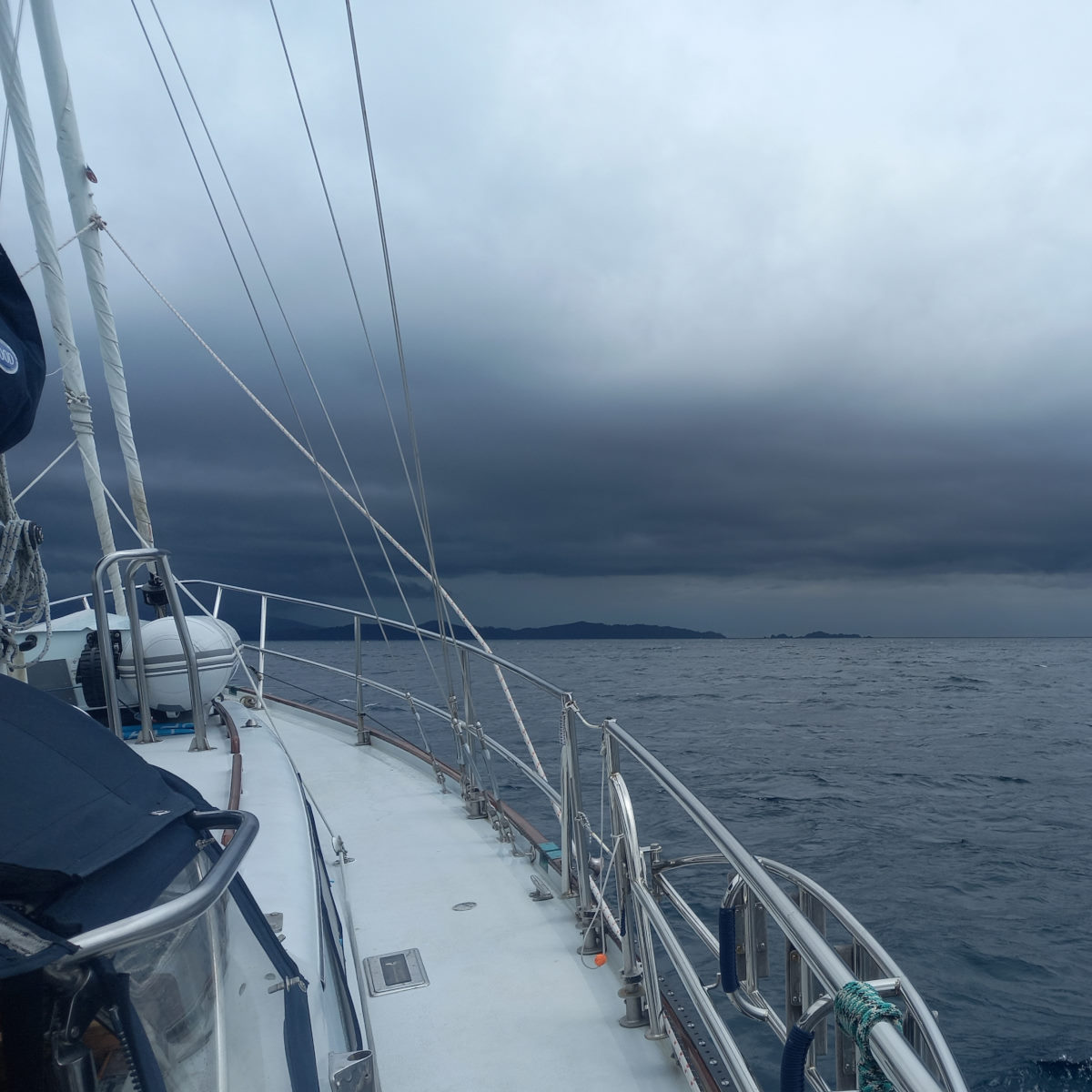
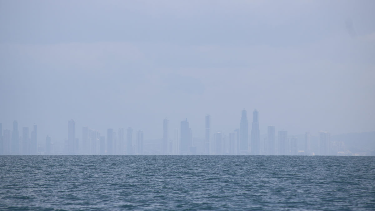
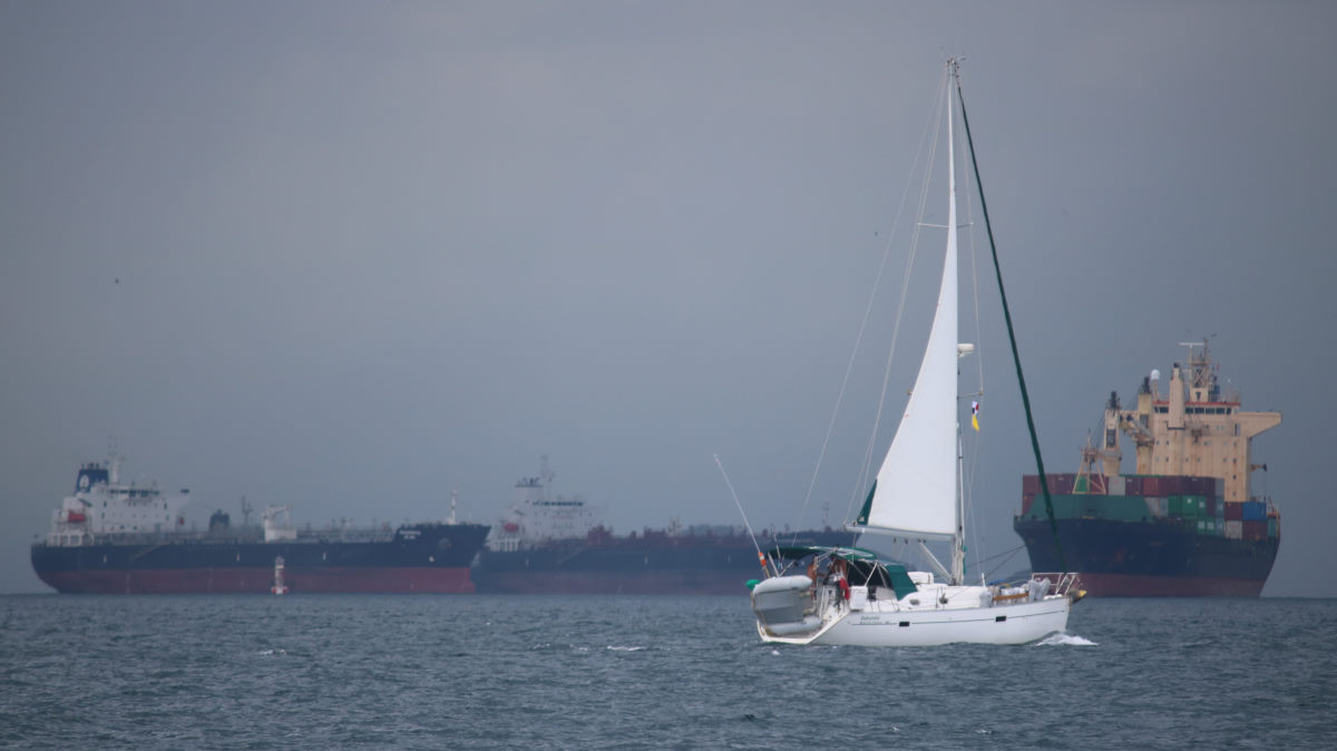
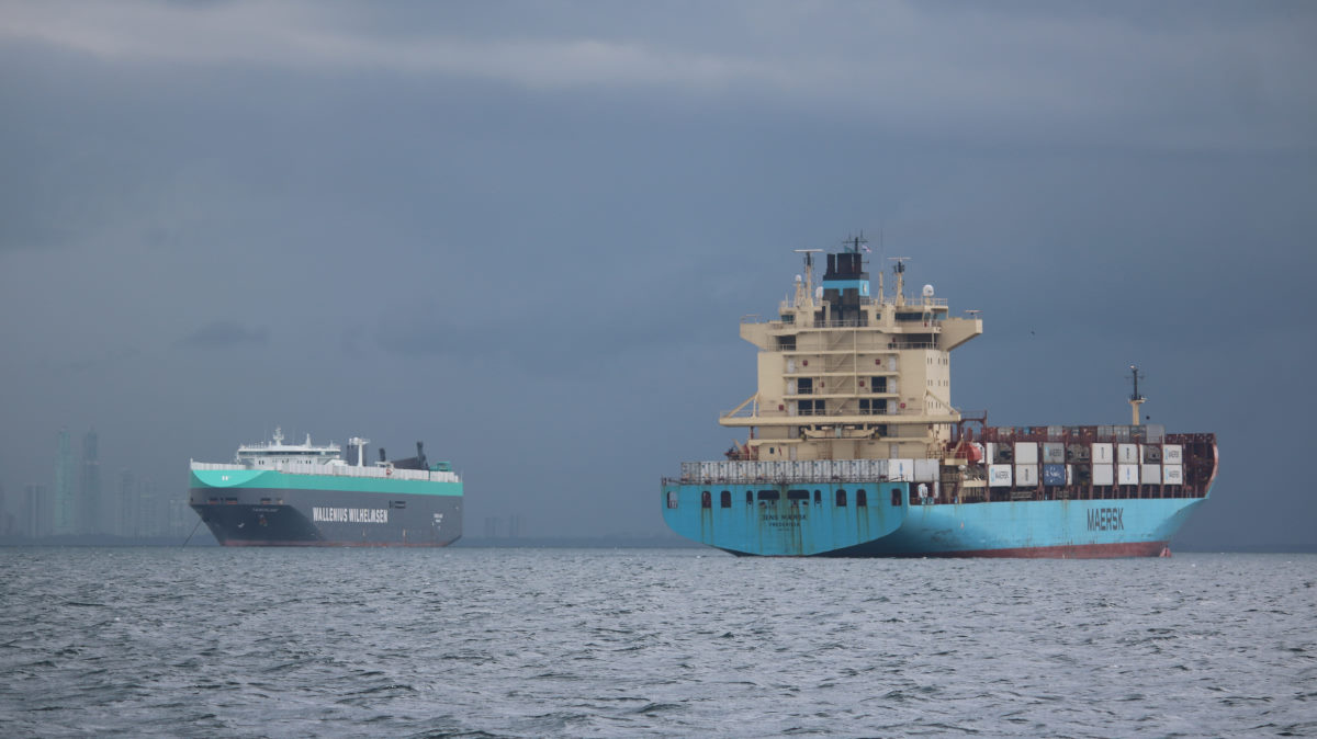
The weather was grey over Panama City and the city view was obscured by dark clouds, but the density of AIS targets, and the looming ships indicated our approach.
It was certainly a different experience traveling through the moored behemoths to get to our anchorage, made the more dramatic by the dark sky and threatening rain. Panama and the canal, had been our objective since leaving San Francisco. Our standard response to the “Where are you going to go?” question, and to actually be arriving at this much anticipated destination gave us both a feeling of the ending of an era.
We anchored in La Playita, familiar territory for me as I had been there on CONVERSATIONS for a number of nights a few months previously. Tom and Peter came over for a celebratory drink, and we made arrangements for getting to the La Playita marina, finally officially checking in to Panama, and making arrangements with Erick Gálvez for our Canal transit. The following morning, we were up early and into the Marina by 7:30am. Tom and I went to meet Erick and get us checked in with Immigration. Colin and Peter stayed with the boats and met with a most unpleasant gentleman who measured the boats and provided us with our official Panama Canal number.
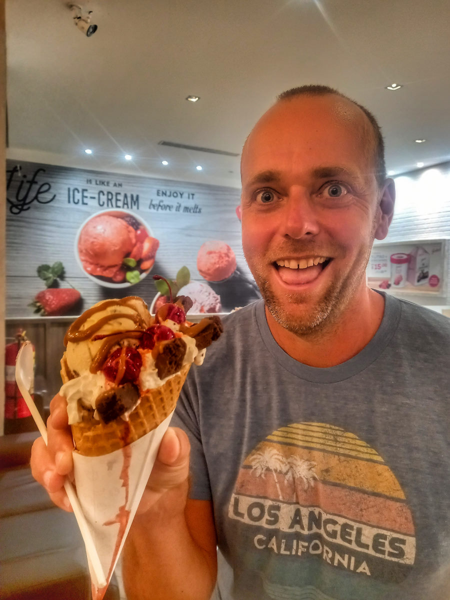
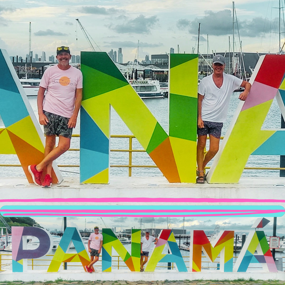
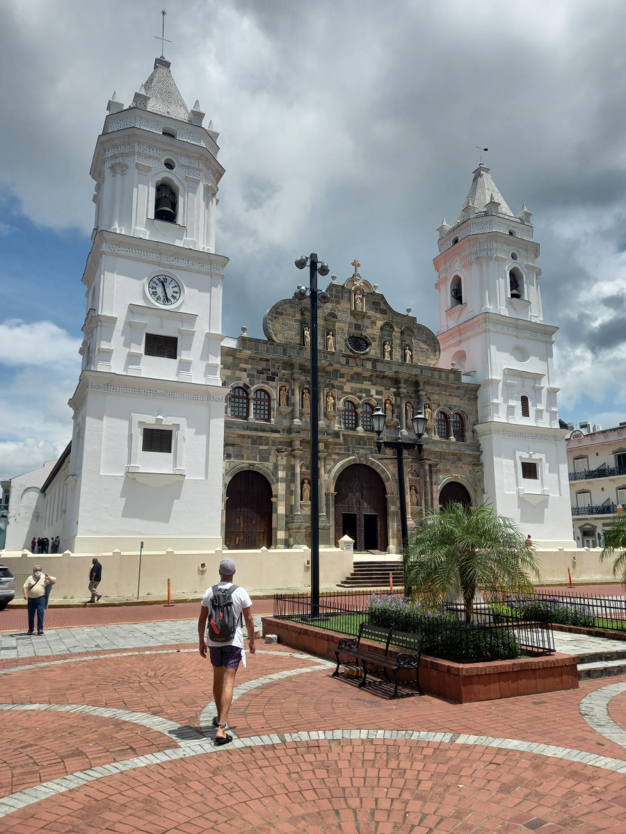
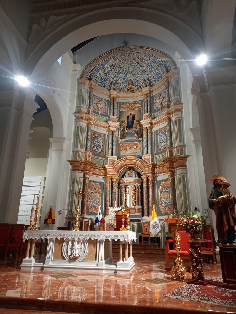
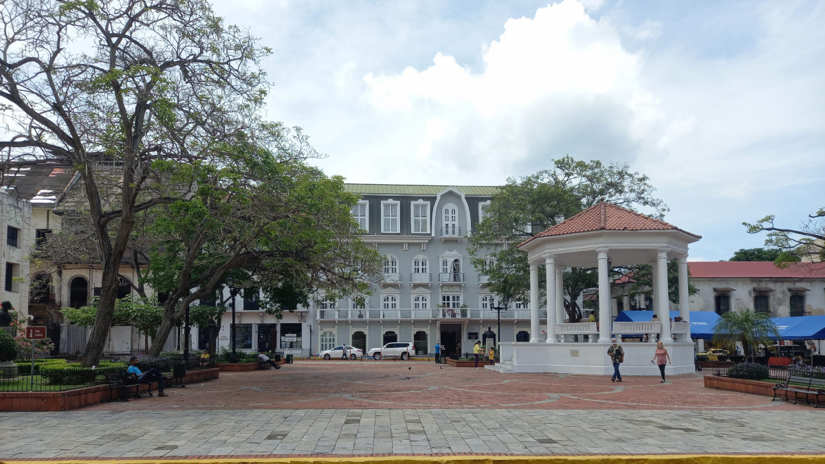
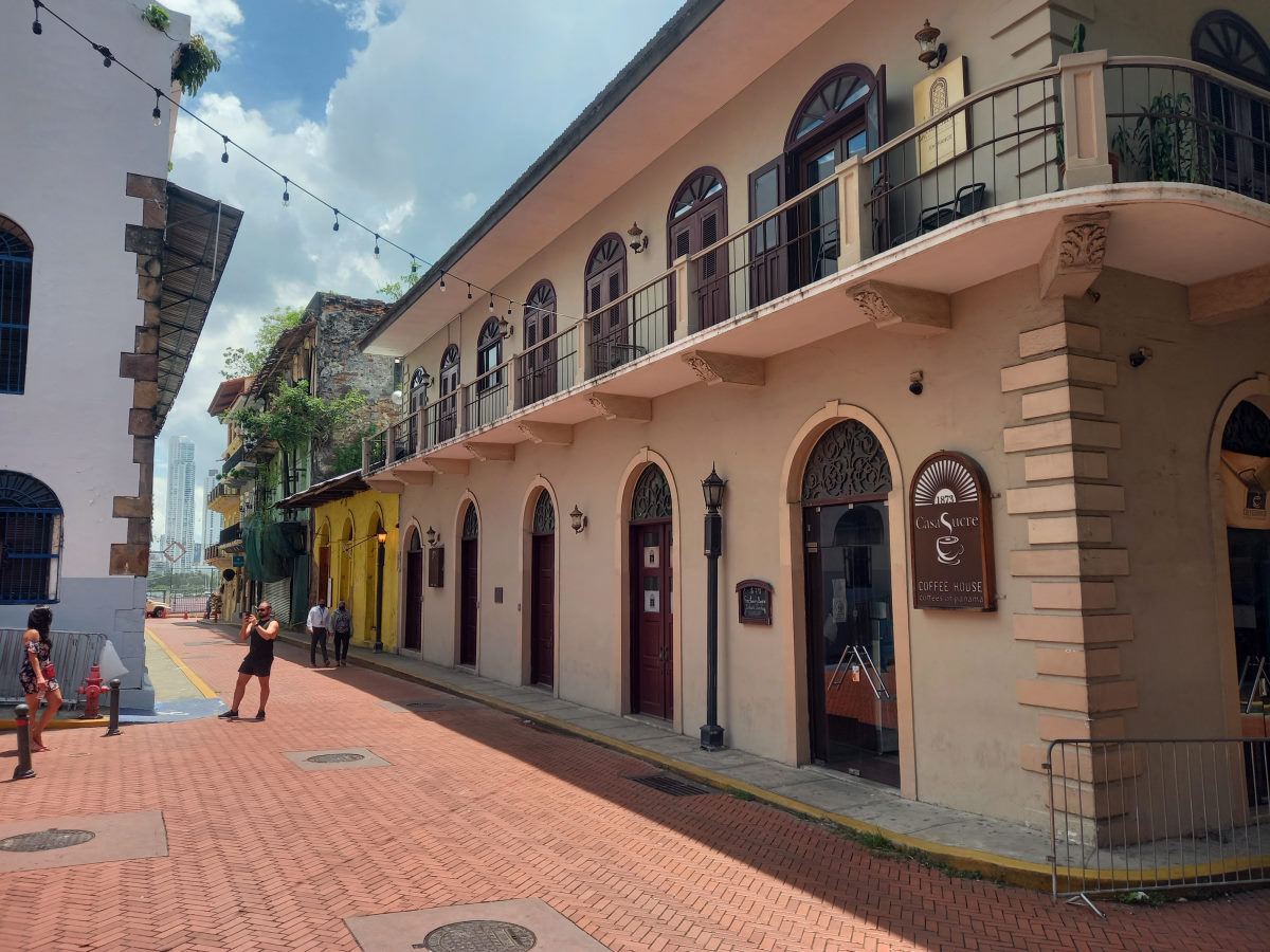
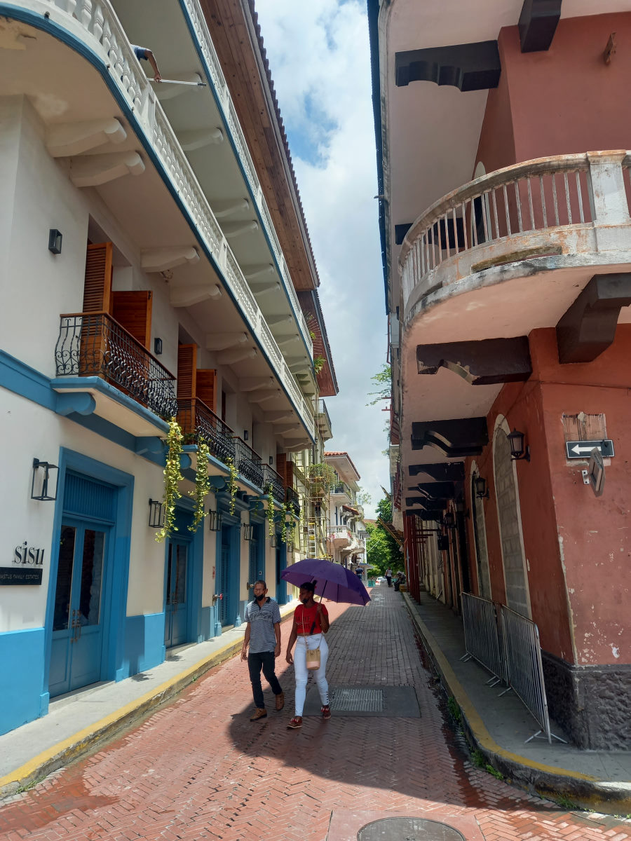
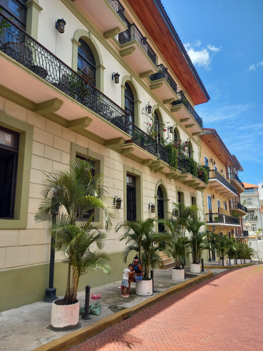
We were to spend a few days on the pacific side of the canal waiting for our transit date, and we took the opportunity to visit a shopping mall in Panama; quite the unfamiliar experience. We also visited the Casco Viejo (Old Town) of Panama, went to Panama Canal Museum, and walked to a marine store, which appeared to be relatively close to the old town, but involved a trip that took us through some of the less savory parts of Panama.
Panama Canal Crossing
| DATE: | 18 May, 2022 |
| DEPARTURE: | La Playita Marina, Panamá City |
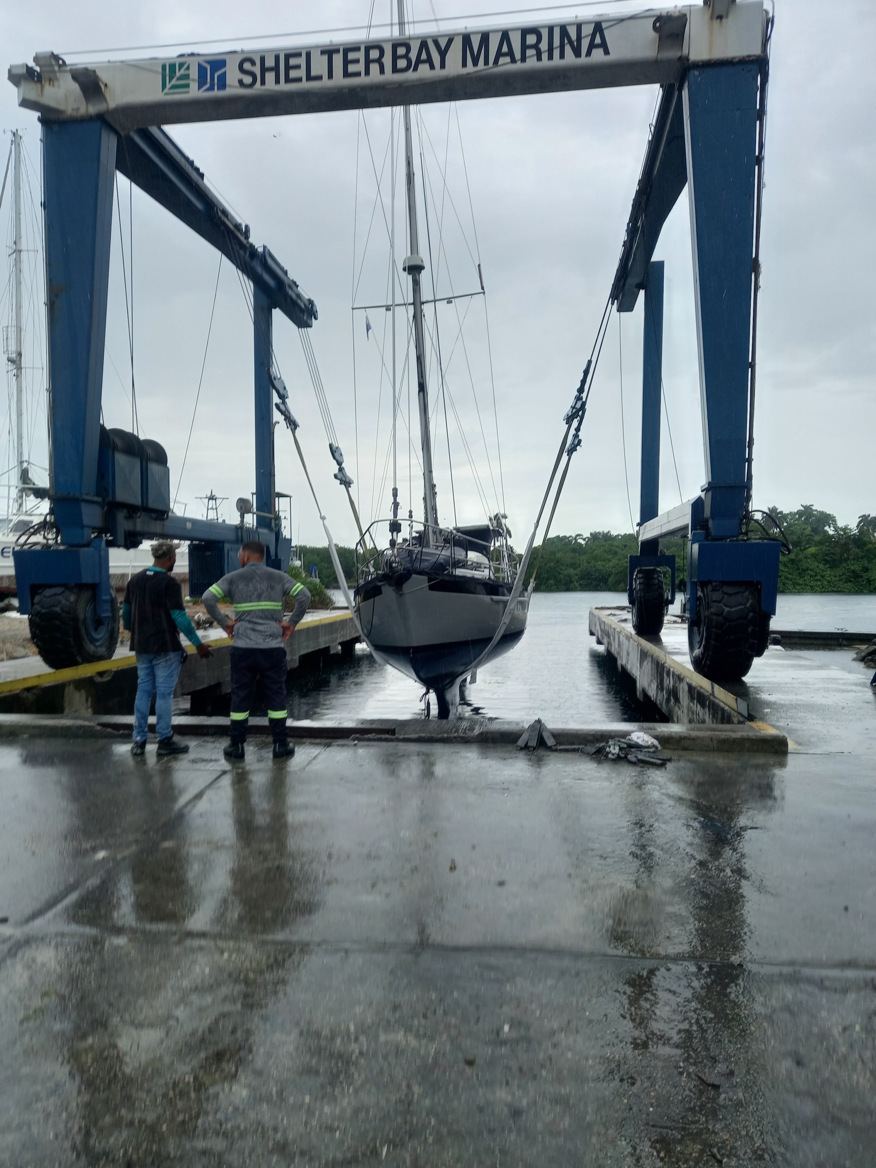
| DESTINATION: | Shelter Bay Marina, Colón |
| DESTINATION LAT/LONG: | 009° 22.02N 079° 57.04W |
| TRIP: | 43.9 |
| ENGINE HOURS (at Destination): | 990.34 |
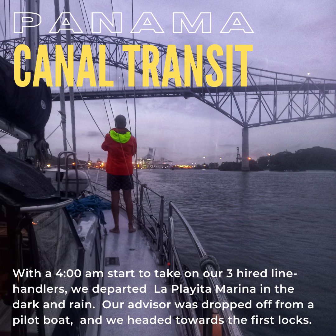
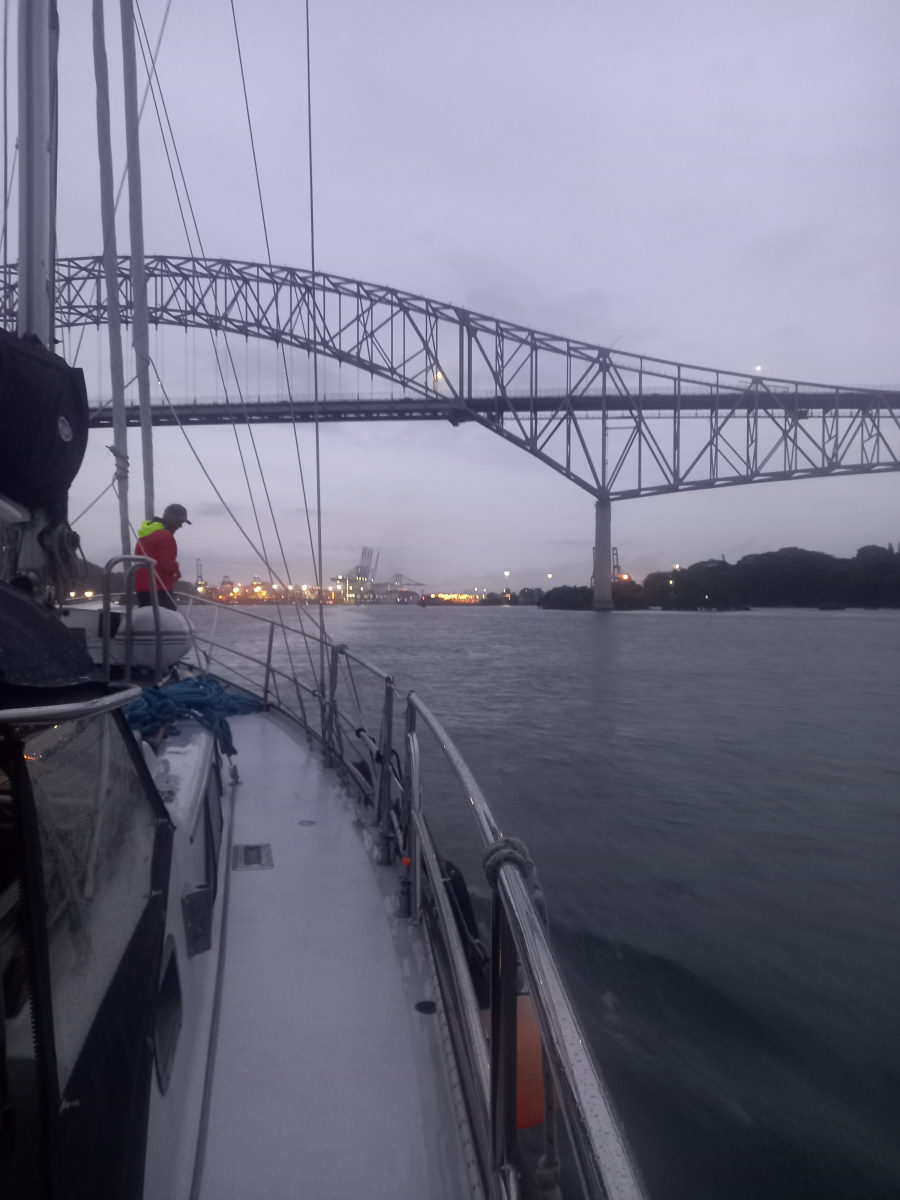
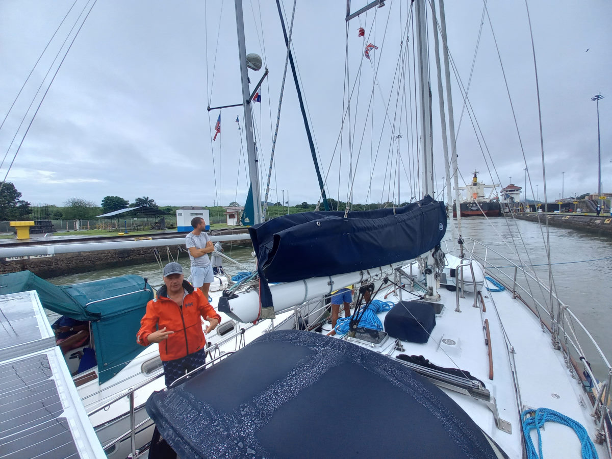
It was an early start, meeting our line-handlers at 4:00am and feeling our way out of the marina in light rain and in the dark. We moved over to the designated meeting point close to buoy ‘6’ of the entrance channel to wait for our Canal transit advisor, and the three line-handlers were quick to make themselves at home down below. Just after 5am we saw a launch approaching quickly and within a few minutes we were introducing ourselves to Armando, who gave us the instruction to raise the anchor and get under way. He clarified that were in fact scheduled for a two-day transit of the canal, and unless anything changed, we would be spending the night in Gatun Lake and completing the journey the following day. This was news to us as we had understood we were scheduled for a one-day crossing. It also raised a few questions such as what to feed the three hungry looking guys for an unplanned meal that evening, and, where were they going to sleep?
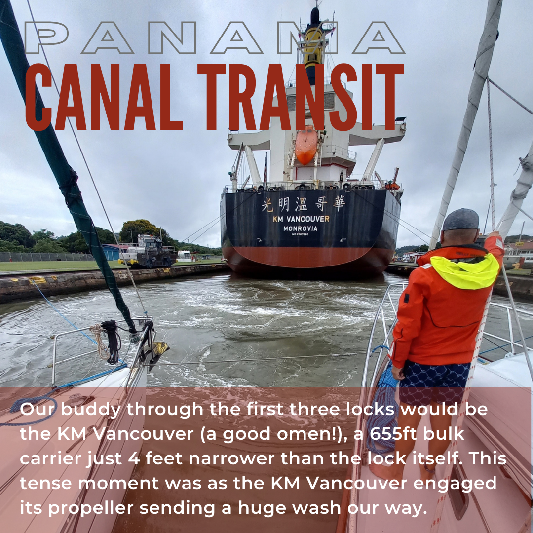
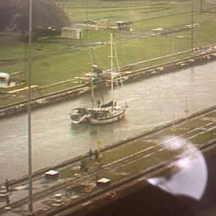
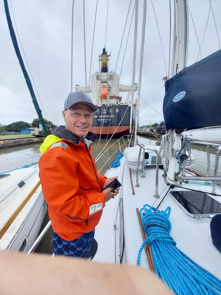
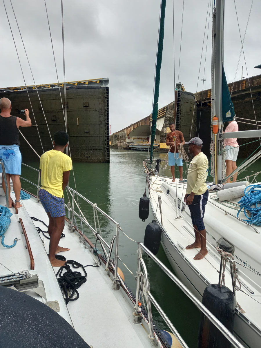
Motoring along the one-hour approach to the locks we were overtaken by a huge tanker, coincidentally named KM Vancouver, a good omen for sure, and the advisor informed us that this was our up-lock buddy. The intention was that we would raft up with BOHEMIA and stay center-chamber in the space left behind the KM Vancouver in each of the lock chambers. Close to the Miraflores locks we slowed, waiting for the tugs to push the huge tanker into the first lock. The tanker being only four feet less wide than the lock itself, the maneuver took some time, during which we came alongside Bohemia and formed our small raft. Under instructions from the advisor, once the lock was clear of the tugs, we moved slowly into what appeared to be an inadequate space between the business end of the tanker and the massive lock gates behind us. The gates closed as we said a farewell to the Pacific Ocean left behind them.
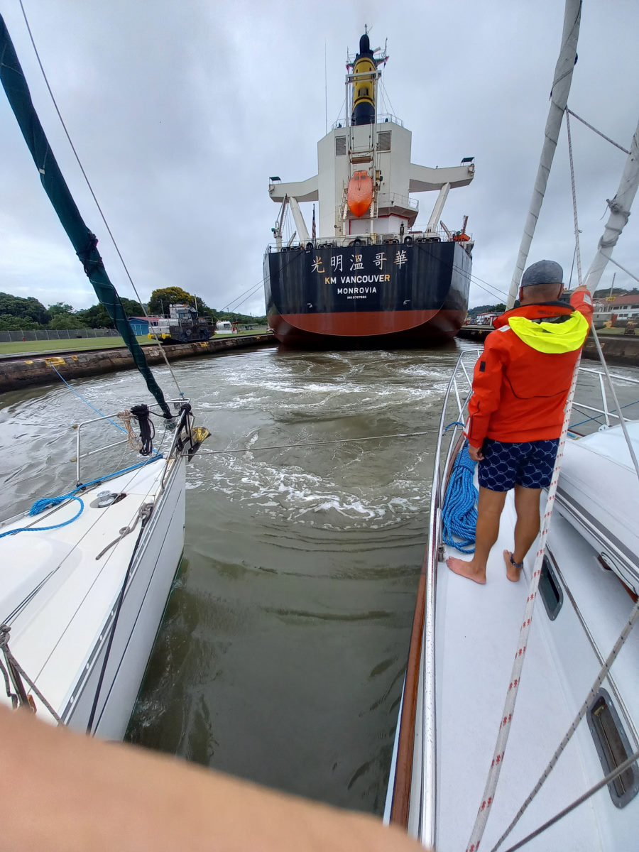
The first of the three Miraflores locks is reportedly the most challenging as the mix of sea water with the incoming fresh water makes for even more swirling conditions for small vessels such as ours, and we were pleased to have hired the professional line handlers, two on Boundless and two on Bohemia, maintaining the position of the rafted boats in the center of the lock. Once the lock filled with water, there was a tense moment as the KM Vancouver started to motor forward, sending a flow of propwash in its wake. With the KM Vancouver then positioned in the second lock, we slipped in behind what seemed an even smaller space and the process repeated. With the second lock filled, a glance over our stern showed the sea level of the Pacific some 56 feet below us behind the first dock.
The Miraflores locks are a set of two locks and to get to the third, and final ‘up’ lock, the Pedro Miguel Lock, we traveled across the one mile of Miraflores Lake, being careful to maintain no more than a couple of knots. With the two of us still rafted together, and Boundless being the bigger of the two, Bohemia rudder was centered and was put into forward idle, while I did the steering of the rafted pair and monitored the speed. This certainly required a level of concentration that was made more acute by the 2:30am wake-up.
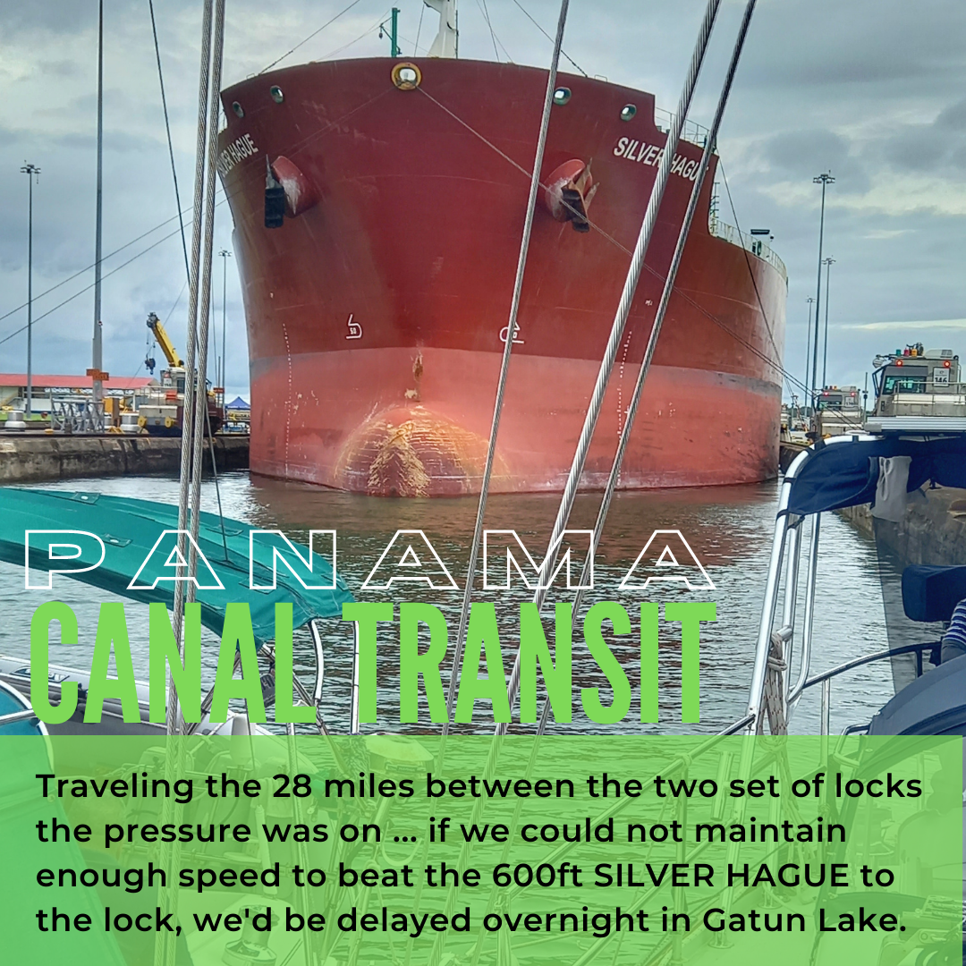
The KM Vancouver was again coaxed into the narrow space of the Pedro Miguel lock, and we followed, repeating the process from Miraflores. With the chamber filled, we had been a raised a total of 85 feet and were now at the level of the 28 miles of water between the two lock systems. We exited the Pedro Miguel Lock, disassociated ourselves from Bohemia, and began the marathon of trying to maintain a speed of at least 6 to 6.5 knots underway to the north side of the Canal. This pressure was exacerbated by the recent update that, if indeed we could get to the Gatun locks ahead of the huge vessel we could see behind us just in the Miraflores Locks, we could go through at the same time that day, and avoid the overnight stay in Gatun Lake.
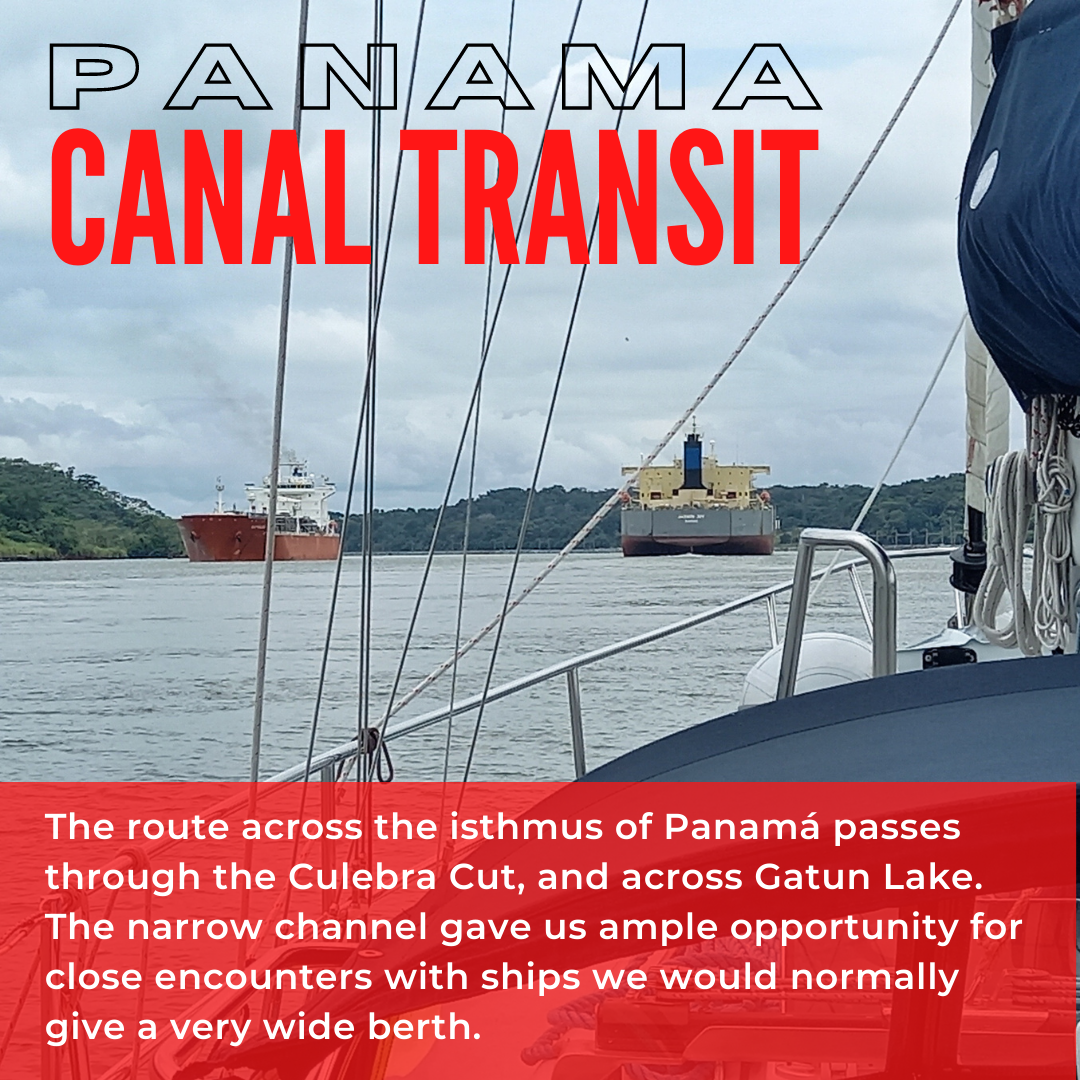
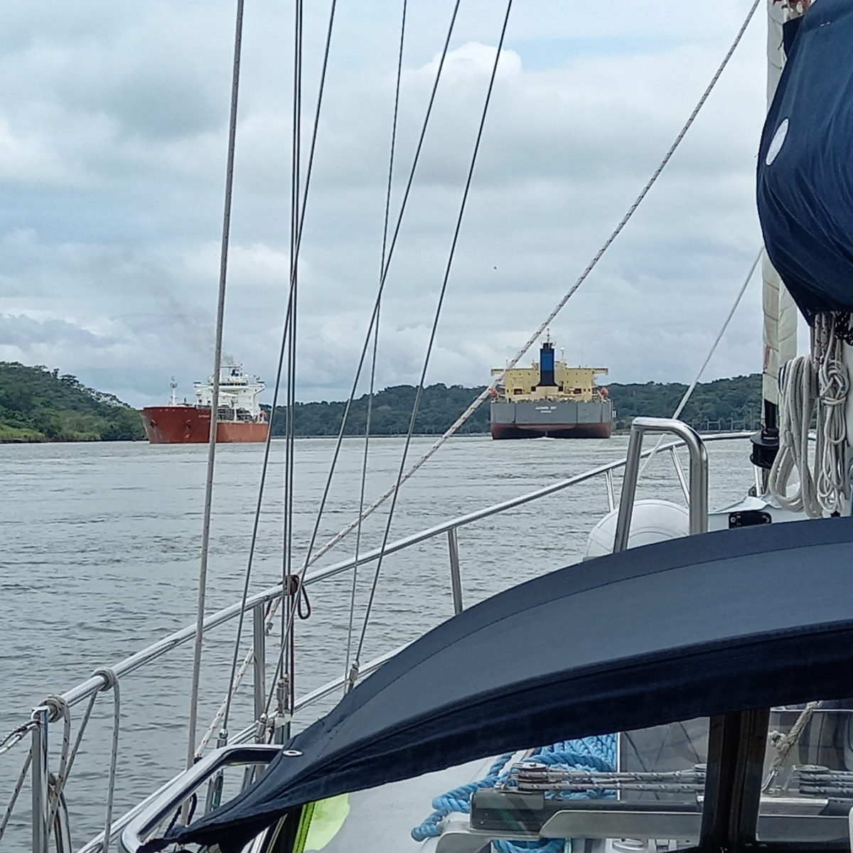
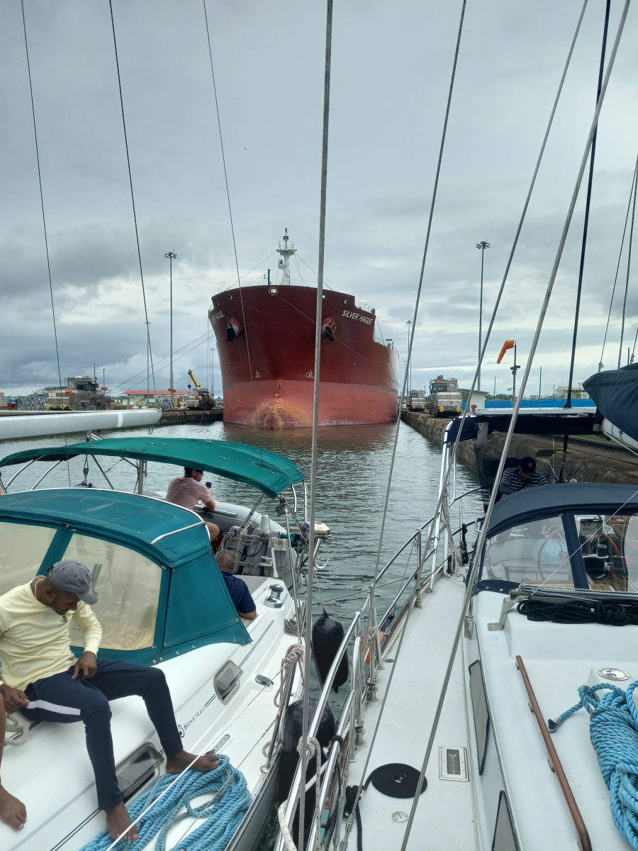
The race on, we settled into a resigned pace at 2,200 RPM for an uneventful motor through the Culebra Cut, following closely the channel buoys, sometime quite close to the shore of the cut. Occasionally a ship would pass, and in one instance a passing ship slowed to drop of the pilot, and we were witness to the whole procedure in an unusually close-quarters fashion. The trip through the Culebra Cut and then across the Gatun Lake is at the same time epic, when you recall the momentous effort and lives lost in creating the Canal, and mundane, as you motor for hours along a relatively flat channel, punctuated only by the passing vessels and the wash from the smaller ones that turn the otherwise calm environment on board into a moment of chaos. Our line handlers, clearly numbed to the epic nature of the trip disappeared after their cooked breakfast, prepared as a Canal Transit requirement for the advisor, and lay around the cabin below, catching up on sleep.
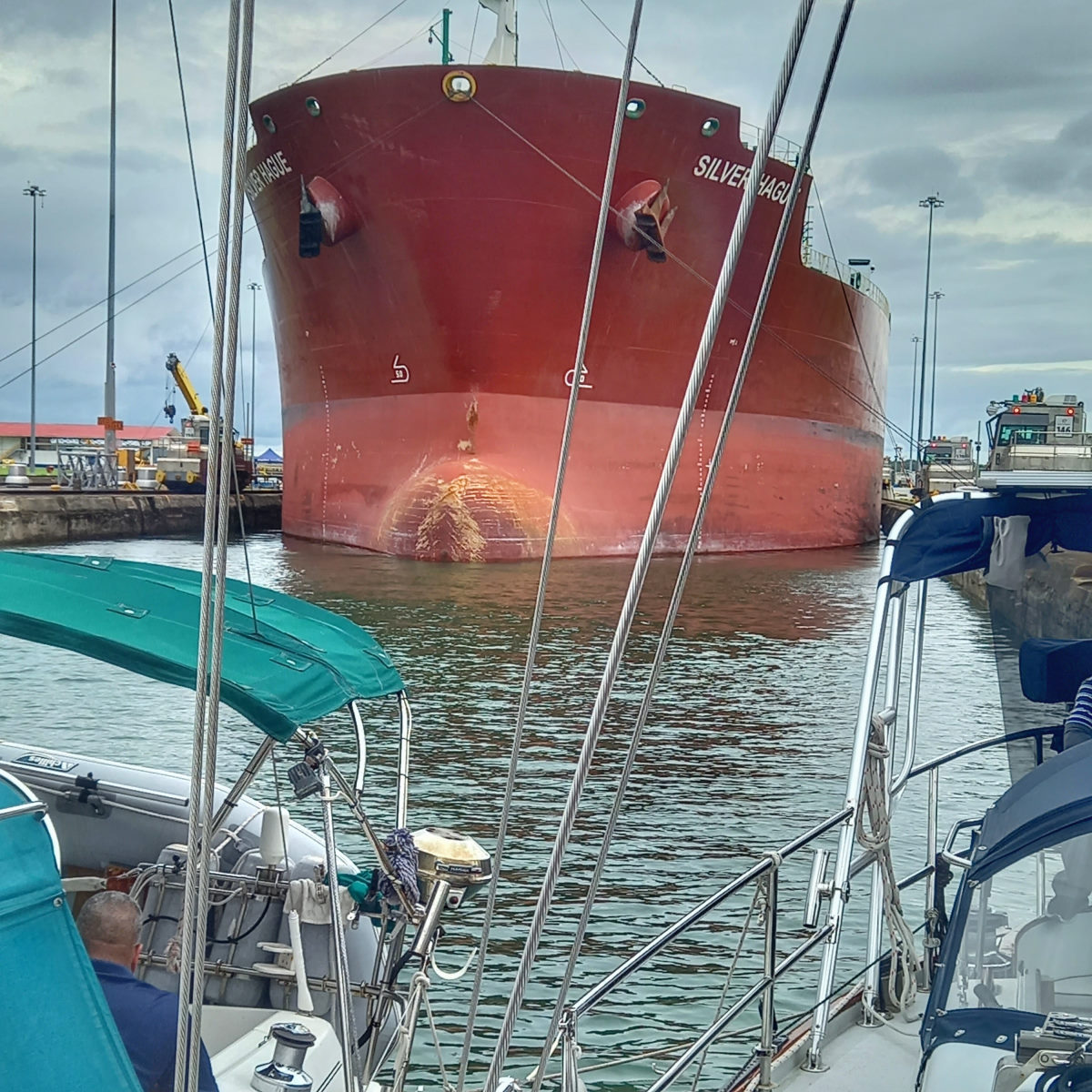
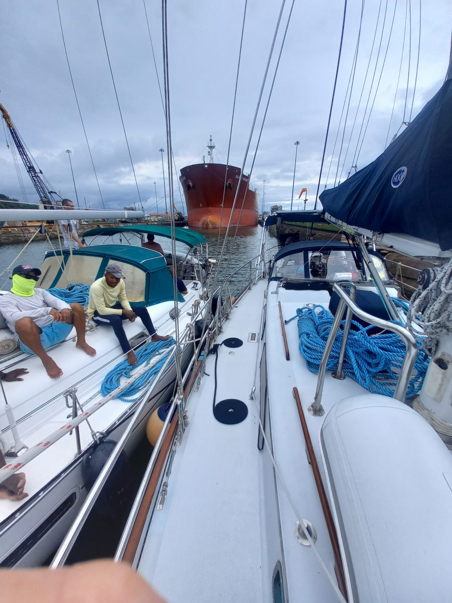
As we approached the latter half of Gatun lake we were carefully watching for the progress of the Silver Hague, our new lock buddy, who was travelling at up to 11 knots behind us while we steadfastly maintained our 6.5 in an effort to beat him to the locks. With 6 miles to go, he was looming upon us and the tension mounted, but the advisor gave us the news that we were ‘in the clear’. Although the Silver Hague was still traveling at a good 9 knots, he was entering the final few miles and would have to slow to take on the pilot and crew, and team up with the tugs that would push him into the Gatun locks behind up. He could not overtake us at this point.
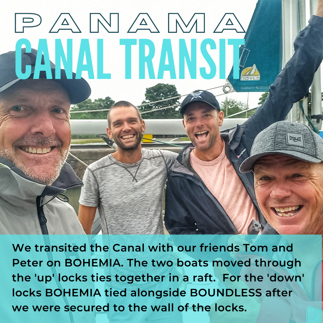
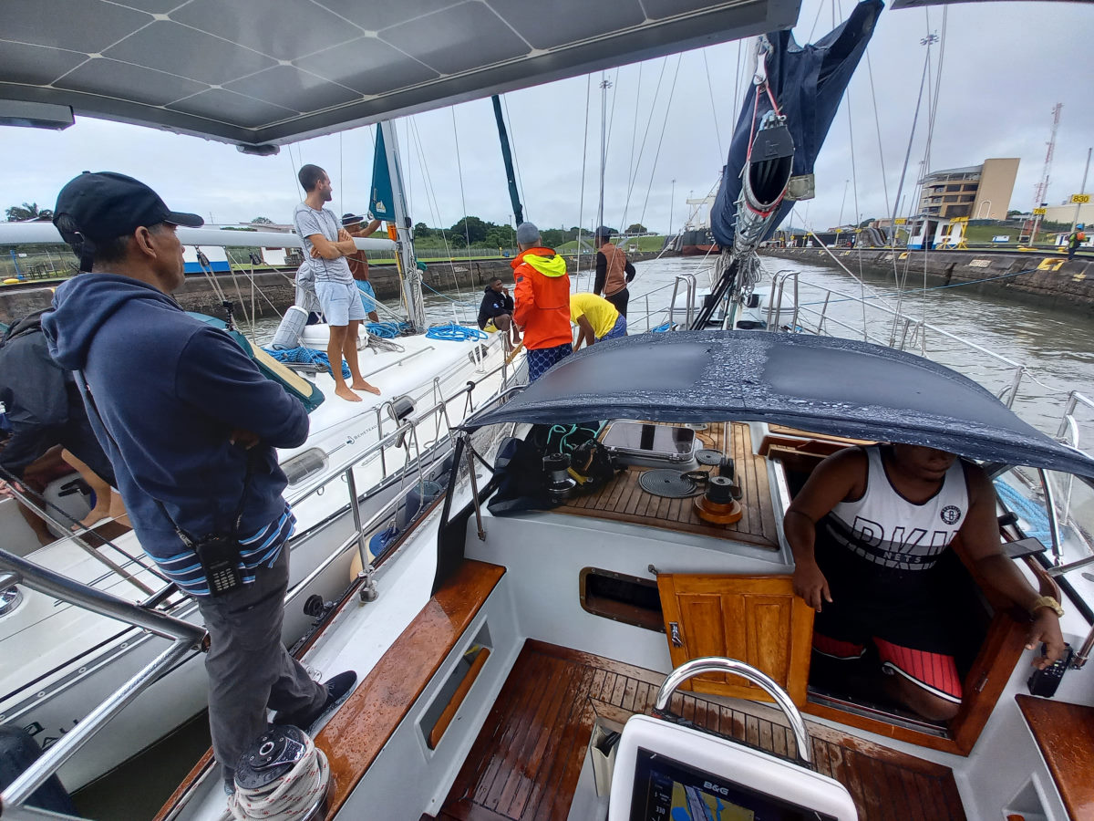
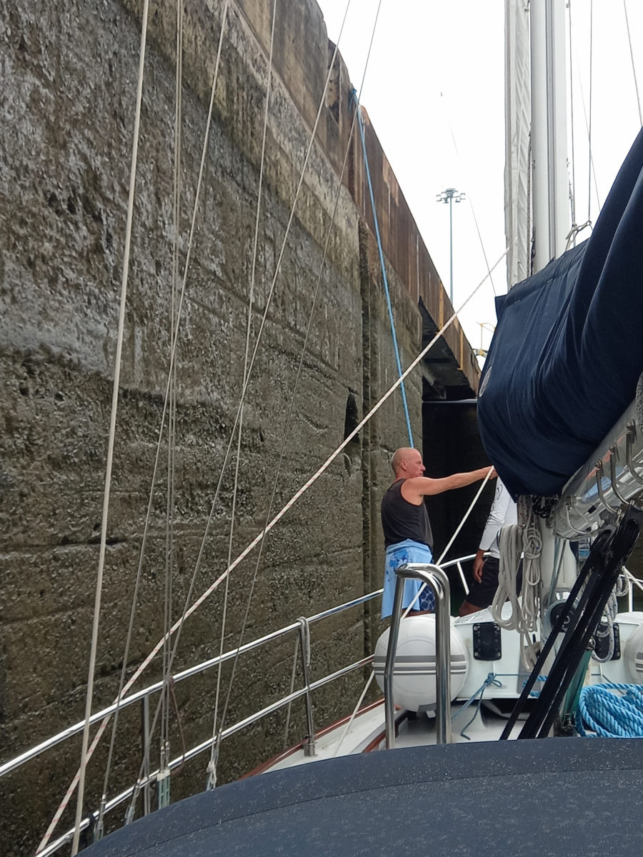
The advisors announced the process for the down locks would be different. A condition of our being permitted to exit the canal system in the one day was that we would be tied to the wall of the locks, as opposed to the center-chamber position we enjoyed in the ‘up’ locks. This is a very unfavorable situation for the ‘up’ process as the swell can cause damage to sailboat spreaders hitting the lock wall as the boat rocks around in the turbulence, however the ’down’ process, requiring only that water be drained out of the lock, is a calmer experience. Critically for the Canal Authority, being center-chamber requires four men on the side of the locks to progress the lines along as the rafted boats move through the locks, but the side wall tie requires only one canal employee on the wall.
This prudent use of manpower is likely an example of the kind of changes that have taken place since the Canal was passed from the Americans to the Panamanians in 1999. Our advisor, Armando has worked for the Canal since 1991, and therefore had a perspective of the difference in the management of the Canal under the two authorities. When asked about these differences, he agreed with the answer given by the advisor I had talked with on CONVERSATIONS during my trip with them through the canal in March. Both clearly stated that the operation these days has a focus on profit, whereas the Americans saw the venture as a non-profit driven strategic advantage. As a result, conditions for employees had deteriorated, but on the other hand the cash influx from the Canal was in the multiple billions each year, as opposed to the 40 million paid annually by the Americans under the previous arrangement.
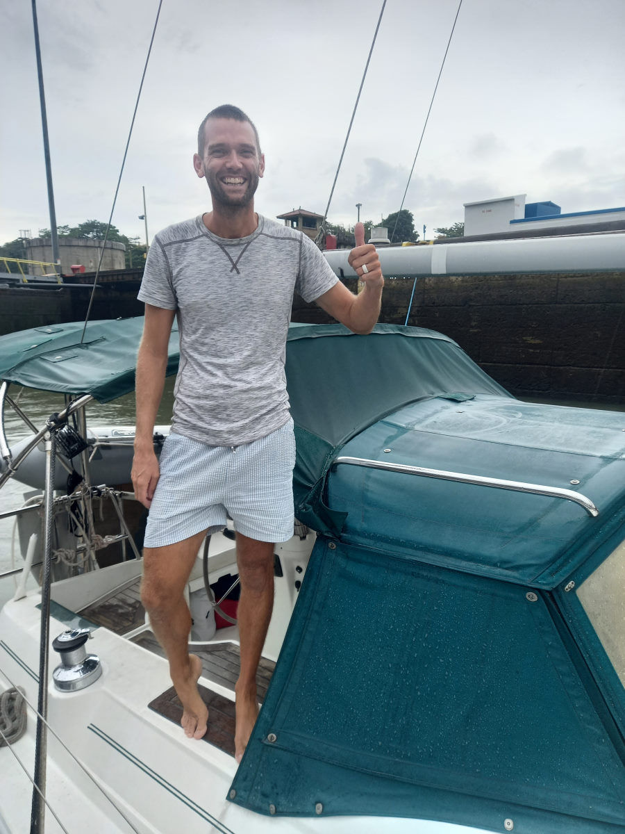
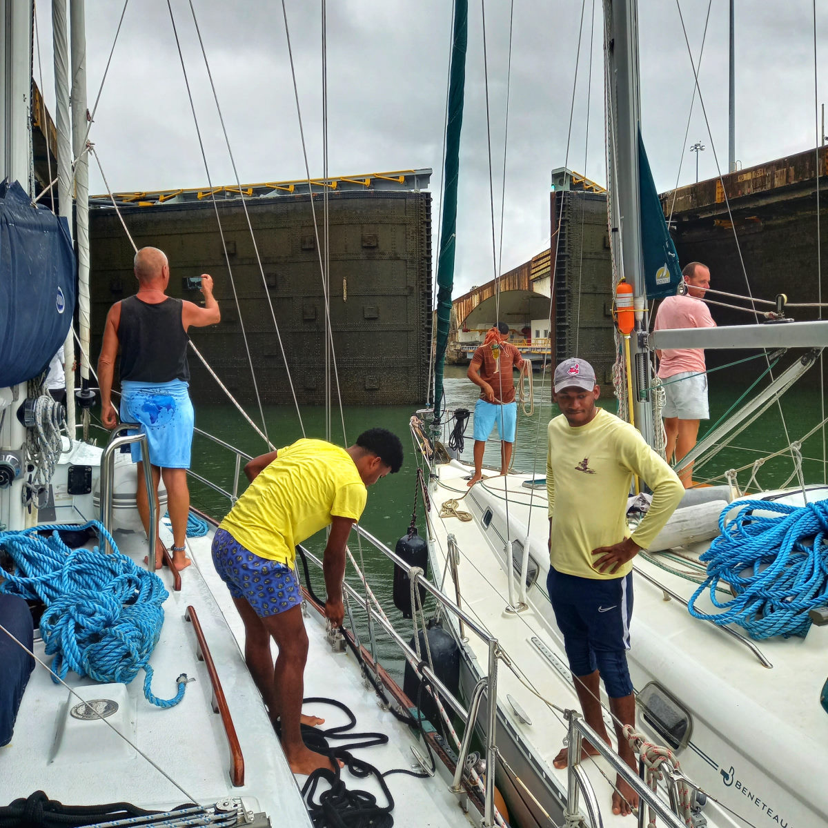
We entered each of the three locks, tied to the side wall, and Bohemia then tied alongside. There was an upbeat mood on both boats, the line handlers were happy not to be spending a night on a random boat in the middle of a lake, and the Boundless and Bohemia crew excited for the prospect of completing the transit and entering a new ocean. The only tense moments were for Tom and I as maneuvering the boats between the three locks was challenging; there was a substantial current that would propel the boat at an alarming speed and resisting the speed made steerage almost nonexistent.
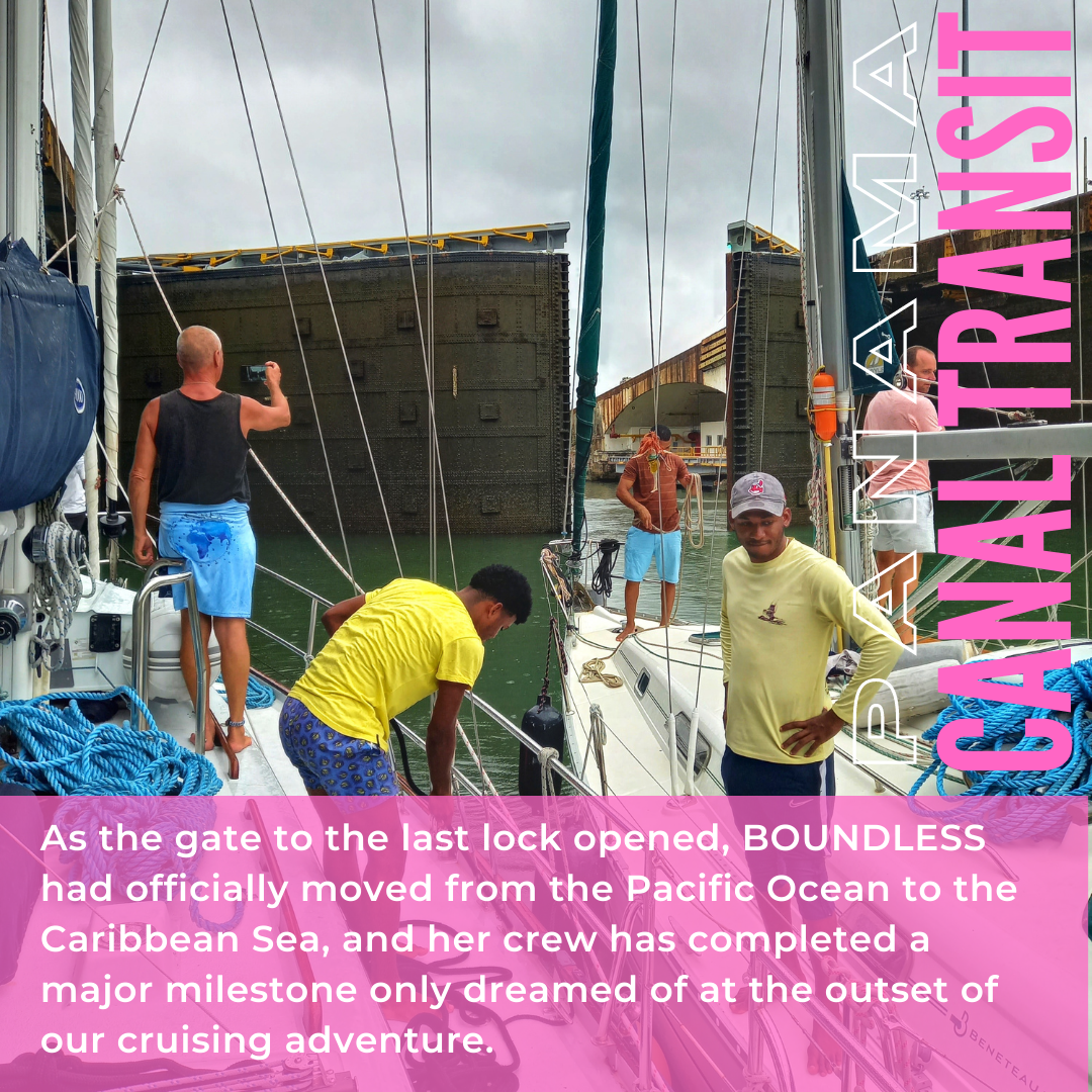
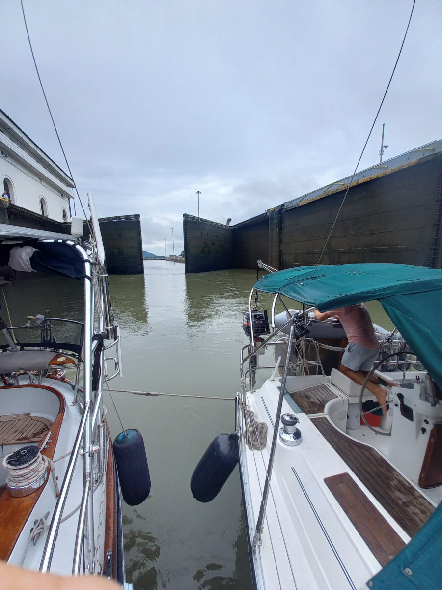
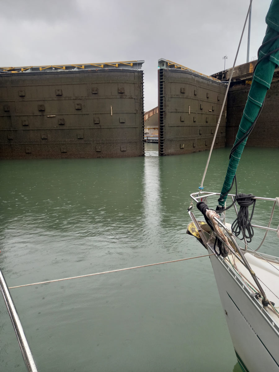
As the final lock emptied, the sky that had looked ominous for a while final gave in to light rain, which did little to hamper our enthusiasm as the forbidding steel gates opened ahead of us to reveal the Caribbean Sea, albeit murky, grey, and pelted with the persistent rain.

Shelter Bay Marina, our destination for today, and this season, was an hour away. We celebrated with beers with our temporary crew and Colin and I took a moment to reflect on the achievement of having come from San Francisco to the Caribbean, something that seemed to slip off our tongues when people would ask us “where are you going to go?” when we sent off in 2019. Armando left us at the designated meeting point, and in pouring rain we made our way the last few miles, between anchored tankers to the Shelter Bay Entrance. The normal docking and formalities taken care of, we shared a toast of Prosecco with Tom and Peter, and made our way to the Shelter Bay restaurant for a celebratory meal, both pleased with the day, and proud of the bigger-picture milestone achieved.

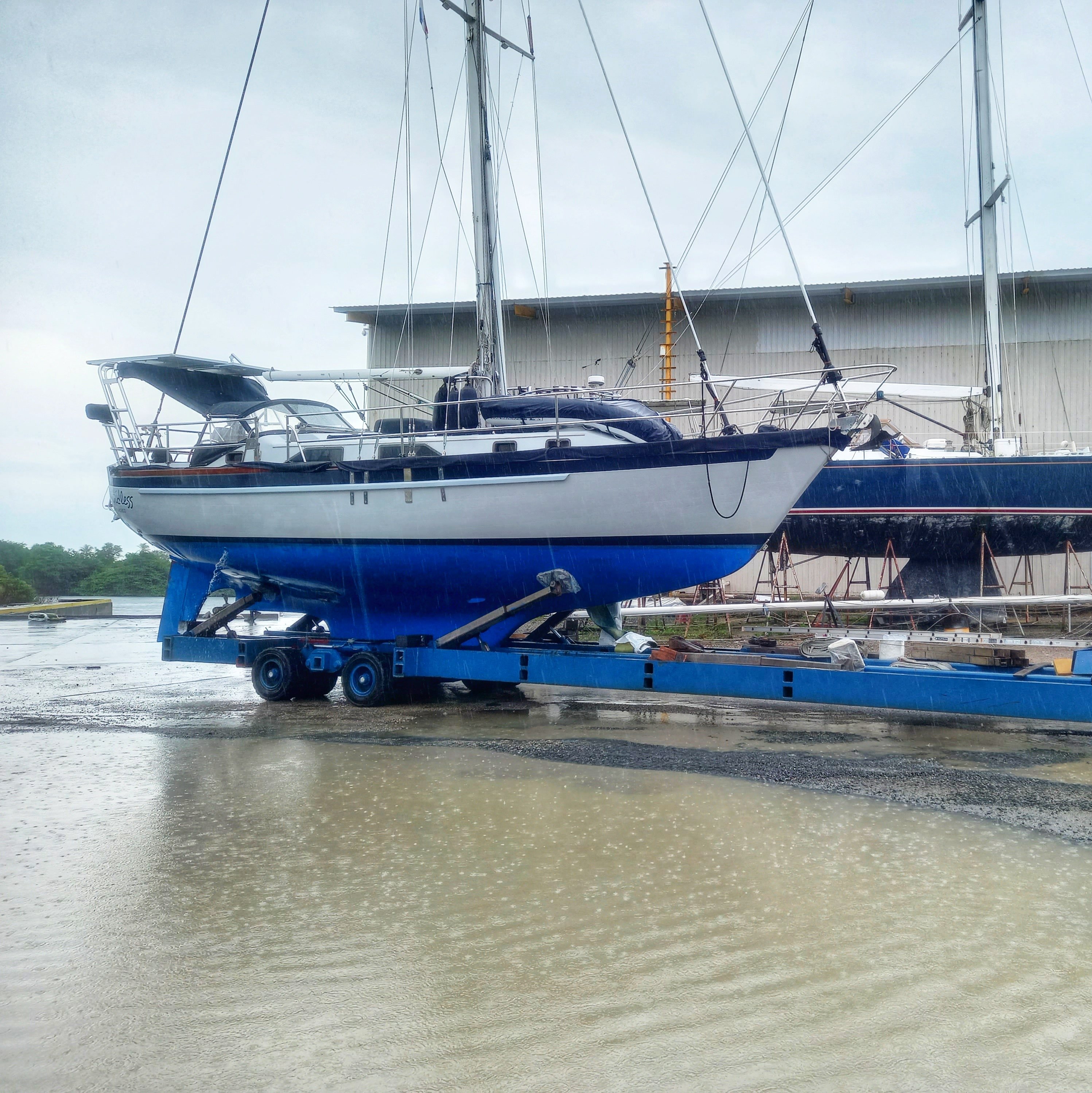
At Shelter Bay
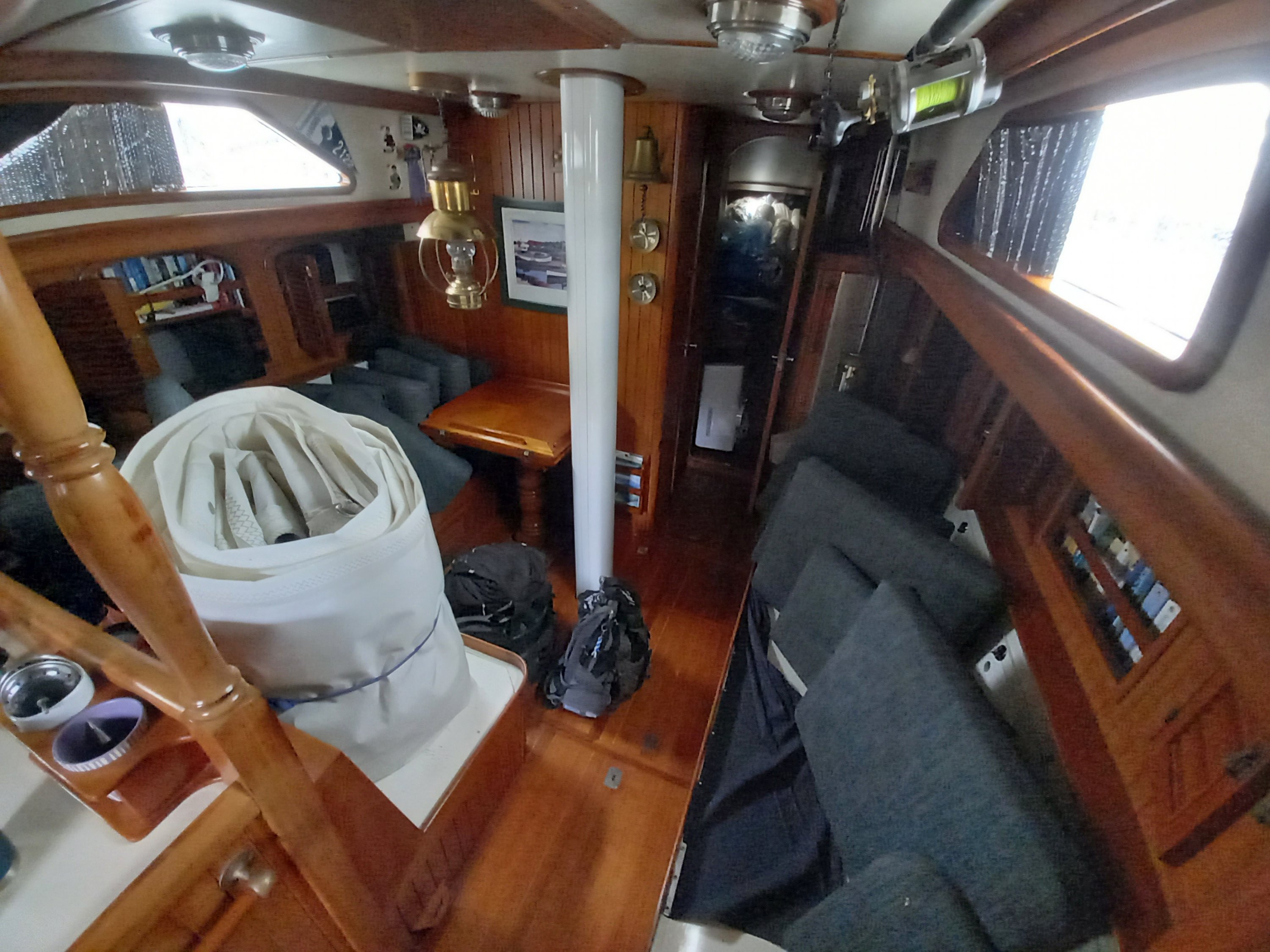
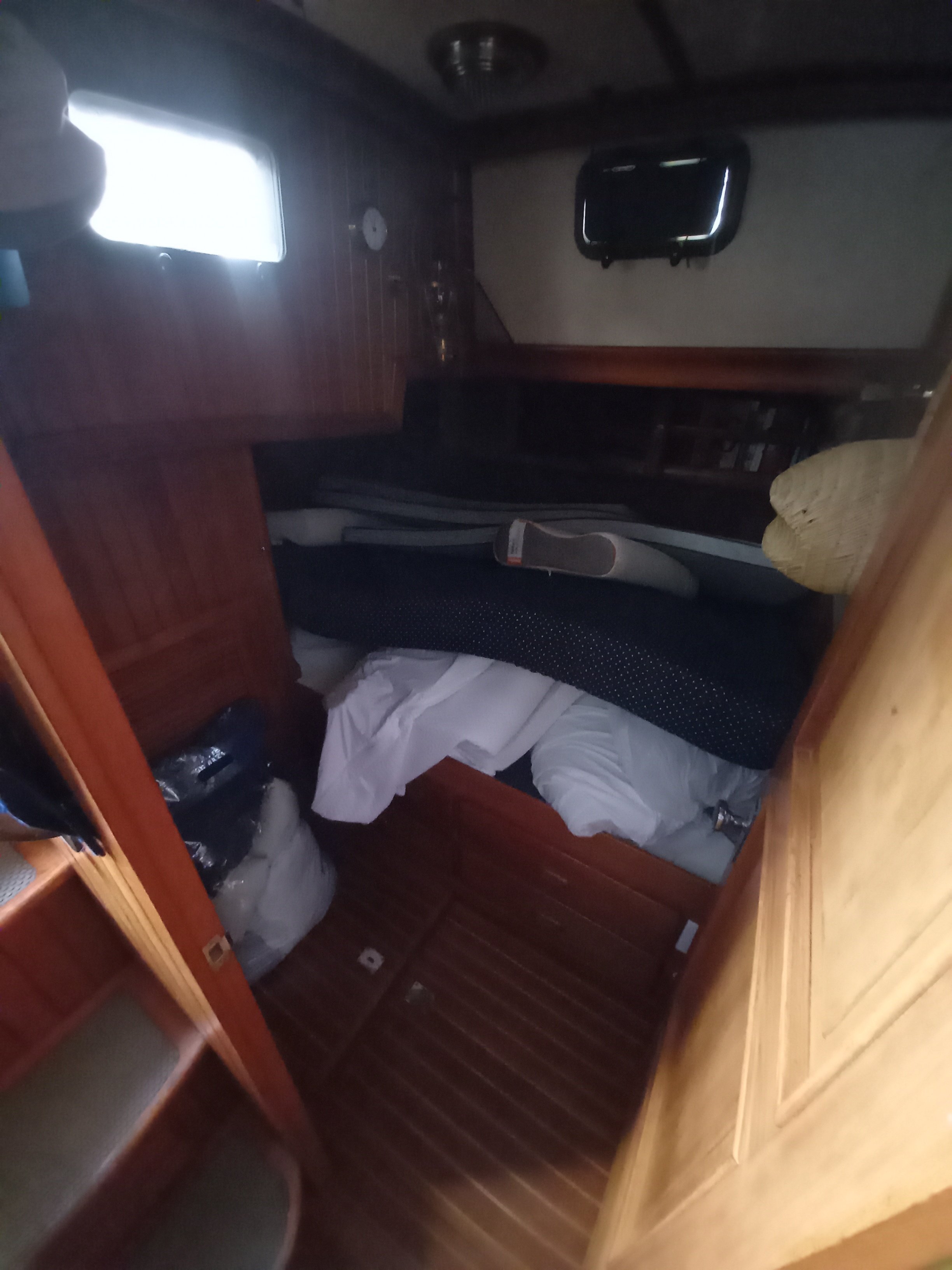
With rainy season well upon us, it was time to get the boat ready for storage for the summer in the tropical moisture. This meant rain proofing as much as possible and preparing the inside for which Colin did a great job sealing up clothes, curtains and anything else that could rot, and wiping down the entire interior with vinegar.
With the objective of eliminating all of the pesky leaks that had appeared, along with the rain, we started on a re-bedding of the genoa tracks, a project that would have to eventually wait until we return with the machine screws we needed, and not readily available in Panama.
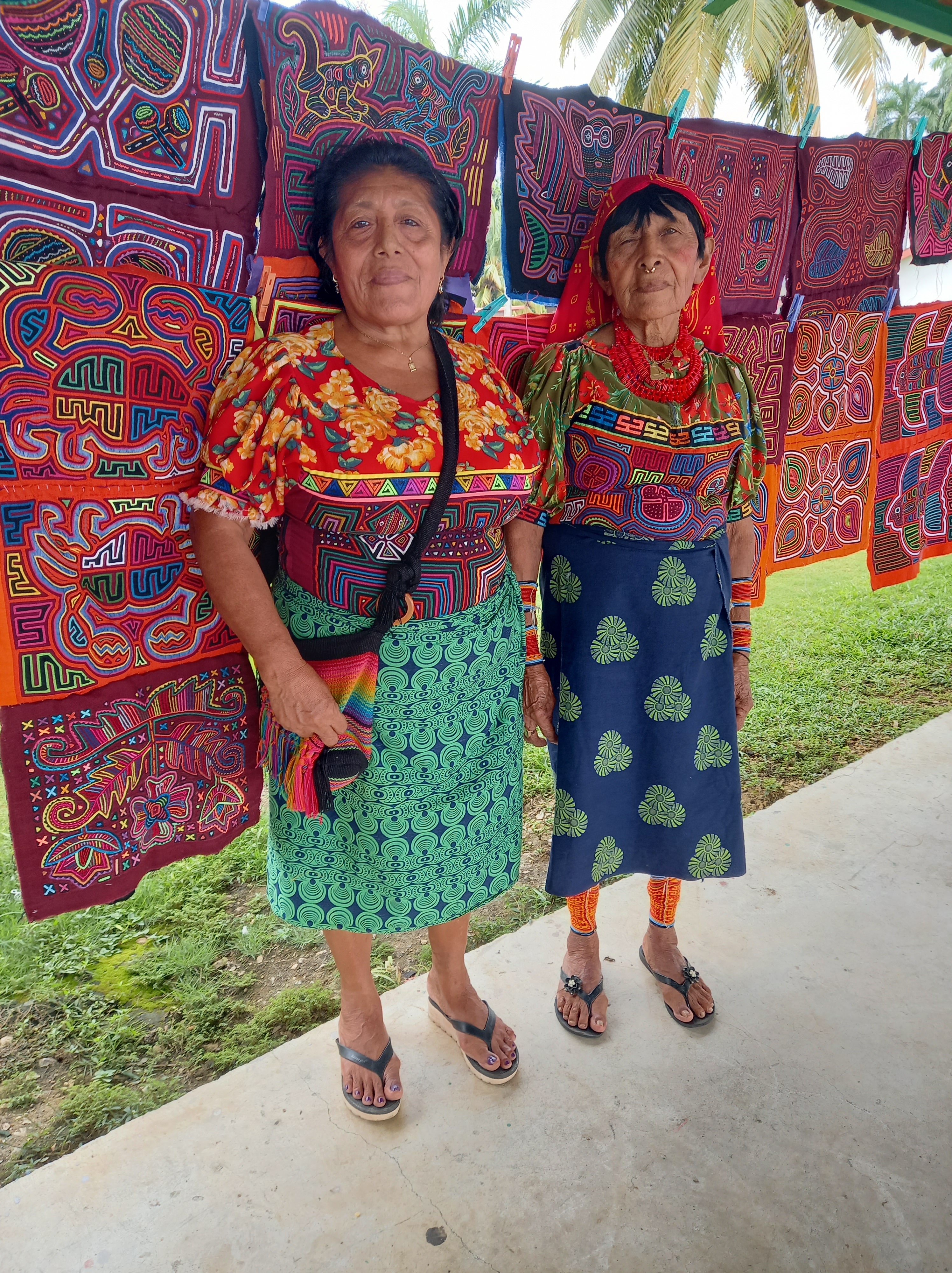
We also took the opportunity to buy some molas from the two lovely Guna ladies at the marina as gifts for the family we planned to visit on our summer in Canada and the U.K.